Влезте
Всички ресурси
Създаване на дизайн
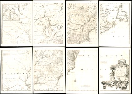
A map of the British and French dominions in North America - with the roads, distances, limits, and extent of the settlements, humbly inscribed to the Right Honourable the Earl of Halifax, and the (7118605149)
Изтегляне
Редактиране на изображение
Публикувано от:
Creazilla
Автор:
Norman B. Leventhal Map Center at the BPL
Източник:
commons.wikimedia.org
Loading...
0 stažení
Печат
Копиране на изображение
Зареждане...
old maps of north america
1755 mitchell map
old maps of canada from the norman b. leventhal map center
old maps of the united states from the norman b. leventhal map center
ПОДОБНИ