Влезте
Всички ресурси
Създаване на дизайн
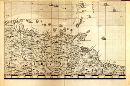
A map of the British Empire in America with the French and Spanish settlements adjacent thereto LOC 2009582407-21
Изтегляне
Редактиране на изображение
Публикувано от:
Creazilla
Автор:
Popple, Henry; Toms, W. H. (William Henry); Seale, Richard William; Lemprière, C. (Clement); Baron, Bernard
Източник:
commons.wikimedia.org
Loading...
0 stažení
Печат
Копиране на изображение
Зареждане...
18th-century maps of barbados
maps in the library of congress
a map of the british empire in america with the french and spanish settlements adjacent thereto
ПОДОБНИ