Влезте
Всички ресурси
Създаване на дизайн
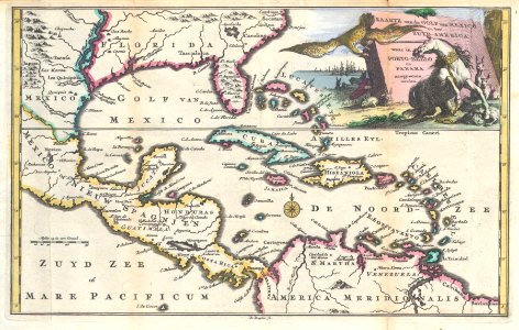
1747 Ruyter Map of Florida, Mexico and the West Indies - Geographicus - PortoBello-ratelband-1747
Изтегляне
Редактиране на изображение
Публикувано от:
Creazilla
Автор:
Daniel de Lafeuille (1640–1709)
Източник:
commons.wikimedia.org
Loading...
0 stažení
Печат
Копиране на изображение
Зареждане...
johannes ratelband
dutch-language maps
daniel de la feuille
1740s maps of the caribbean
1747 in the caribbean
1747 maps of central america
ПОДОБНИ