Влезте
Всички ресурси
Създаване на дизайн
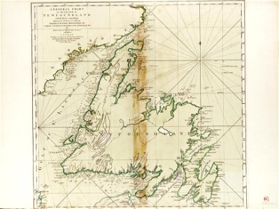
A general chart of the Island of Newfoundland with the rocks and soundings, drawn from surveys taken by order of the Right Honourable the Lords Commissioners of the Admiralty. By James Cook and Michael Lane surveyors and RMG F0187
Изтегляне
Редактиране на изображение
Публикувано от:
Creazilla
Автор:
James Cook
Източник:
commons.wikimedia.org
Loading...
2 stažení
Печат
Копиране на изображение
Зареждане...
charts and maps of the royal museums greenwich
james cook (maps relating to)
1775 maps
old maps of newfoundland
ПОДОБНИ