Влезте
Всички ресурси
Създаване на дизайн
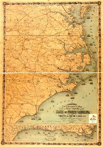
Colton's new topographical map of the eastern portion of the state of North Carolina with part of Virginia & South Carolina from the latest & best authorities. LOC 2008621646
Изтегляне
Редактиране на изображение
Публикувано от:
Creazilla
Автор:
Colton, J. H. (Joseph Hutchins); Colton, J. H.
Източник:
commons.wikimedia.org
Loading...
0 stažení
Печат
Копиране на изображение
Зареждане...
maps in the library of congress
1861 maps
19th-century maps of north carolina
ПОДОБНИ