Влезте
Всички ресурси
Създаване на дизайн
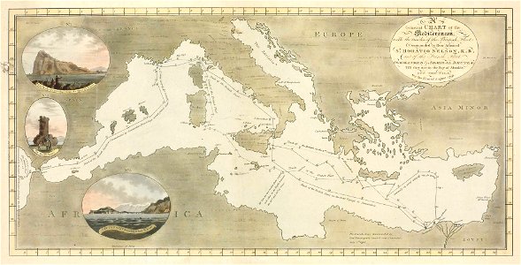
General Chart of the Mediterranean with the tracks of the British Fleet - and of the French Fleet - till they met in the Bay of Aboukir off the Nile On the First of August 1798 RMG PW4697
Изтегляне
Редактиране на изображение
Публикувано от:
Creazilla
Автор:
Cooper Willyams; J. White
Източник:
commons.wikimedia.org
Loading...
4 stažení
Печат
Копиране на изображение
Зареждане...
печат
лондон
drawings and watercolours of the royal museums greenwich
battle of the nile
18th-century maps of the mediterranean sea
maps in the national maritime museum
cooper willyams
ПОДОБНИ