Влезте
Всички ресурси
Създаване на дизайн
72 Свободни изкуства за 1590 Maps
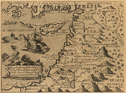
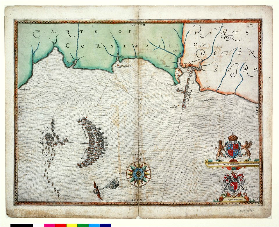
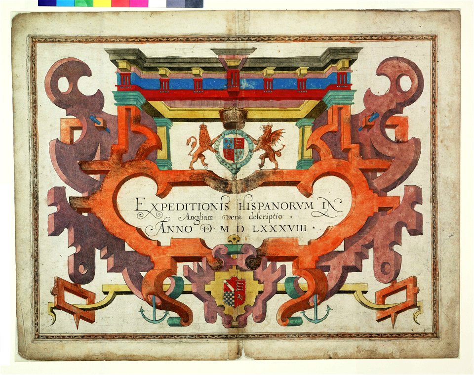
карти
море
винтидж
компас
карта на света
пътуване
акварел
постер
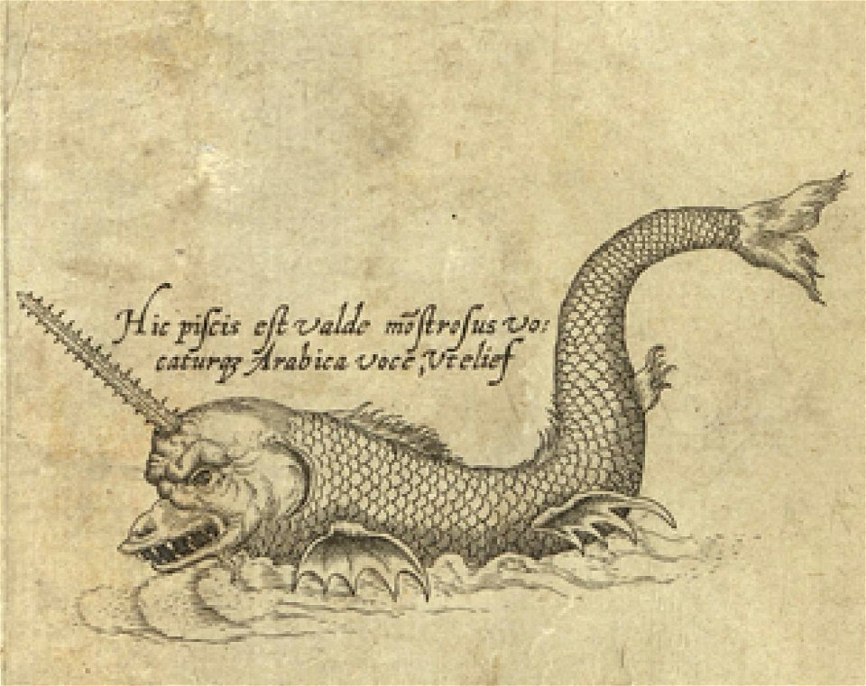
морско чудовище
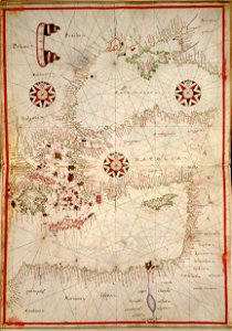
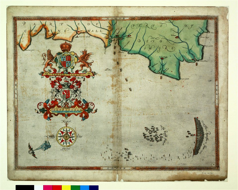
карти
море
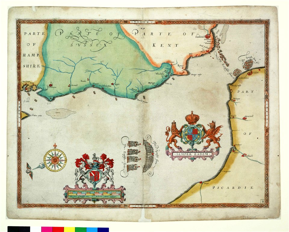
карти
море
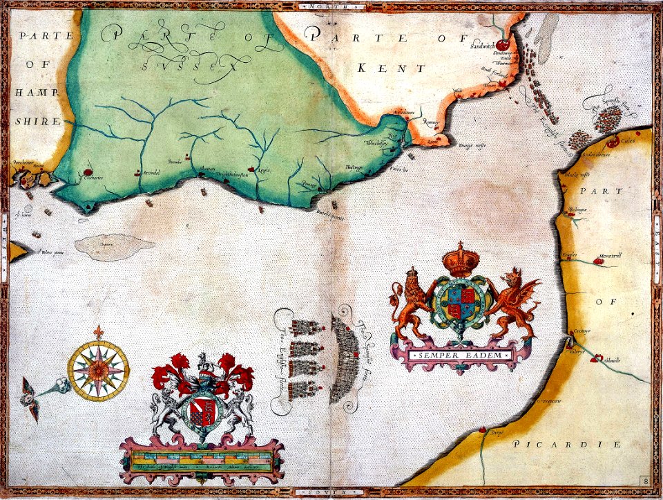
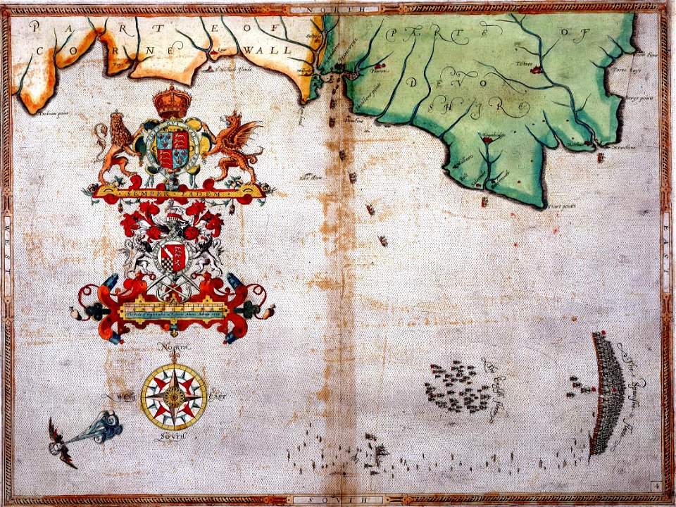
карти
море
винтидж
карти
1 - 72 z celkového počtu 72
/ 1