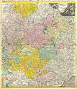
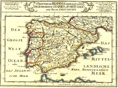
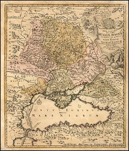
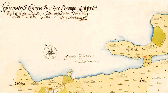
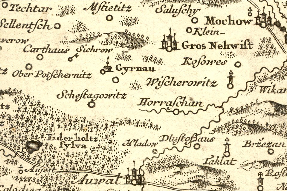
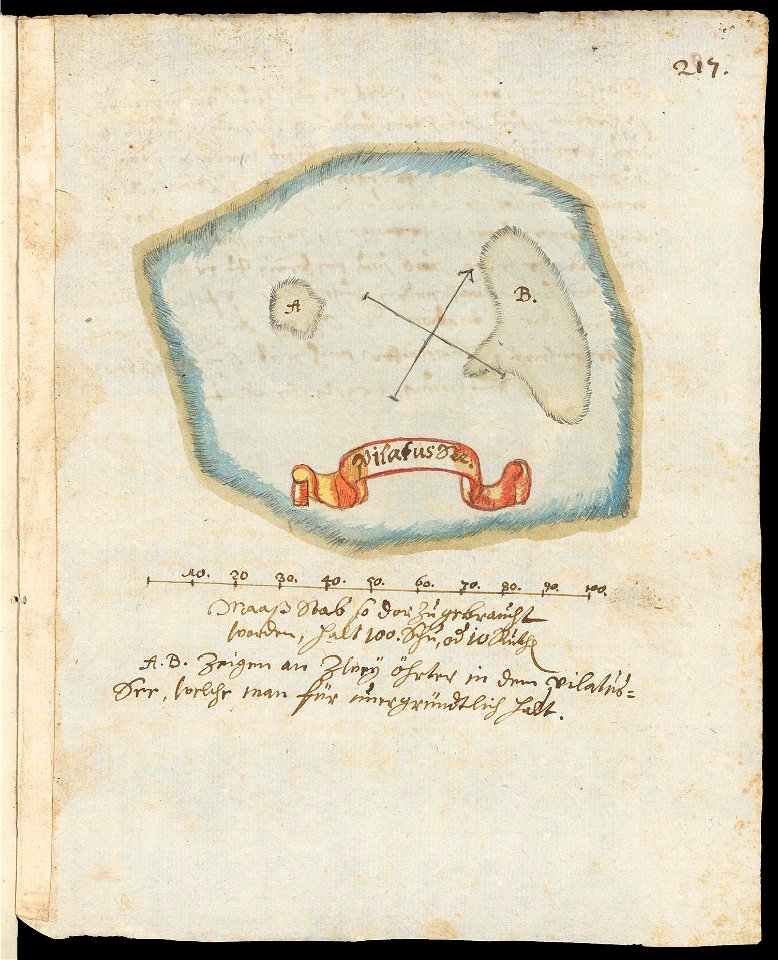
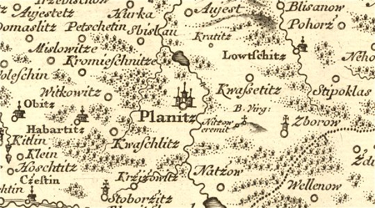
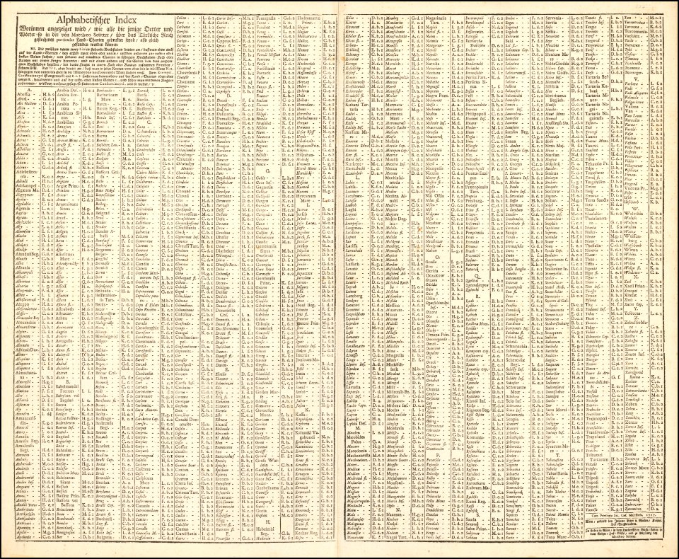
65 Свободни изкуства за 1720 Maps

Christoph Weigel. Asia intra Mæotim pontvm et mare Caspivm. 1720
1720 Homann Map of Northern Italy Danubii Fluminis - Geographicus - CoursDanube-homan-1720
Asiae Peninsula sive Asia intra Taurum, 1720 (Weigel)
1720 Homann Map of Franconia, Germany ( Bavaria, Bamberg, Würtzburg, Nuremberg ) - Geographicus - Franconiae-homann-1720
1720 De La Feuille Map and View of Gibraltar - Geographicus - Gibraltar-lafeuille-1720
Compendiosa Hispaniae representatio die konigreich Spanien und Portugall mit ihren provincien
Johann Baptist Homann. Tabula Geographica qua pars Russiae Magnae Pontus Euxinus seu mare Nigrum. Nuremberg 1720
Grönstaviken 1720
Pribyslav Mueller 1720
Södergarn 1720
1Fi1 plan de l'incendie de Rennes
Stara Lysa Mueller 1720
1720 Homann Map of Transylvania ( Romania ) - Geographicus - PrincipatusTransilvaniae-homann-1716
Sticklinge gård 1720
Livorno map of the town (1720) by Alberto Carlo Seutter 01
Volary Mueller 1720
Vrchlabi mueller 1720
Gåshaga gård 1720
1727 map of the Ottoman Empire by Matthaus Seutter
Corfou 1720
Jirny Mueller 1720
Karte Pilatussee um 1720
Planice Mueller 1720
1727 map of the Ottoman Empire by Matthaus Seutter index
AMH-7597-NA Map of the west coast of Africa, Senegal
AMH-6424-NA Map of Bali and Lombok
Kounice Mueller 1720
Gent-ghent-gand-belgium-antique-bodenehr-map-1720-color
Ca. 1720 celestial map by Georg Christoph Eimmart
AMH-7598-NA Map of the west coast of Africa, Senegal
Skärsätra och Kottla gård 1720
AMH-6407-NA Map of southern Africa
AMH-7595-NA Map of Arguin and environs, west coast of Africa
AMH-7596-NA Map of Arguin and environs, west coast of Africa
Circulus Sueviae Homann after1729
Gerard Van Keulen. Nieuwe Caart van de Capische Zee, met alle met all desselfs Riviere, Eylanden en Dieptens. (with view of Astrakan). ca. 1720
Mapa Caribe 1720
Bergholmen, ö, 1720
AMH-6425-NA Map of southern Sulawesi
1723 GMG1097-1102 934 Batavia
Mullerova mapa Cech 14 Teinitz
Stora Bredwijk och Kiäppala, 1720
Adel im Wandel243
Rudboda, Västra Yttringe, Östra Yttringe mm, 1720
1723 GMG1097-1102 862 Tafelbaay
AMH-6411-NA Map of the mouth of the Ganges in Bengal, part A
Västra yttringe, Östra Yttringe, Hustega 1720
Libotenice Mueller 1720
AMH-6412-NA Map of the mouth of the Ganges in Bengal, part B
1747 La Feuille Map of Holland - Geographicus - Holland-lafeuille-1747
AMH-6426-NA Map showing the coasts of New Guinea
The Very Famous Island of Madhead 1720 Cornell CUL PJM 1019 01
UB Utrecht - Pieter Mortier - 1727 - Archipelague du Mexique
Augspurg die Haupt-Stadt - CBT 5877252
California or New Carolina Place of Apostolic Works of Society of Jesus at the Septentrional America
Karlsruhe Bodenehr 1721 koloriert
Tabula geographica qua pars Rusiae Magnae - Pontus Euxinus seu Mare Nigrum et Tartaria Minor cum finitimis Bulgariae Romaniae et Natoliae Provinciis LOC 2011585232
Plan de la Ville de Ceuta
Tabula novissima atque accuratissima Caraibicarum insularum sive Cannibalum, quae etiam Antillae Gallicae dicuntur, item insulae Supraventum, et in Archipelago Mexicano sitae sunt, ac detectae a (4584053590)
Deserta Aegypti, Thebaidis, Arabiae, Syriae etc. ubi accurate notata sunt loca... - CBT 6626834
Aegyptus hodierna ex itinerario celeberrimi viri Pauli Lucae Franci desumta ac... - CBT 6627027
Aegyptus Hodierna, Map of Egypt MET L.2009.33.13
1 - 65 z celkového počtu 65
/ 1