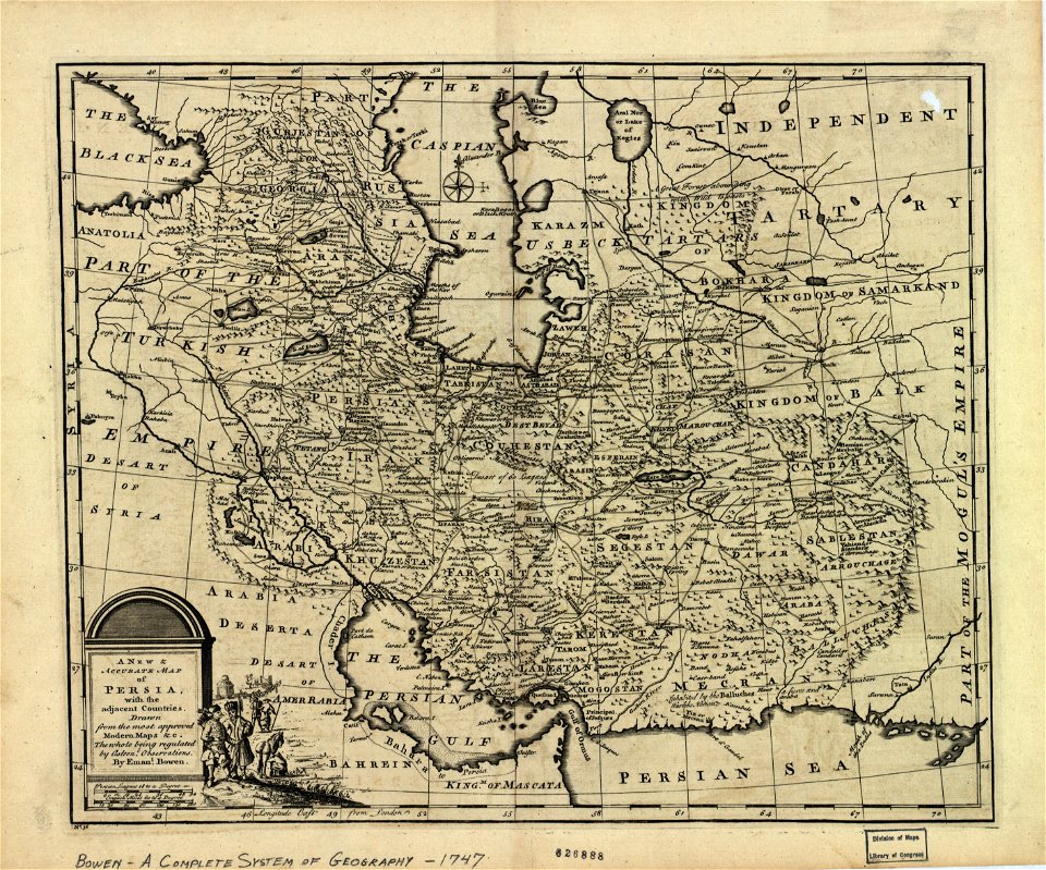
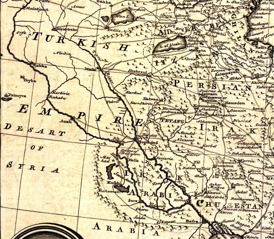
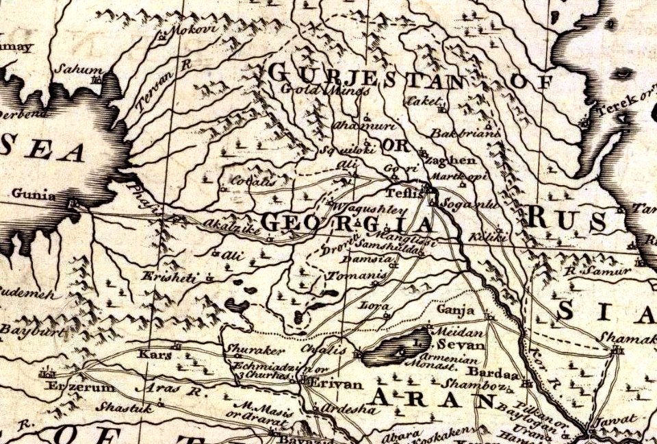
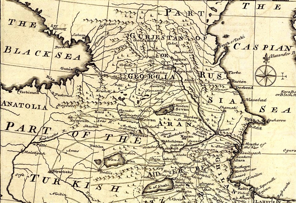
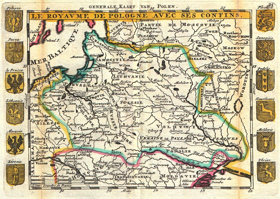
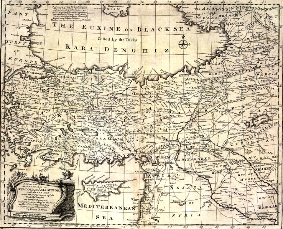
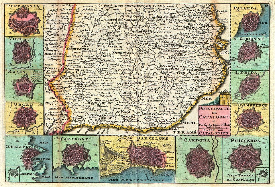
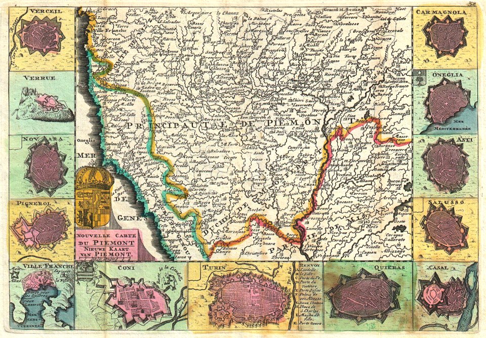
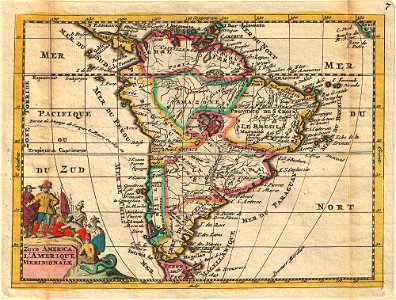
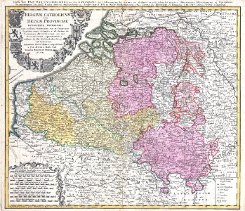
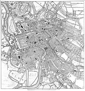
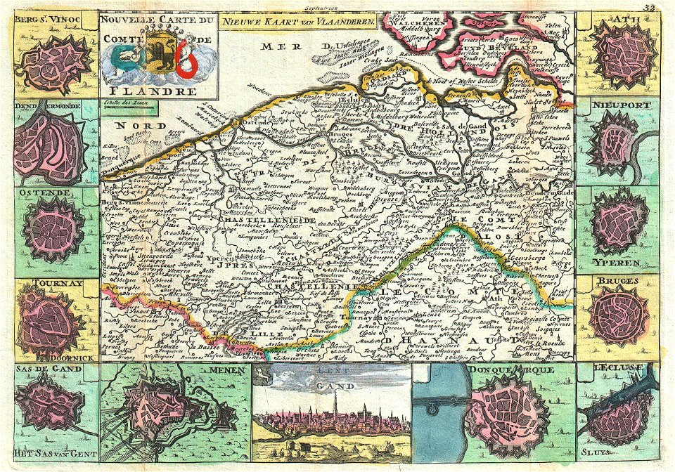
118 Свободни изкуства за 1747 Maps

New and accurate map of Persia
Bowen, Emanuel. Persia, adjacent countries. 1747 (C)
Bowen, Emanuel. Persia, adjacent countries. 1747 (BA)
Bowen, Emanuel. Persia, adjacent countries. 1747 (B)
1747 La Feuille Map of Andalusia, Spain (Sevilla) - Geographicus - Andalusia-ratelband-1747
Bowen, Emanuel. Anatolia, Syria. 1747
1747 La Feuille Map of Spain and Portugal - Geographicus - Spain-ratelband-1747
1747 La Feuille Map of Scotland - Geographicus - Ecosse-ratelband-1747
1747 La Feuille Map of Dauphine ( Isère, Drôme, and Hautes-Alpes), France - Geographicus - Dauphine-ratelband-1747
1747 Ruyter Map of Florida, Mexico and the West Indies - Geographicus - PortoBello-ratelband-1747
1747 La Feuille Map of Portugal - Geographicus - Portugal-ratelbank-1747
Bowen, Emanuel. Anatolia, Syria. 1747. (B)
1747 La Feuille Map of Russia - Geographicus - Muskovien-ratelband-1747
1747 La Feuille Map of Languedoc, France - Geographicus - Languedoc-lafeuille-1747
1747 La Feuille Map of Poland - Geographicus - Pologne-ratelband-1747
Bowen, Emanuel. Anatolia, Syria. 1747. (A)
1747 La Feuille Map of Catalonia, Spain (Barcelona) - Geographicus - Catalogne-ratelband-1747
1747 La Feuille Map of Piedmont, Italy - Geographicus - Piemont-lafeuille-1747
1747 La Feuille Map of Bavaria, Germany - Geographicus - Baviere-lafeuille-1747
1747 La Feuille Map of Provence, France - Geographicus - Provence-ratelband-1747
1747 La Feuille Map of Rhineland, Germany - Geographicus - Rhein-lafeuille-1747
Bowen, Emanuel. Anatolia, Syria. 1747. (C)
1747 La Feuille Map of France - Geographicus - France-ratelband-1747
1747 La Feuille Map of Northern Holland - Geographicus - NoordHolland-ratelband-1747
1747 La Feuille Map of Amsterdam and Vicinity, the Netherlands - Geographicus - Amstellande-ratelband-1747
1747 La Feuille Map of Neuchâtel, Switzerland - Geographicus - Neufchatel-ratelband-1747
Bowen, Emanuel. Persia, adjacent countries. 1747 (D)
Bowen, Emanuel. Persia, adjacent countries. 1747 (DB)
1747 La Feuille Map of Liege, Belgium ( Leodiensis) - Geographicus - Leodiensis-lafeuille-1747
1747 La Feuille Map of Brabant ( vicinity of Brussels ), Belgium - Geographicus - Hertogdom-lafeuille-1747
1747 La Feuille Map of South America - Geographicus - SouthAmerica-ratelband-1747
Bowen, Emanuel; Orbeliani, Sulxan-Saba. A new and accurate map of the Caspian Sea. 1747. (A)
1730 Homann Heirs Map of Belgium and Luxembourg - Geographicus - BelgiumCatholicum-hmhr-1747
Roque's Map of Bristol 1747
1747 La Feuille Map of Flanders ( Holland and Belgium) - Geographicus - Flandre-lafeuille-1747
Bowen, Emanuel. Persia, adjacent countries. 1747 (BC)
Bowen, Emanuel. Persia, adjacent countries. 1747
AMH-7963-KB Map of Anjuan
Bowen, Emanuel. Persia, adjacent countries. 1747 (DC)
Bowen, Emanuel. Persia, adjacent countries. 1747 (A)
1747 La Feuille Map of Holland - Geographicus - Holland-lafeuille-1747
Bowen, Emanuel. Persia, adjacent countries. 1747 (E)
Persian(IRAN) Empire 1747
AMH-7952-KB Map of the Comoros
1747 La Feuille Map of Hungary - Geographicus - Hongrie-lafeuille-1747
1747 La Feuille Map of Scandinavia ( Sweden, Norway, Finland ) - Geographicus - Scandinavia-ratelband-1747
Bowen, Emanuel. Persia, adjacent countries. 1747 (DA)
AMH-7905-KB Map of the mouth of the Senegal river
AMH-7885-KB Map of Arguin Bay
AMH-7951-KB Map of the Benin Gulf
Schleuen Abriss der Königlichen .. Berlin 1747
AMH-7888-KB Map of the island of Goeree
Bowen, Emanuel; Orbeliani, Sulxan-Saba. A new and accurate map of the Caspian Sea. 1747
AMH-7956-KB Map of the mouth of the Congo River
AMH-7886-KB Map of the bay and island of Arguin
AMH-7933-KB Map of the mouth of the Sierra Leona
AMH-7957-KB Map of part of the Angolan coast
AMH-7955-KB Map of the coasts of Congo, Angola and Benguela
AMH-7875-KB Map of the southern part of the Atlantic Ocean
AMH-7932-KB Map of part of the West African coast
AMH-7873-KB Map of the Indian Ocean
AMH-7964-KB Map of part of Mozambique
AMH-6328-KB Map of a stretch of the West African coast
AMH-7880-KB Map of the Arab peninsula
AMH-8061-KB Map of Cape Corso with the British fort
AMH-7945-KB Map of the Gold Coast
AMH-7894-KB Map following the course of the Senegal river, in two parts
AMH-7895-KB Map of the mouth of the Senegal river
AMH-7960-KB Map of Table Bay
AMH-7934-KB Map of the coast of Sierra Leone to Cape Mount
AMH-7889-KB Bird's eye view of Goeree
AMH-7958-KB Map of the Cape of Good Hope
AMH-7925-KB Map of part of the east coast of Africa
AMH-7959-KB Map of Saldanha Bay
AMH-7892-KB Map of part of the west coast of Africa, near Cape Verde
AMH-7874-KB Map of the Pacific Ocean, from Malacca to Japan
AMH-7944-KB Map of a part of the West African coast with an inset showing the mouth of the Sestos
AMH-7882-KB Map of Cape Verde with a view of the island of Goeree
AMH-7893-KB Map of part of the west coast of Africa, near the Senegal river
AMH-7954-KB Bird's eye view of Loango
AMH-7926-KB View of Table Bay featuring a map of the bay and the fort
AMH-7877-KB Map of the west coast of Africa, from Gibraltar to 9 degrees north latitude
AMH-7928-KB Map of Sumatra, Java, Borneo and Malaysia
AMH-7929-KB Map of Celebes, the Moluccas and the Philippines
AMH-7943-KB Map of the West African coast, from Cape das Palmas to Cape Tres Puntas
AMH-7887-KB Elevation and floor plan of the fort at Arguin
AMH-7953-KB Map of part of the West African coast, between Cape Formosa and Cape Lopez Gonsalvo
AMH-7923-KB Map of part of the African east coast and Madagascar
AMH-7949-KB Bird's eye view of the kingdom of Whidah or Juida
AMH-7878-KB Map of the coast of Iran to the west coast of India
AMH-7931-KB Map of the coast of Tonquin and Cochinchina
AMH-7881-KB Map of the west coast of Africa, from 12 degrees north latitude to 11 degrees south latitude
AMH-7930-KB Map of Japan, China and Korea
A correct draught of the North Pole and of all the countries hitherto discovered intercepted between the pole and the parallel of 50 degrees
AMH-7948-KB View of the Dutch and English forts at Accra, with a floorplan of the English Fort James
1757 Bellin Map of South Africa and the Cape of Good Hope - Geographicus - Hottentoten-bellin-1757
AMH-7927-KB Map of the Gulf of Bengal
AMH-7883-KB Map of the west coast of Africa, from 11 degrees south latitude to the Cape of Good Hope
AMH-7884-KB Map of the east coast of Africa, from the Cape of Good Hope to the Cape del Gada
AMH-7961-KB Map of Cape Town and the fort De Goede Hoop (Good Hope)
1 - 100 z celkového počtu 118 Следваща страница
/ 2