Влезте
Всички ресурси
Създаване на дизайн
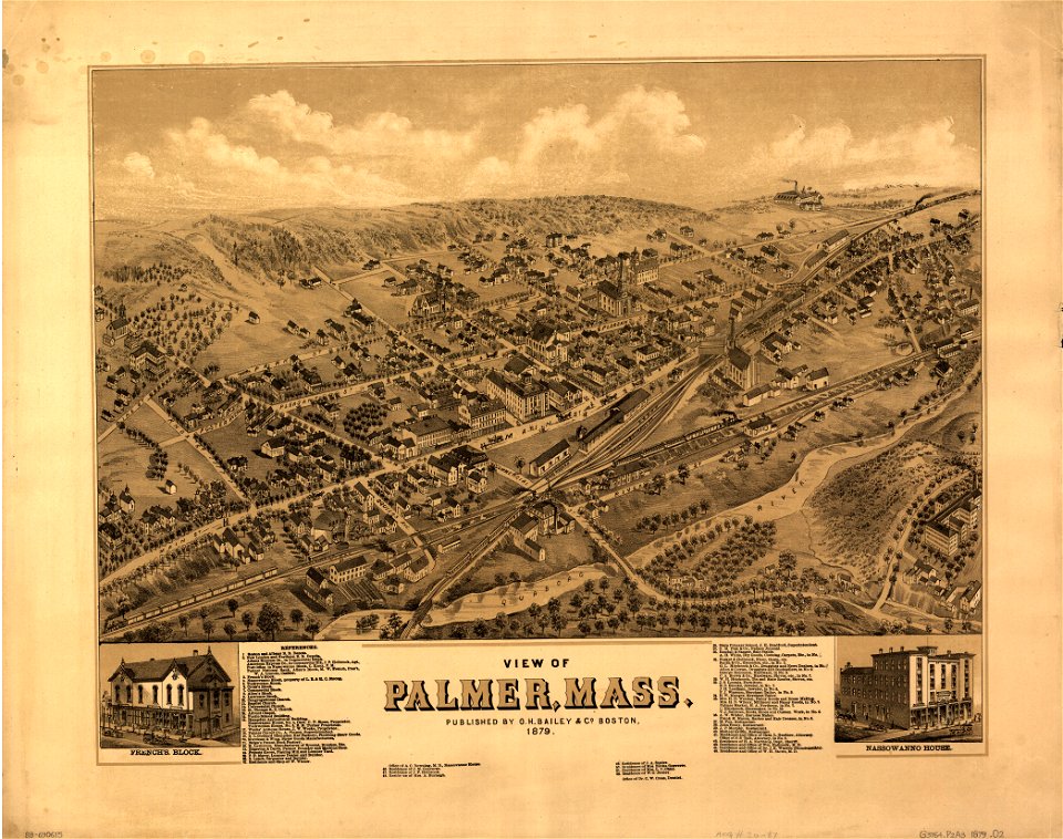
189 Свободни изкуства за 1879 Maps
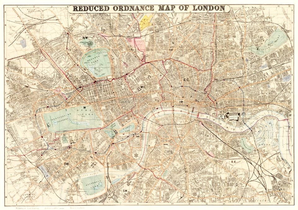
карти
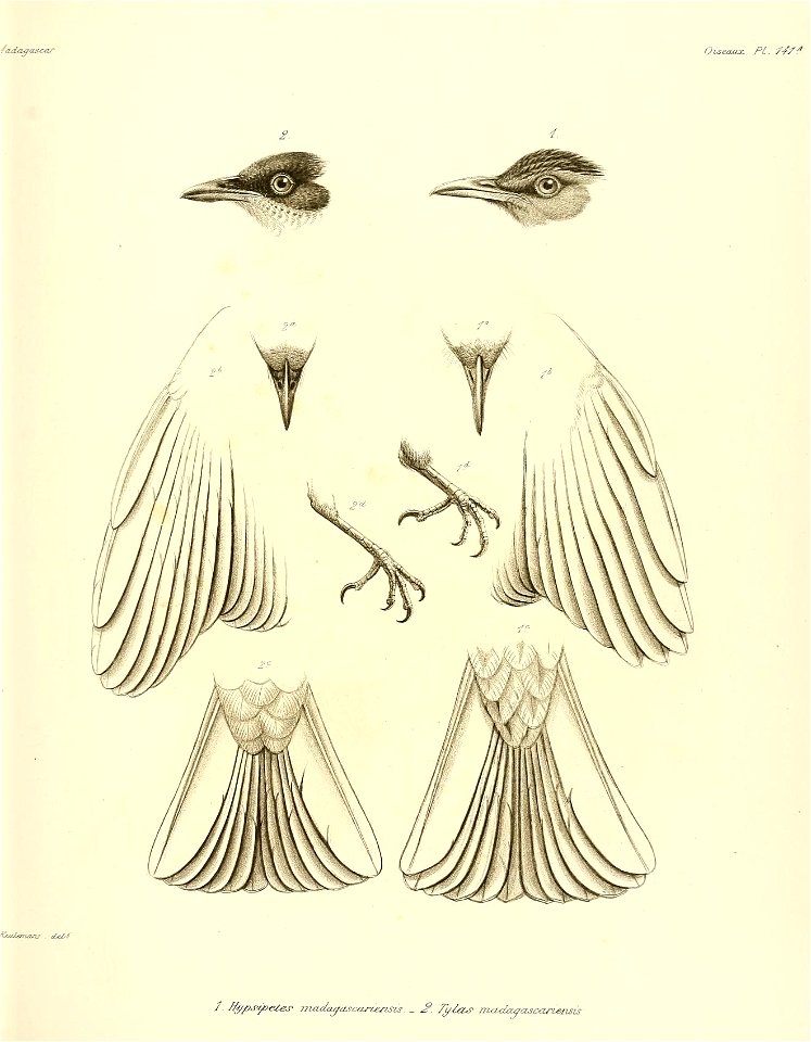
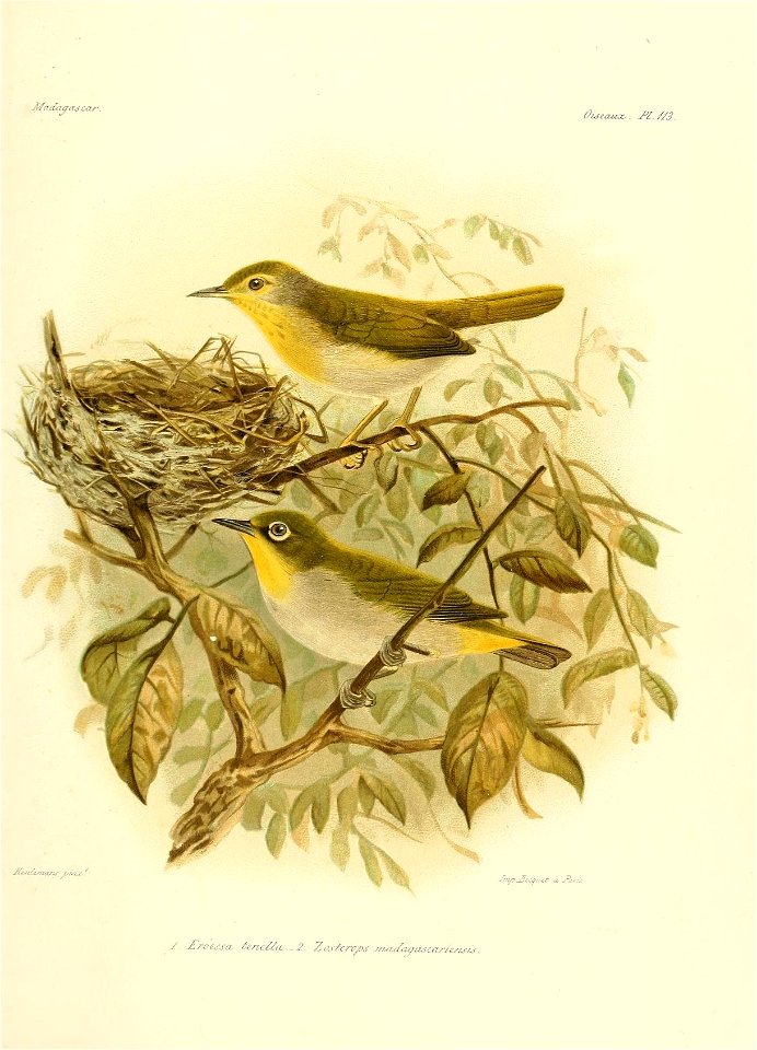
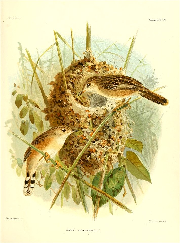
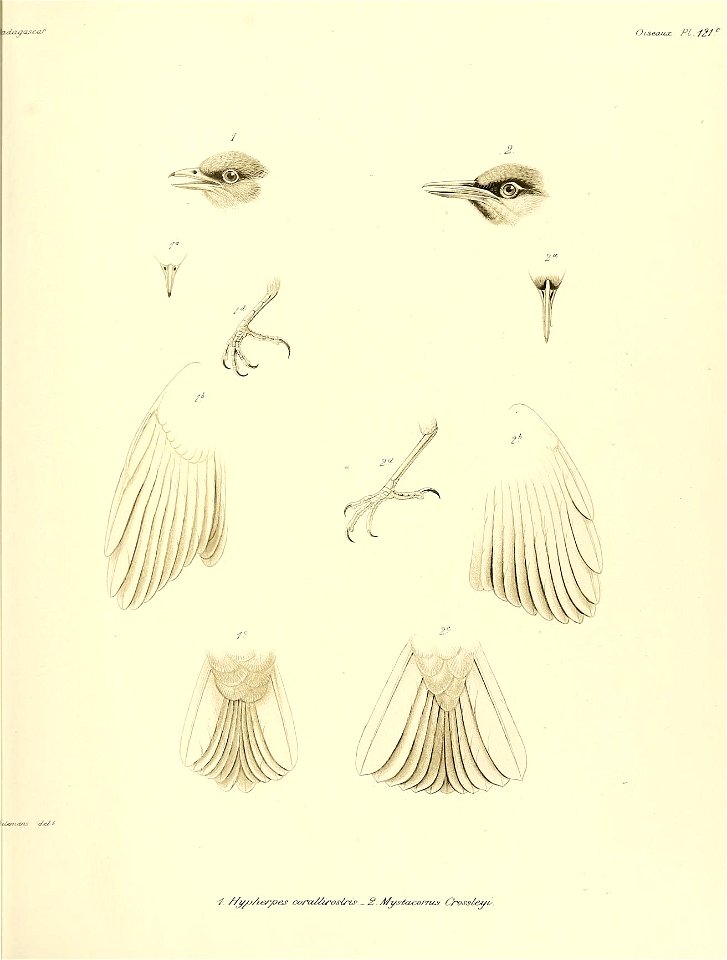
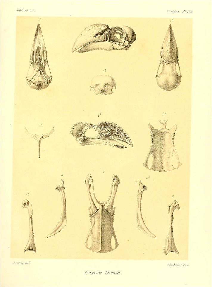
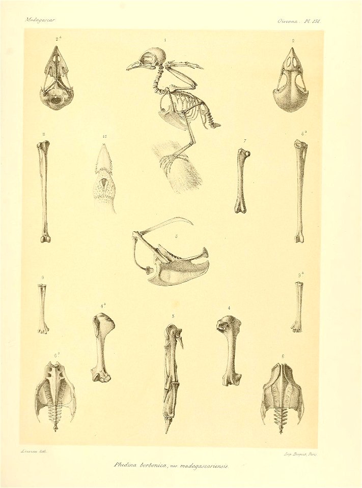
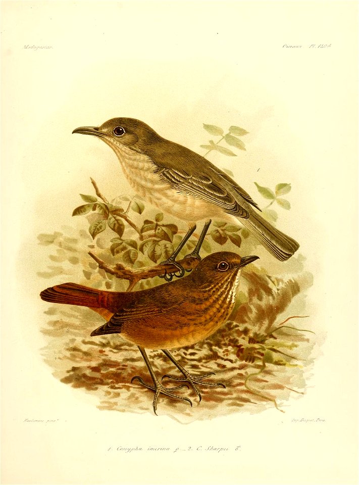
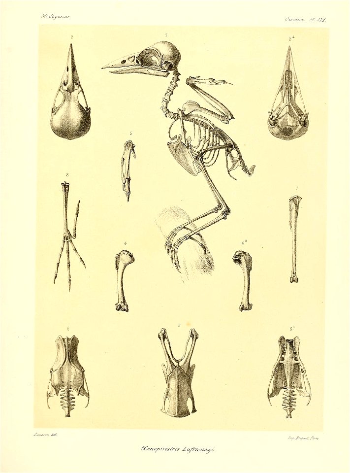
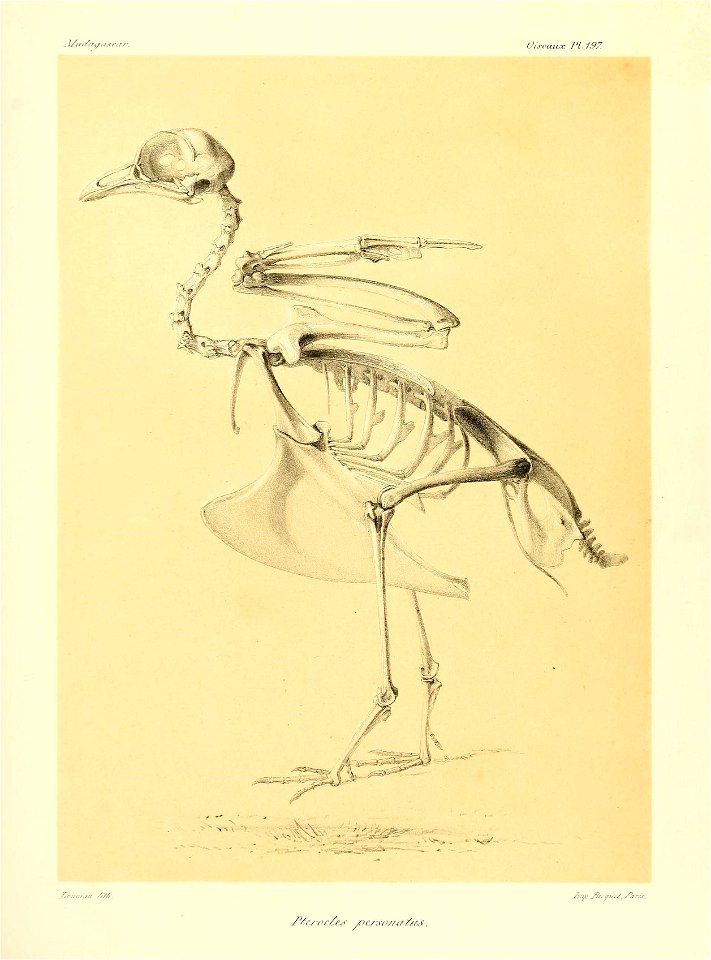
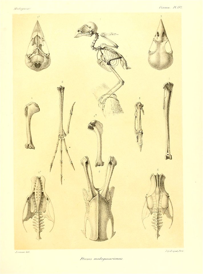
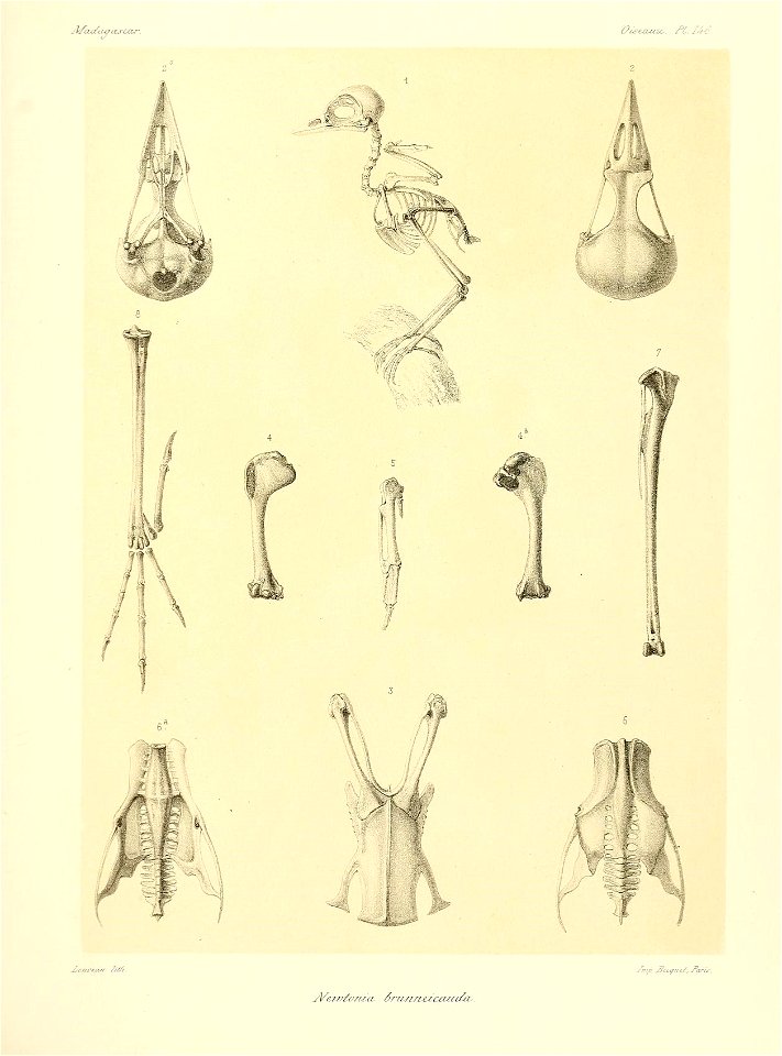
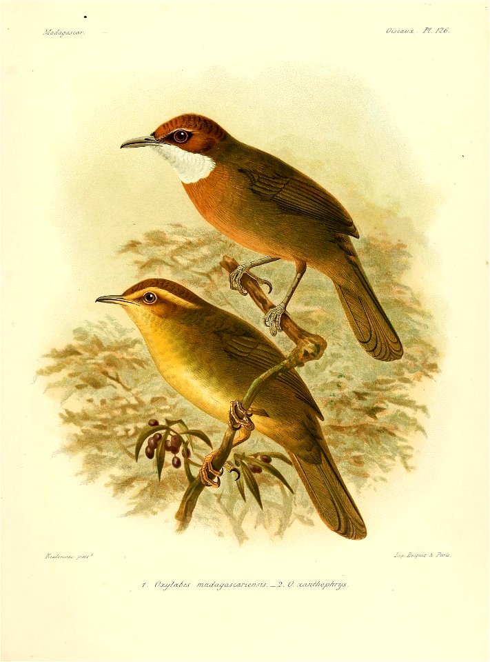
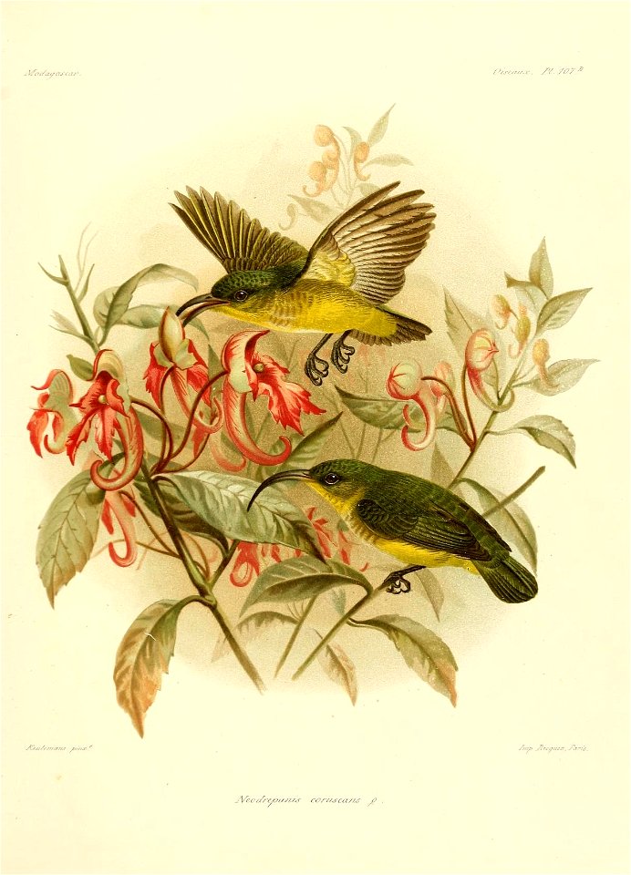
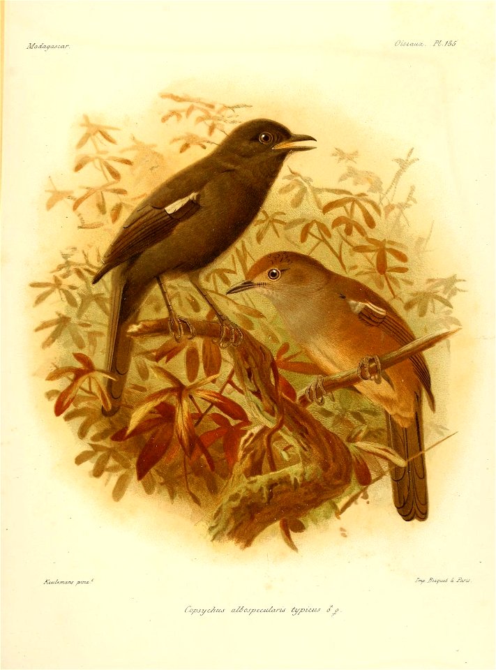
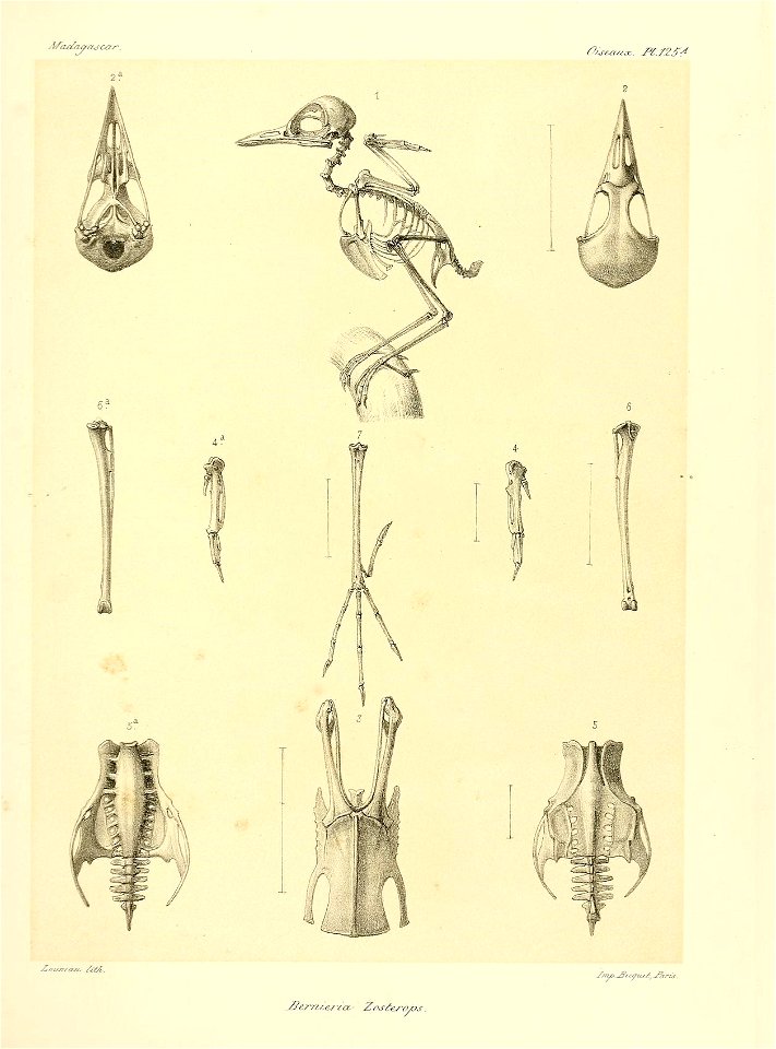
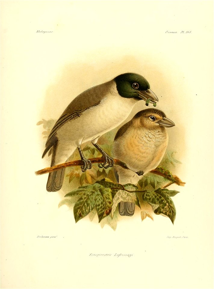
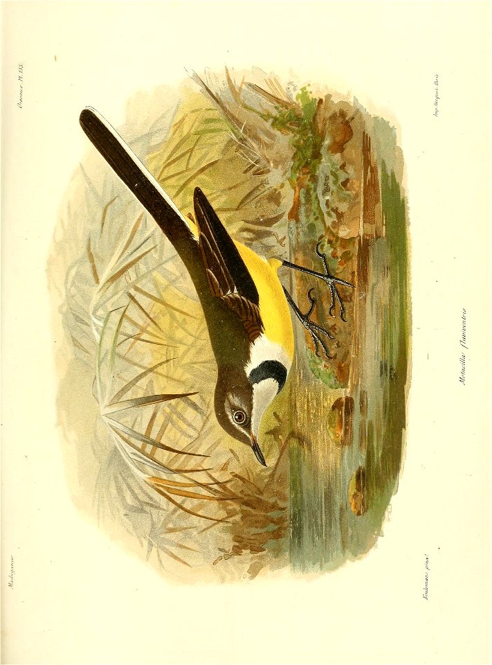
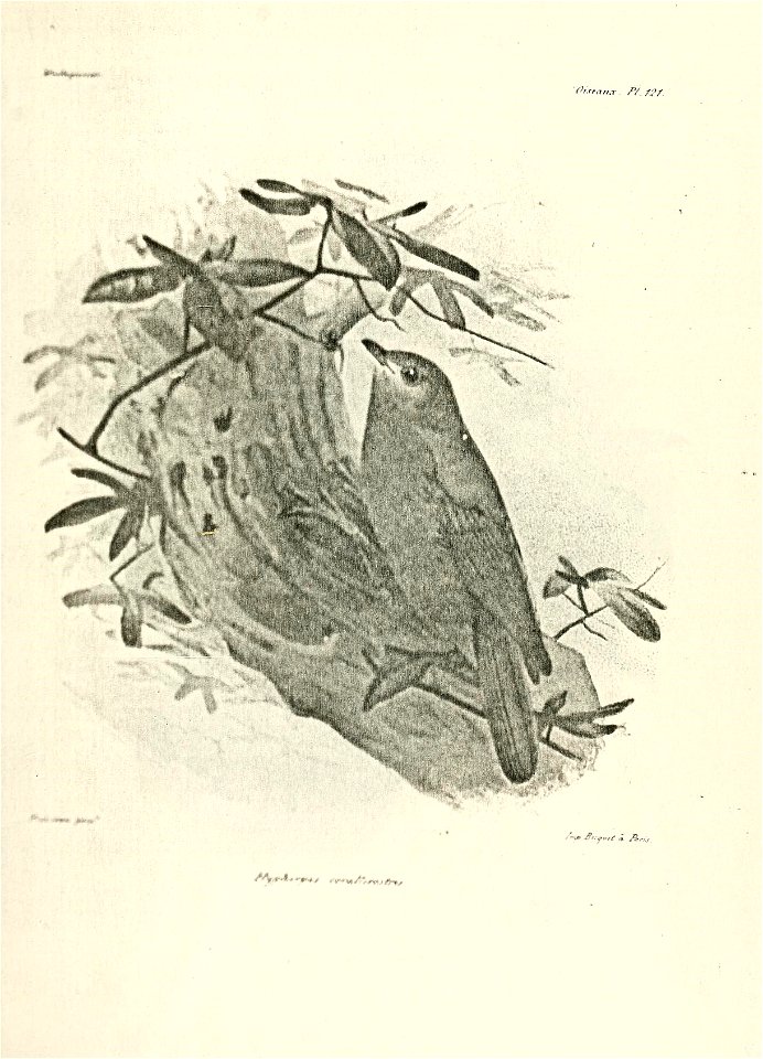
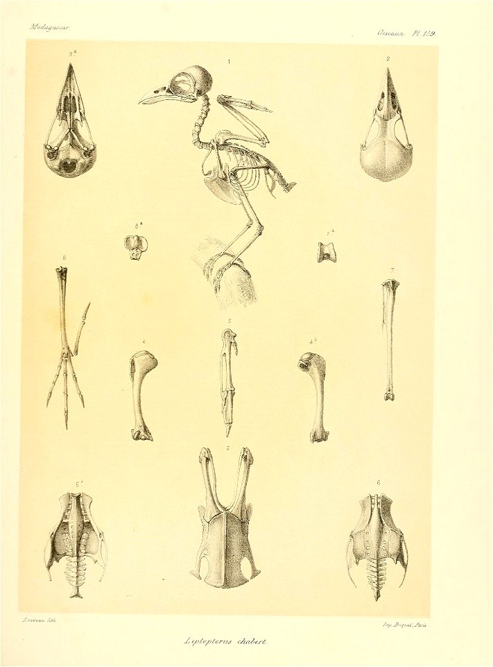
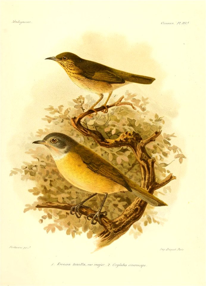
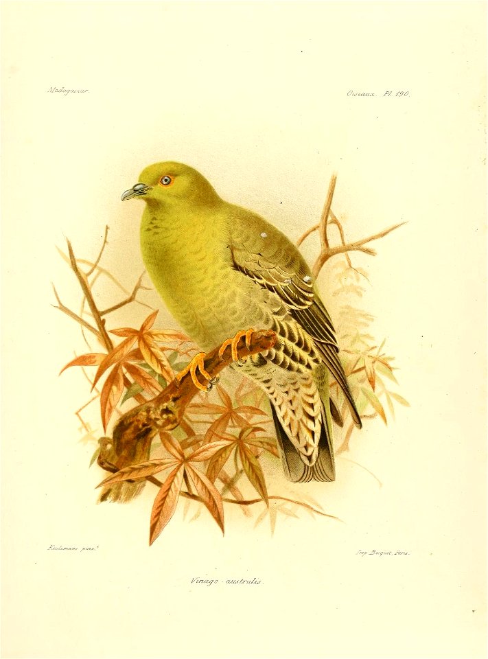
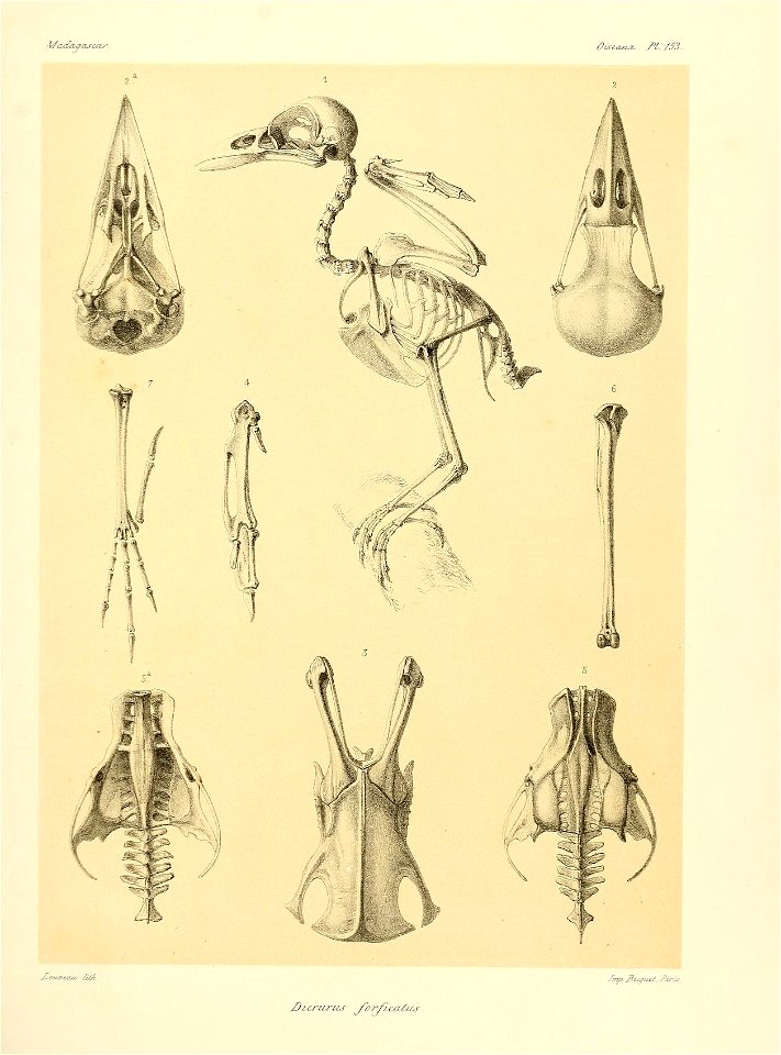
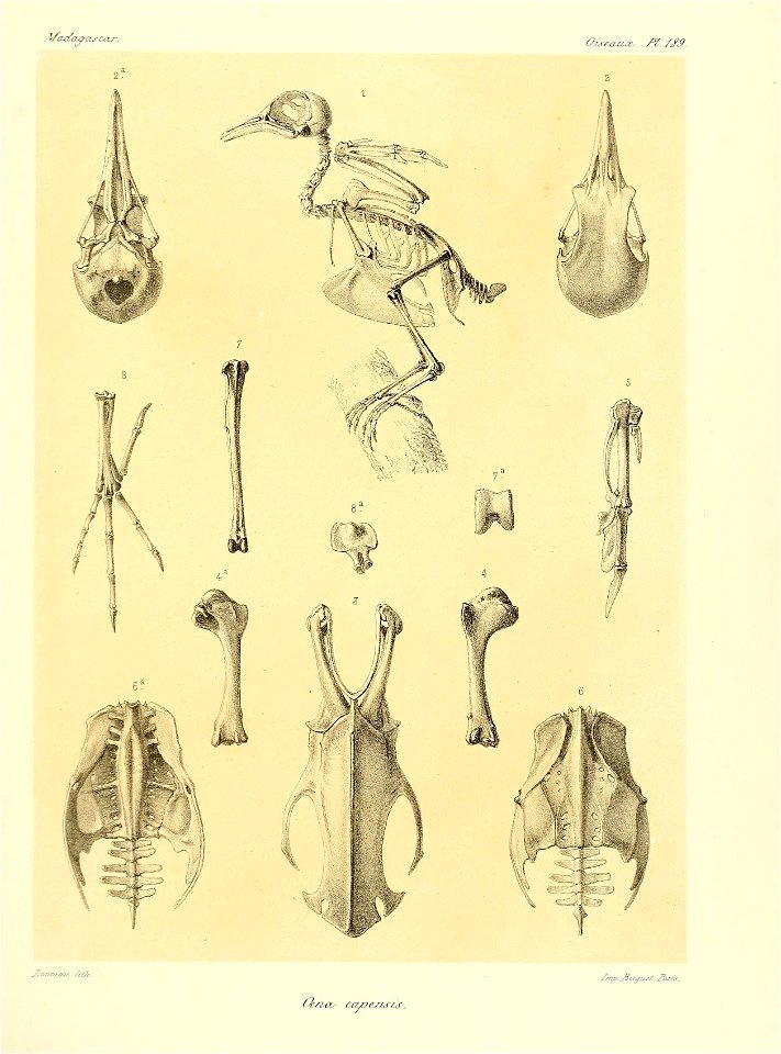
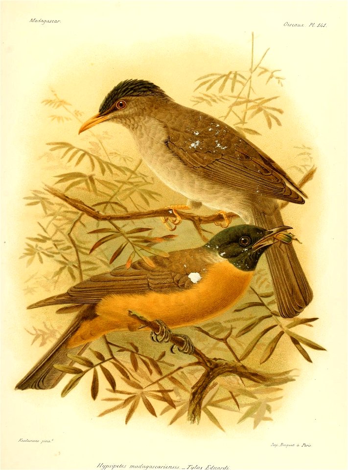
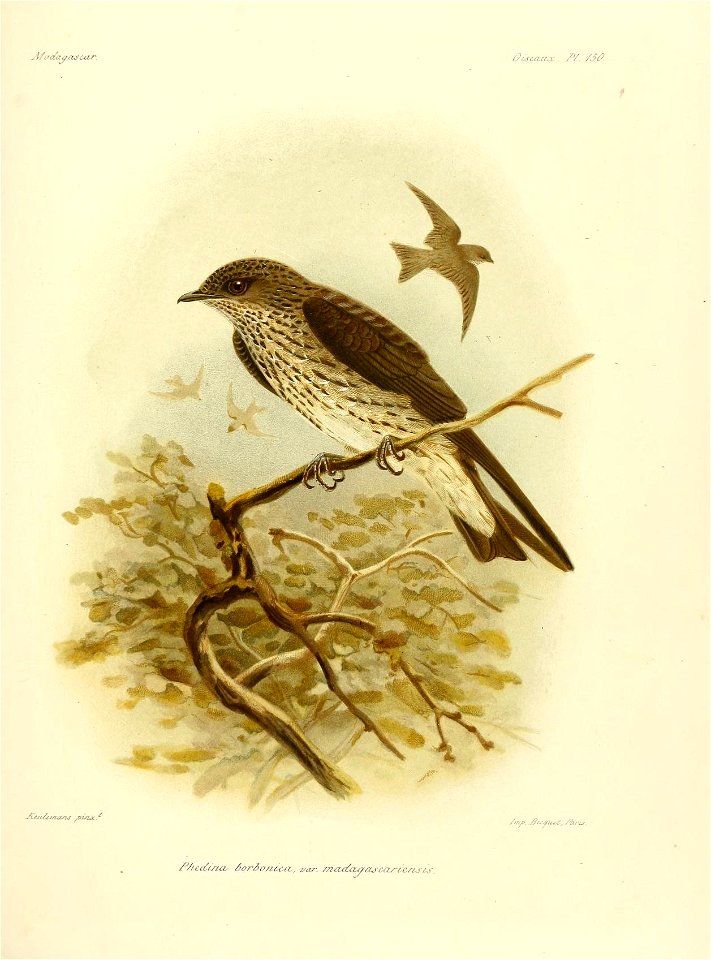
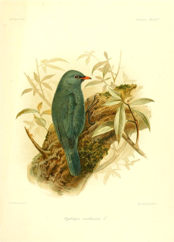
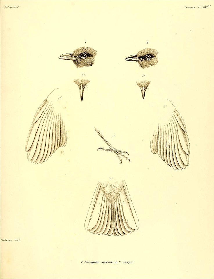
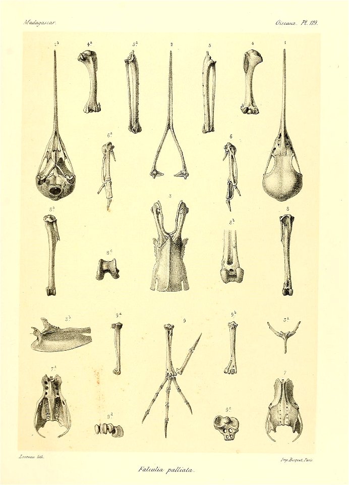
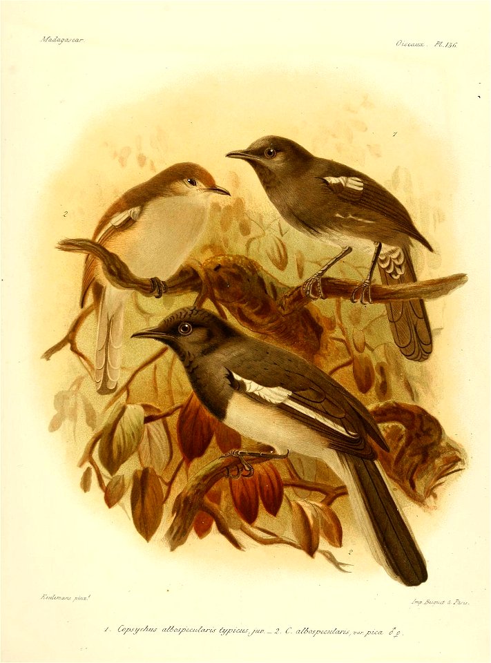
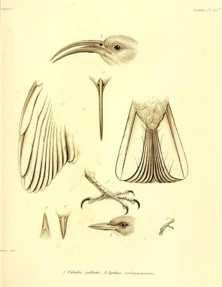
птици
мадагаскар
масачузетс
пътуване
география
карта на света
черно и бяло
европа
европа
масачузетс
масачузетс
масачузетс
масачузетс
масачузетс
масачузетс
масачузетс
масачузетс
винтидж
карти
масачузетс
масачузетс
аксесоар
бокс
бинокъл
лупа
орнаменти
карти
пътуване
карти
пътуване
карти
пътуване
карти
пътуване
карти
библиотека
карти
карта на света
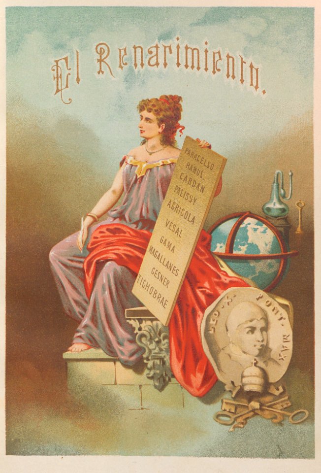
възраждане
птици
карти
птици
карти
птици
карти
птици
карти
птици
карти
птици
карти
птици
карти
птици
карти
птици
карти
птици
карти
птици
карти
птици
карти
птици
карти
птици
карти
птици
карти
птици
карти
птици
карти
птици
карти
птици
карти
птици
карти
птици
карти
птици
карти
птици
карти
птици
карти
птици
карти
птици
карти
птици
карти
птици
карти
птици
карти
птици
карти
птици
карти
птици
карти
птици
карти
птици
карти
птици
карти
птици
карти
птици
карти
птици
карти
птици
карти
птици
карти
птици
карти
птици
карти
птици
карти
птици
карти
птици
карти
птици
карти
птици
карти
птици
карти
птици
карти
птици
карти
птици
карти
птици
карти
птици
карти
птици
карти
птици
карти
птици
карти
птици
карти
птици
карти
1 - 100 z celkového počtu 189
Следваща страница
/ 2