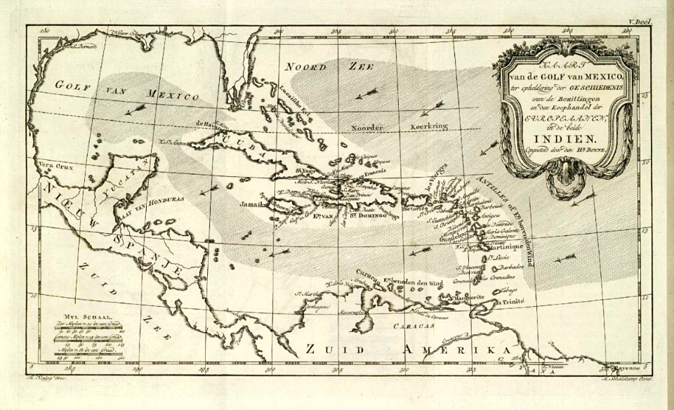
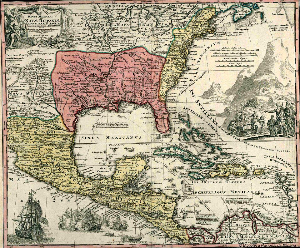
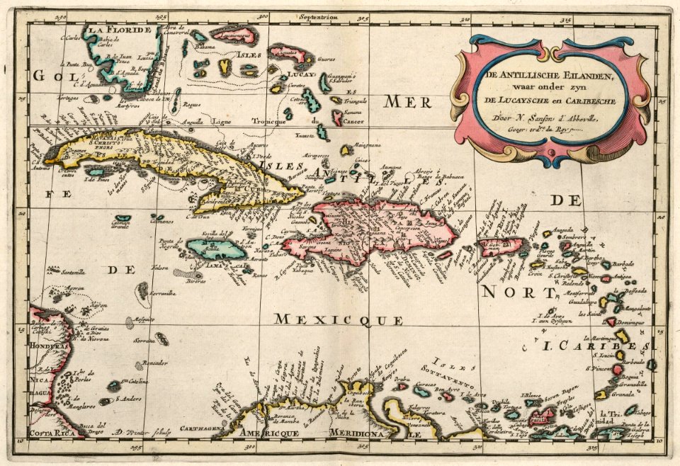
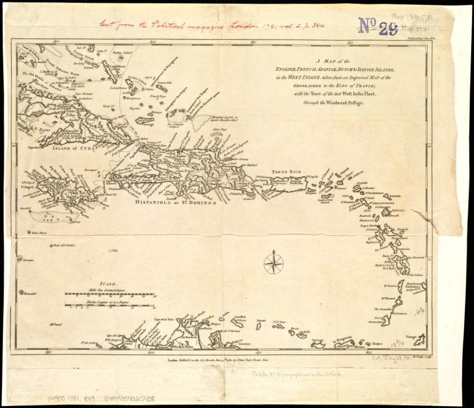
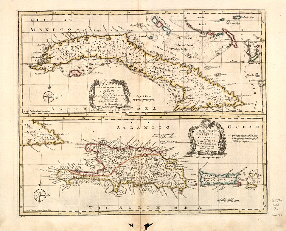
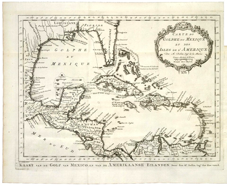
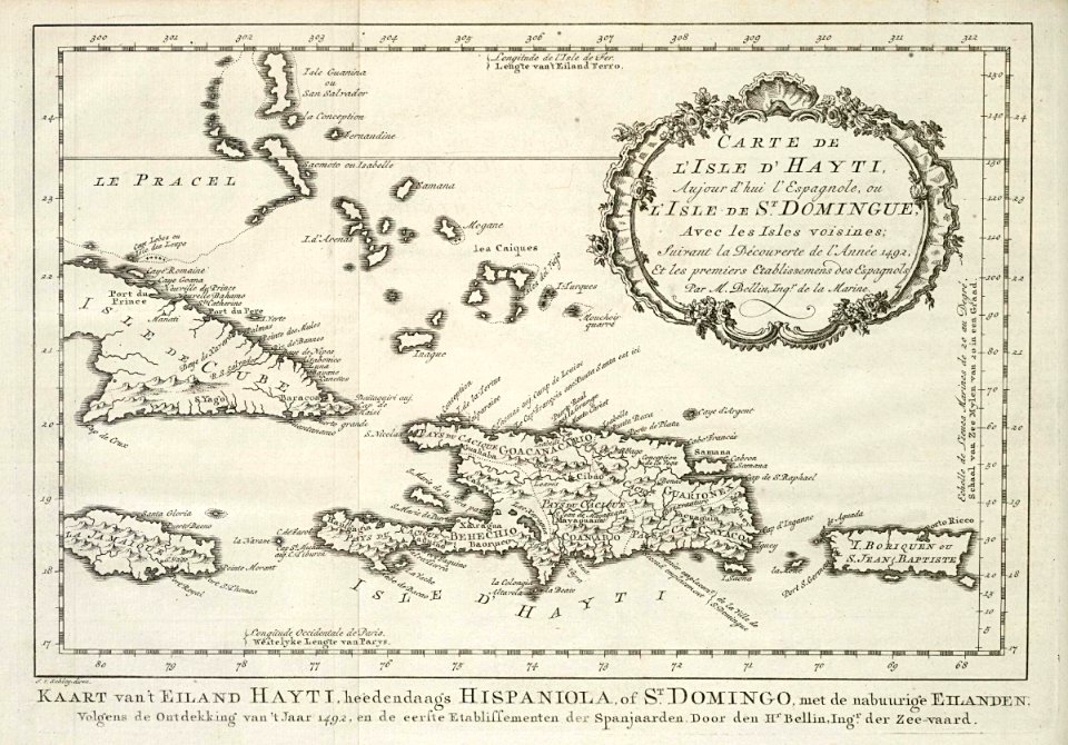
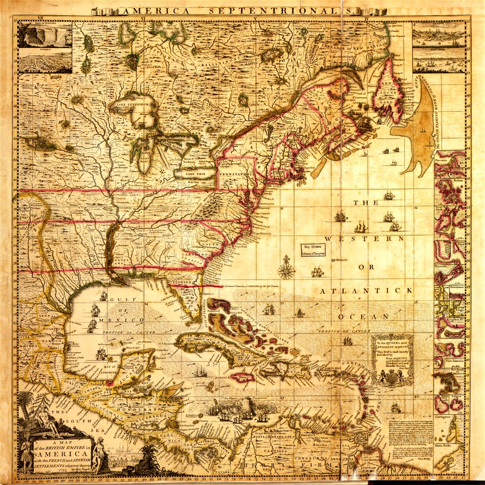
12 Свободни изкуства за 18th Century Maps Of The Caribbean

AMH-7920-KB Map of the Caribbean
Mapa Caribe 1720
AMH-6680-KB Map of the Caribbean
A map of the English, French, Spanish, Dutch, and Danish Islands, in the West Indies, taken from an improved map of the geographer to the King of France, with the tract of the last West India Fleet, (4587172518)
A new & accurate map of the island of Cuba. A new & accurate map of the islands of Hispaniola or St. Domingo and Porto Rico. LOC 74693277
AMH-8039-KB Map of the Gulf of Mexico
AMH-8040-KB Map of Haiti and surrounding islands
A map of the British Empire in America with the French and Spanish settlements adjacent thereto LOC 2009582407-2
Rigobert-Bonne-Atlas-de-toutes-les-parties-connues-du-globe-terrestre MG 0009
Rigobert-Bonne-Atlas-de-toutes-les-parties-connues-du-globe-terrestre MG 0019
1 - 12 z celkového počtu 12
/ 1