Влезте
Всички ресурси
Създаване на дизайн
104 Свободни изкуства за Ancient Map
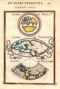
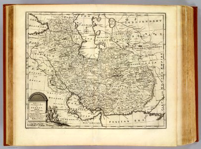
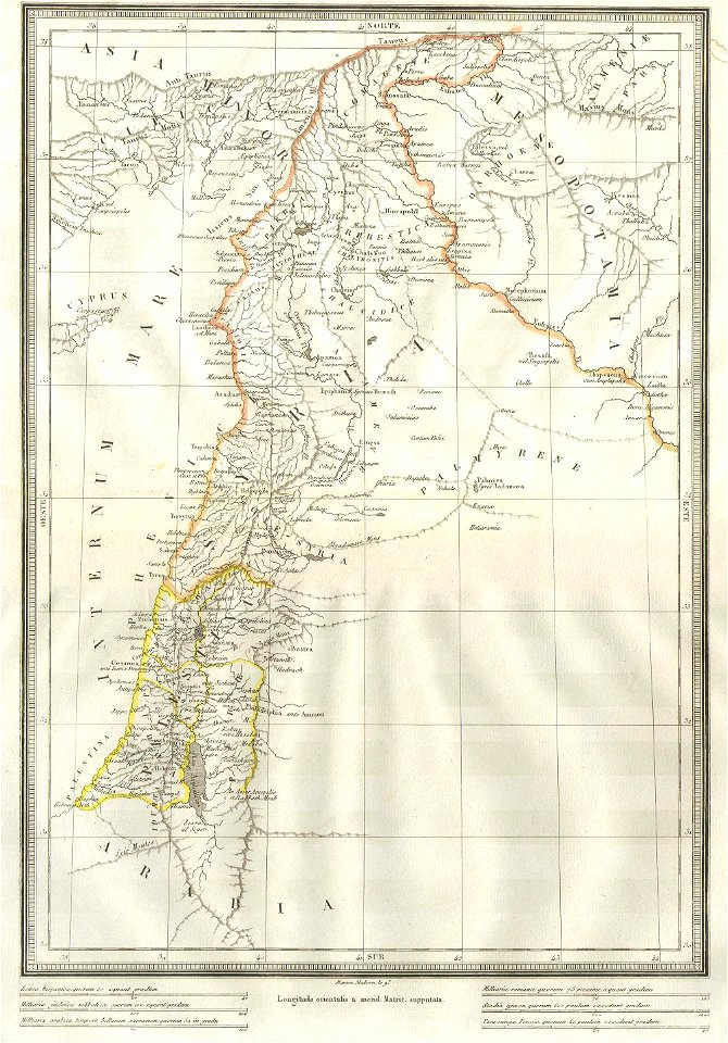
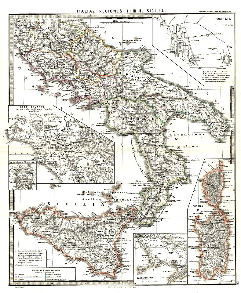
карти
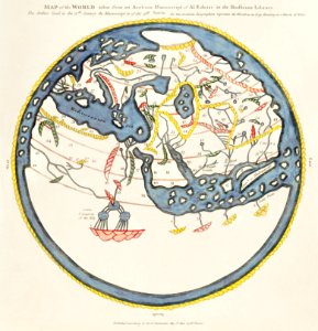
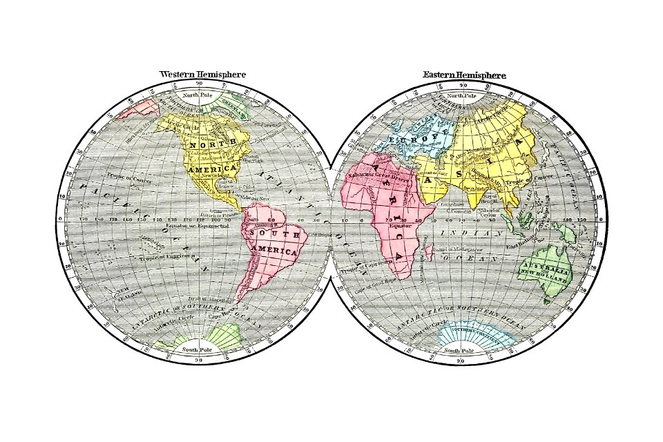
карта на света
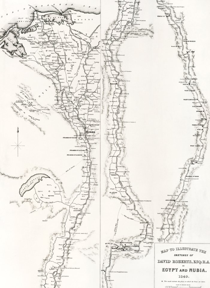
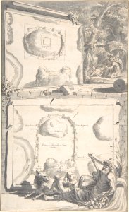
египет
постер
винтидж
молив
илюстрация
карти
египет
карти
египет
карти
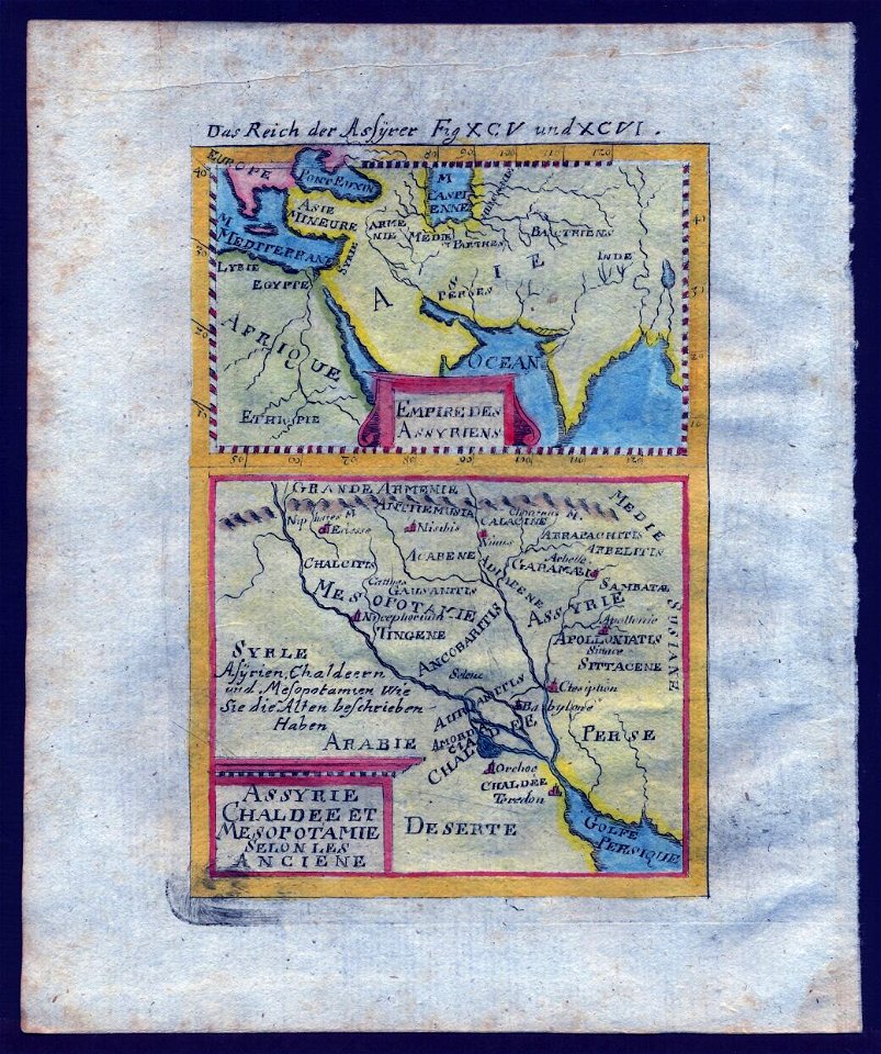
древен египет
египет
африка
карти
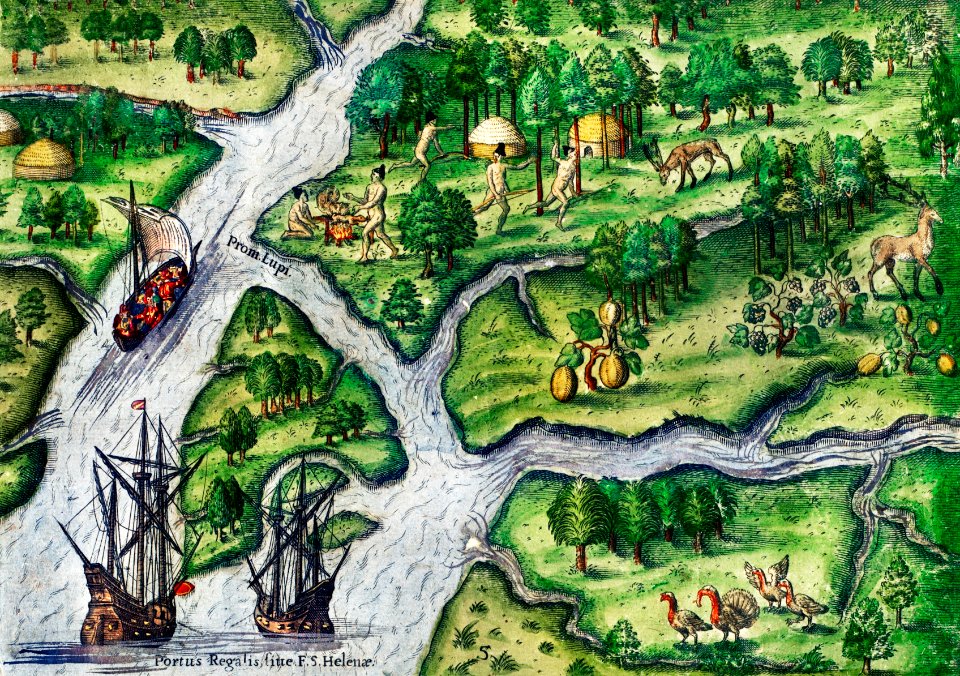
средновековие
карти
калкулатор
молив
1 - 100 z celkového počtu 104
Следваща страница
/ 2