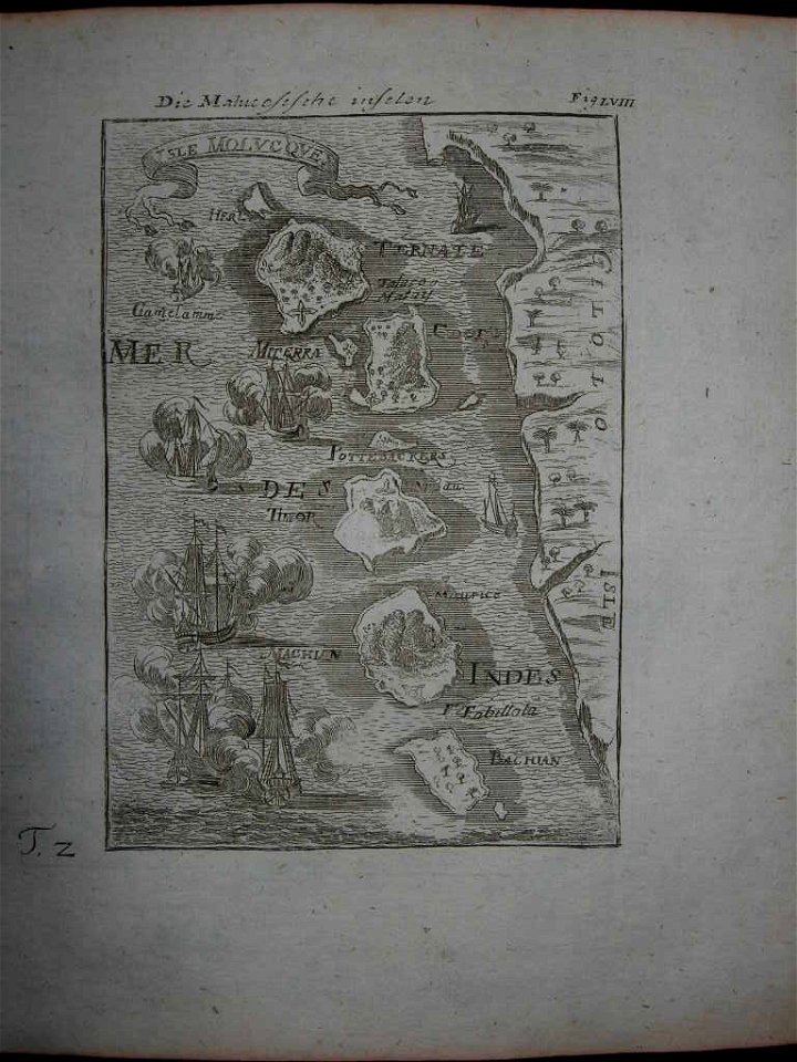
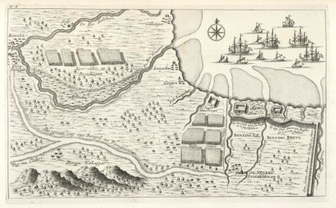
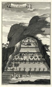
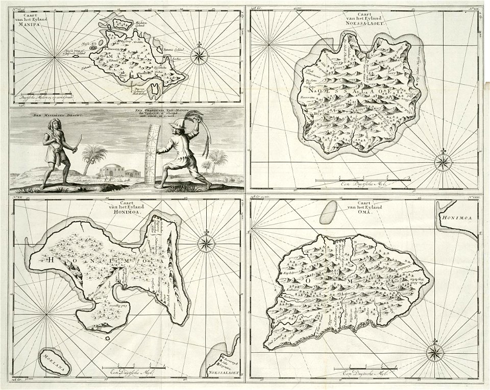
34 Свободни изкуства за Indonesia In The 18th Century

AMH-7042-KB Map of the artisan's quarter in Batavia
AMH-6874-KB View of Ternate
AMH-7111-KB View of the city of Ternate
AMH-6702-NA Map of the Banda islands
AMH-7991-KB View of Ternate
104 Vue de Batavia XVIIIème siècle Auteur anonyme
AMH-6904-KB Procession on Ternate
AMH-7040-KB Map of Fort Noordwijk
AMH-7990-KB Map of the Moluccas
AMH-6667-KB Map of the Moluccas
AMH-7994-KB Map of the island of Ambon
AMH-7997-KB Map of the Banda islands
AMH-7048-KB Map of the fort of Jacatra near Batavia
AMH-8028-KB Floor plan of Fort Rotterdam at Makassar
AMH-7242-KB Map showing the road between Samarang and Cartasoera
AMH-7219-KB Map of the southeastern part of the Banda islands
AMH-7205-KB The king of Ternate in council
Woman's cerimonial skirt, Tanimbar Islands, Indonesia, 18th century, cotton with warp ikat, Honolulu Academy of Arts
AMH-8027-KB Map of Celebes
Map of the Moluccas, 1718
AMH-7243-KB Bird's eye view of the region around Passarouan
AMH-7239-KB Grave of Sheikh Ibn Moelana
AMH-7218-KB Maps of the islands of Manipa, Noesa Laut, Oma en Honimoa and a depiction of Manipese fencers
AMH-7993-KB Map of Ceram, Ambon and the Banda islands
AMH-7929-KB Map of Celebes, the Moluccas and the Philippines
AMH-7039-KB View of Noordwijk Fort
AMH-7110-KB View of the city and the fort of Macassar
AMH-7049-KB Map of the Meester Cornelis trading post
1760 Bellin Map of the Moluques - Moluccas - Moluccan Island - Geographicus - Moluques2-bellin-1760
AMH-7020-KB View of the Gelderland bastion, a bastion of Batavia castle
The Watering Place at Anjer Point in the Island of Java RMG BHC1842
AMH-7229-KB Map of Fort Rotterdam on Macassar and a Macassar couple
Rigobert-Bonne-Atlas-de-toutes-les-parties-connues-du-globe-terrestre MG 9995
1706 de la Feuille Map of Asia - Geographicus - Asia-lafeuille-1706
1 - 34 z celkového počtu 34
/ 1