Влезте
Всички ресурси
Създаване на дизайн
642 Свободни изкуства за Maps In Art
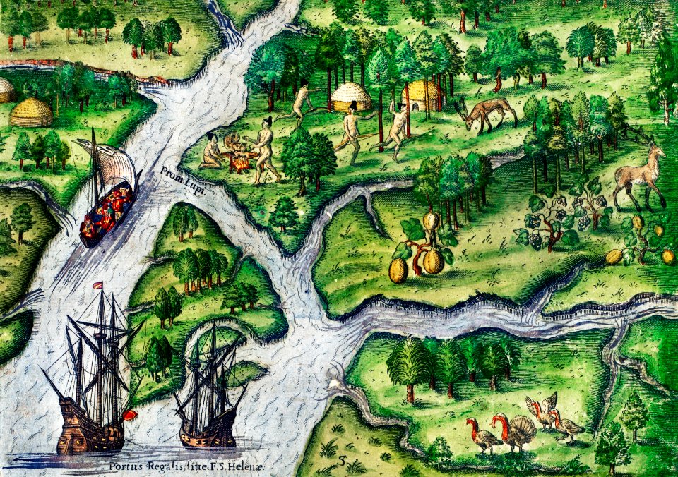
карти
карта на света
постер
винтидж
антика
атлас
илюстрация
свят
земя
обществено достояние
антика
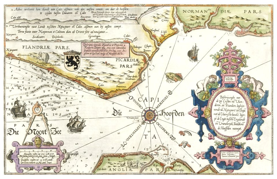
карти
глобус
карти
антика
карти
илюстрация
карти
карти
печат
география
карти
винтидж
карти
карти
земя
глобус
карти
африка
карти
илинойс
изкуство
карти
испания
илюстрация
карти
карти
земя
илюстрация
карти
илюстрация
карти
илюстрация
карти
илюстрация
карти
ландшафт
карти
илюстрация
карти
винтидж
карти
карта на света
карти
средновековие
карти
винтидж
карти
ландшафт
карти
илюстрация
карти
винтидж
карти
карти
земя
антика
карти
карти
океан
илюстрация
карти
карти
град
морско чудовище
жълтото
карти
карти
свят
карти
земя
карти
земя
антика
карти
карта на света
карти
1 - 100 z celkového počtu 642
Следваща страница
/ 7


![Bankoku Jinbutsu no Dzu [Picture of the World and its People] (1825) by Imakajiyamachi Eijudo.](https://cdn.creazilla.com/illustrations/1953419/bankoku-jinbutsu-no-dzu-picture-of-the-world-and-its-people-1825-by-imakajiyamac-sm.jpeg)