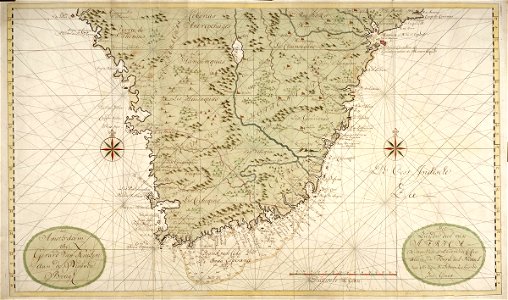
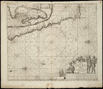
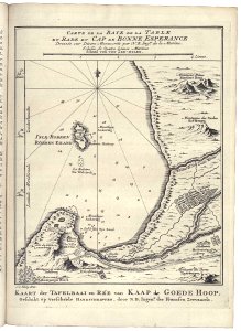
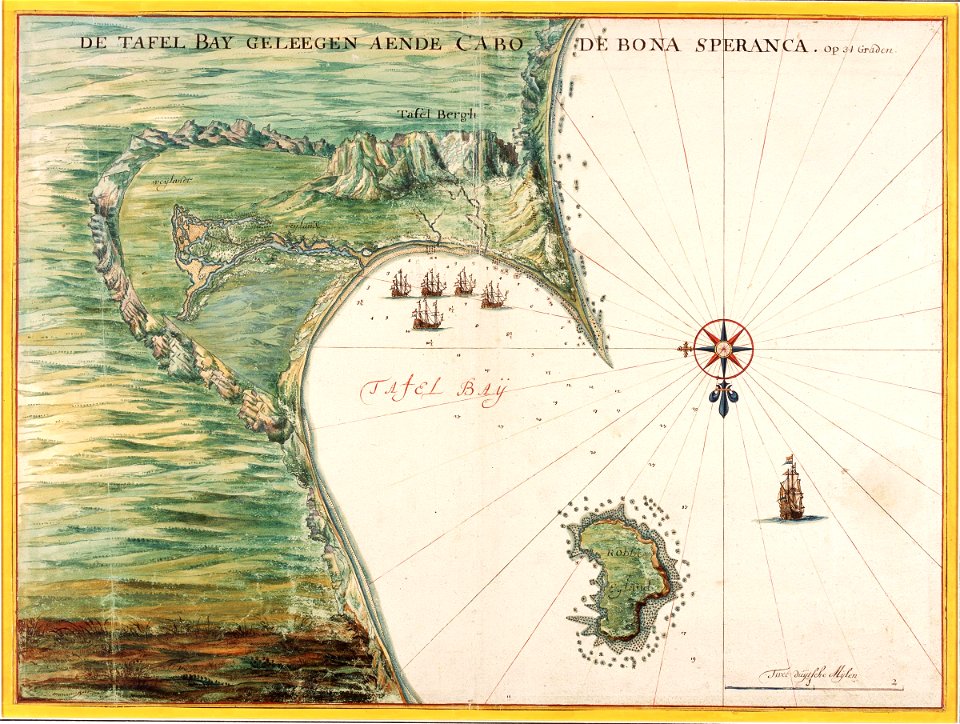
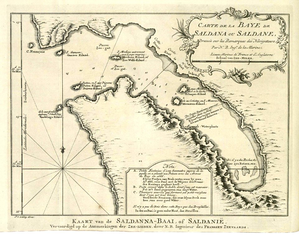
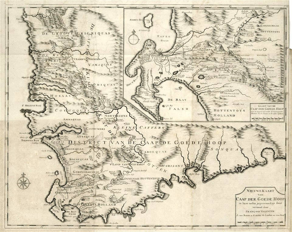
28 Свободни изкуства за Maps Of The Dutch East India Company South Africa

AMH-5622-NA Map of southern Africa and Madagascar
AMH-5653-KB Map of the southern part of the African continent
AMH-7884-KB Map of the east coast of Africa, from the Cape of Good Hope to the Cape del Gada
AMH-7883-KB Map of the west coast of Africa, from 11 degrees south latitude to the Cape of Good Hope
AMH-6407-NA Map of southern Africa
AMH-6860-KB Map of Southern Africa
AMH-5654-KB Map of South Africa and a view of Table Bay
AMH-7673-NA Map of the African coast between Cabo Negro and Cape of Good Hope
AMH-7960-KB Map of Table Bay
AMH-6143-NA Map of Table Bay
AMH-6926-KB Map of the Cape of Good Hope
AMH-8007-KB Company Gardens at the Cape of Good Hope
AMH-7959-KB Map of Saldanha Bay
AMH-7272-KB Two maps of the Cape of Good Hope
AMH-7275-KB Lay-out of the company gardens in Cape Town
AMH-6428-NA Design for a hospital at the Cape of Good Hope
AMH-6436-NA Design for a hospital on the Cape of Good Hope
AMH-6435-NA Design for a hospital on the Cape of Good Hope
AMH-6434-NA Design for a hospital on the Cape of Good Hope
AMH-7926-KB View of Table Bay featuring a map of the bay and the fort
AMH-7902-KB Map of the South African coast, from the bay of St. Helena to Mossel Bay
AMH-7273-KB Bird's eye view of the Cape of Good Hope
AMH-6610-KB Map of the Cape of Good Hope, with an inset showing the bay of Augusto de Santa Bras on Madagascar and a view of the Cape of Good Hope
AMH-6409-NA Map of the Cape of Good Hope to Lagoa Bay
AMH-7958-KB Map of the Cape of Good Hope
AMH-7271-KB Map of the south African coast from Saldanha Bay up to and including the Cape of Good Hope and False Bay
AMH-5625-NA Map of Saldanha Bay, Table Bay, Hout Bay and False Bay
AMH-7961-KB Map of Cape Town and the fort De Goede Hoop (Good Hope)
1 - 28 z celkového počtu 28
/ 1