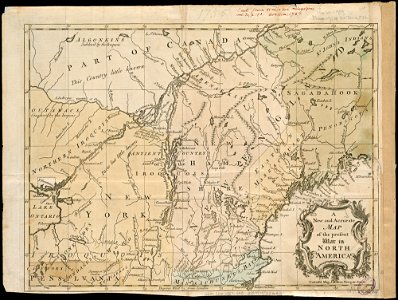
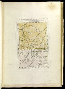
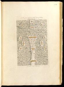
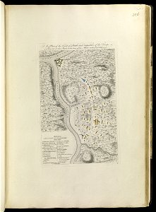
11 Свободни изкуства за Maps Of The French And Indian War

A plan of the line of march with the whole baggage (18160082048)
A plan of the encampment of the detachment from the little Meadows (18347935635)
A plan of the line of march of the detachment from the little Meadows (18347935255)
A map of the several dispositions of the English Fleet and Army on the River St. Laurence to the taking of Quebec (17724450724)
A new and accurate map of the present war in North America (4231162161)
A map of the country between Will's Creek and Monongahela River shewing the rout and encampments of the English army in 1755 (18160198140)
A plan of the disposition of the advanced party consisting of 400 men - to defend the workers in making the road (17725317444)
A prospective view of the battle fought near Lake George, on the 8th of Sepr. 1755, between 2000 English, with 250 Mohawks, under the command of Genl. Johnson - and 2500 French and Indians under the (18321498766)
A plan of the field of battle and disposition of the troops, as they were on the march at the time of the attack on the 9th of July, 1755 (17725318244)
A plan of the town and Fort of Carillon at Ticonderoga - with the attack made by the British army commanded by Genl. Abercrombie, 8 July 1758 (18160080538)
1755 Bellin Map of the Great Lakes - Geographicus - GreatLakes-bellin-1755
1 - 11 z celkového počtu 11
/ 1