Влезте
Всички ресурси
Създаване на дизайн
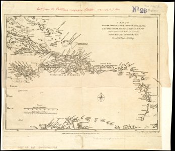
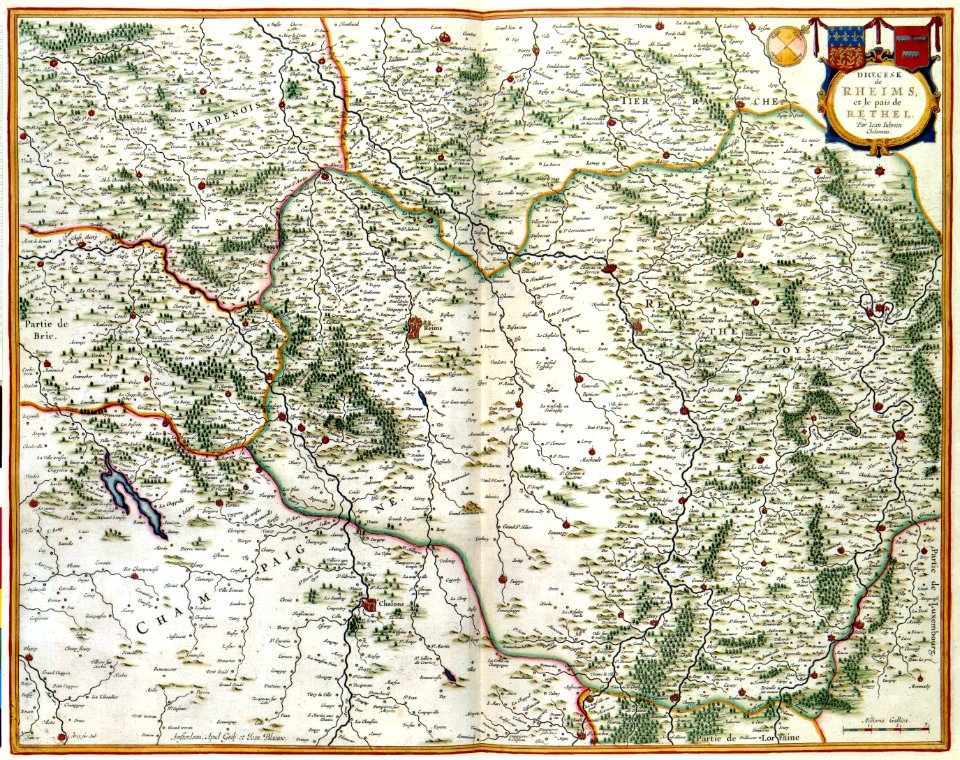
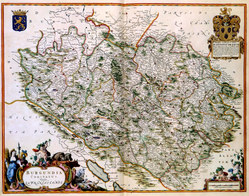
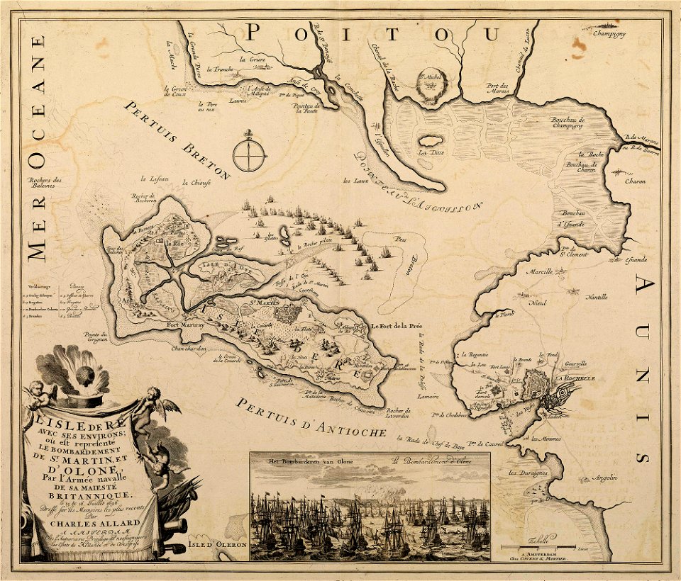
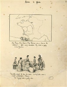
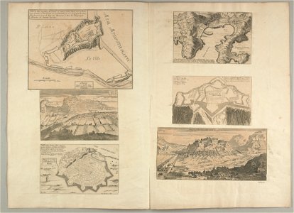
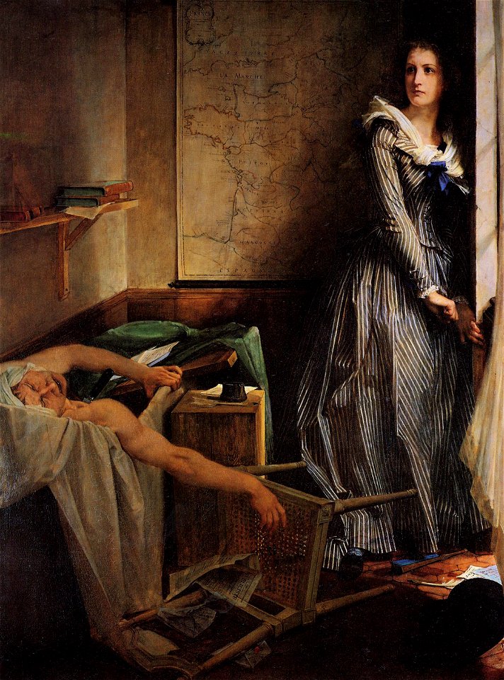
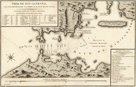
32 Свободни изкуства за Maps Of The History Of France
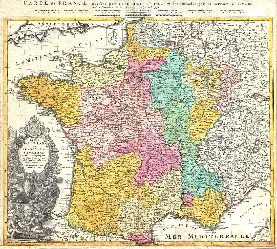
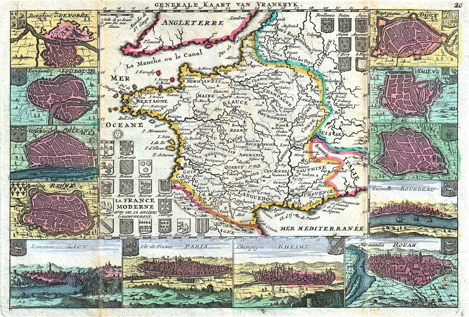
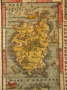
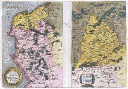
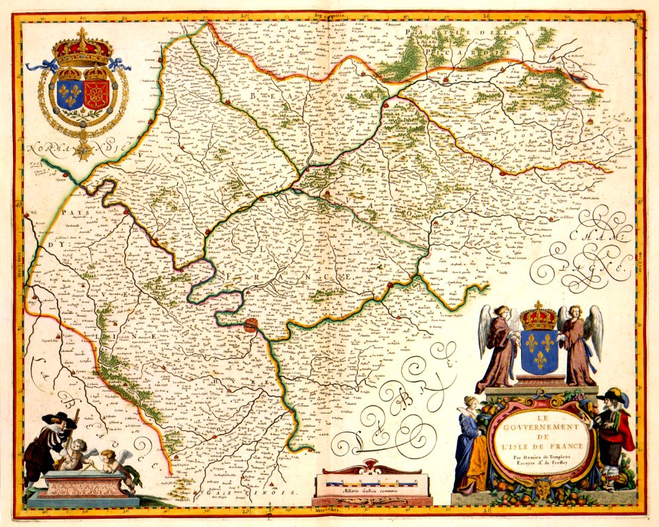
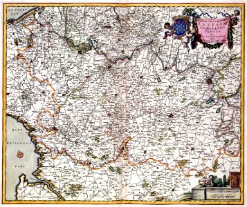
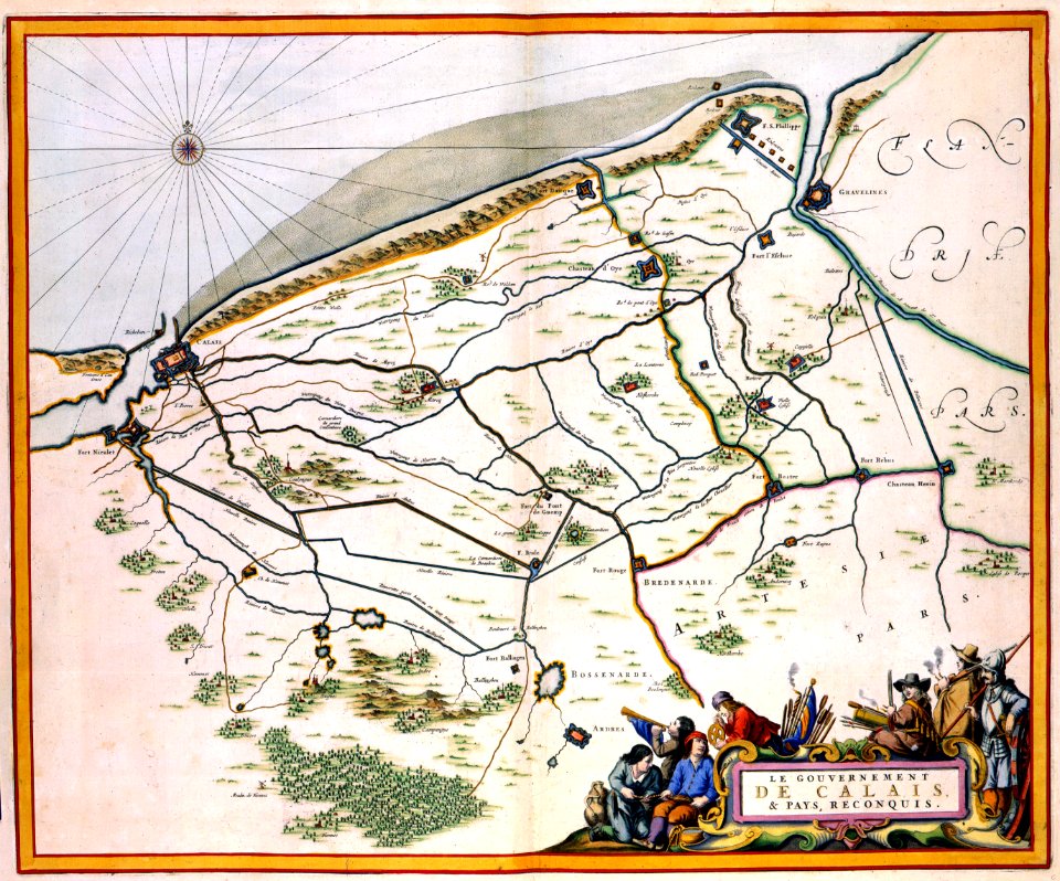
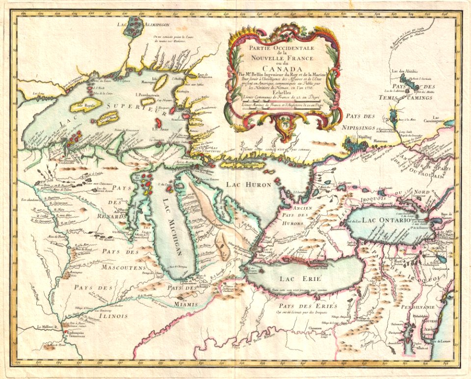
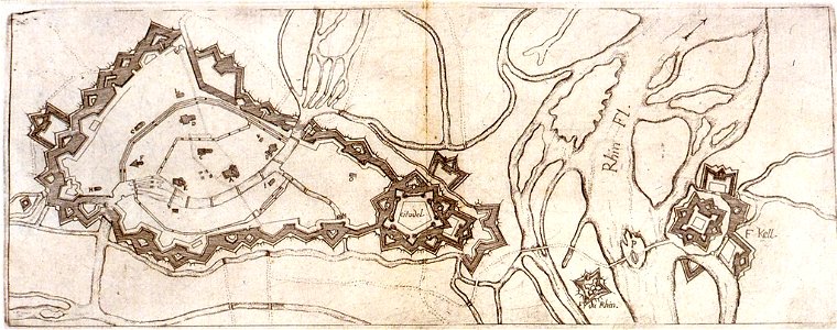
карти
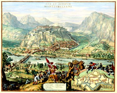
илюстрация
карти
1 - 32 z celkového počtu 32
/ 1