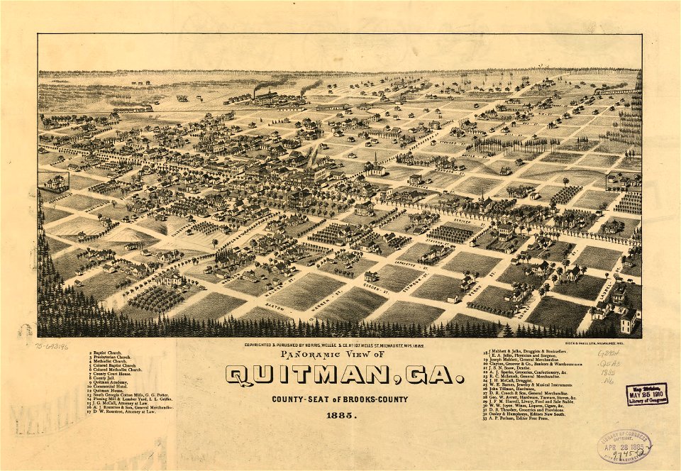
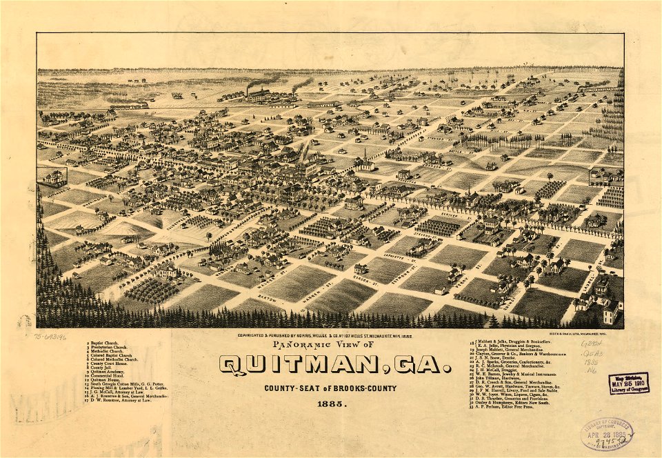
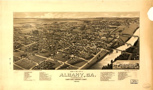
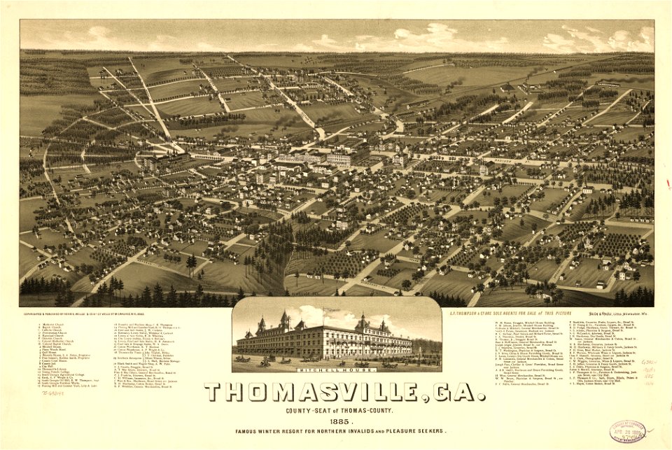
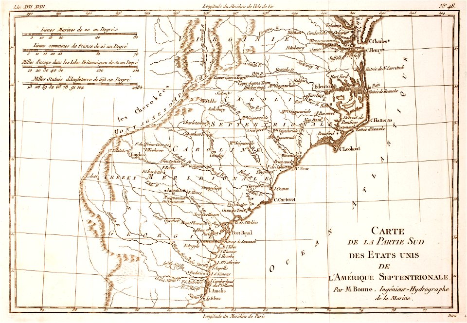
15 Свободни изкуства за Old Maps Of Georgia (u.S. State)

Birds eye view of Ocilla, Georgia 1908. LOC 75693195
Bird's eye view of Fitzgerald, Georgia 1908. LOC 75693192
Panoramic view of Valdosta, Ga. - county seat of Lowndes County. LOC 77690251
Panoramic view of Quitman, Ga. county-seat of Brooks-County 1885. LOC 75693196
J. H. Colton's topographical map of North and South Carolina. A large portion of Georgia & part of adjoining states. Entered according to Act of Congress in the year 1861 by J.H. Colton. LOC 99447015
View of the city of Albany, Ga. (the Artesian City) county-seat of Dougherty-County. 1885. LOC 75693188
Thomasville, Ga. county-seat of Thomas-County 1885. Famous winter resort for northern invalids and pleasure seekers. LOC 75693198
Rigobert-Bonne-Atlas-de-toutes-les-parties-connues-du-globe-terrestre MG 0030
1 - 15 z celkového počtu 15
/ 1