Влезте
Всички ресурси
Създаване на дизайн
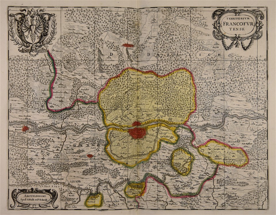
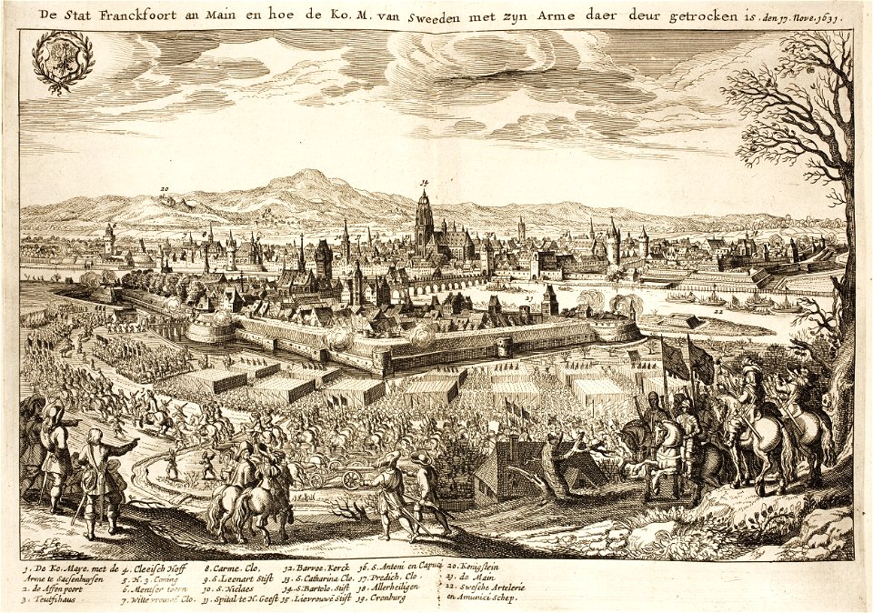
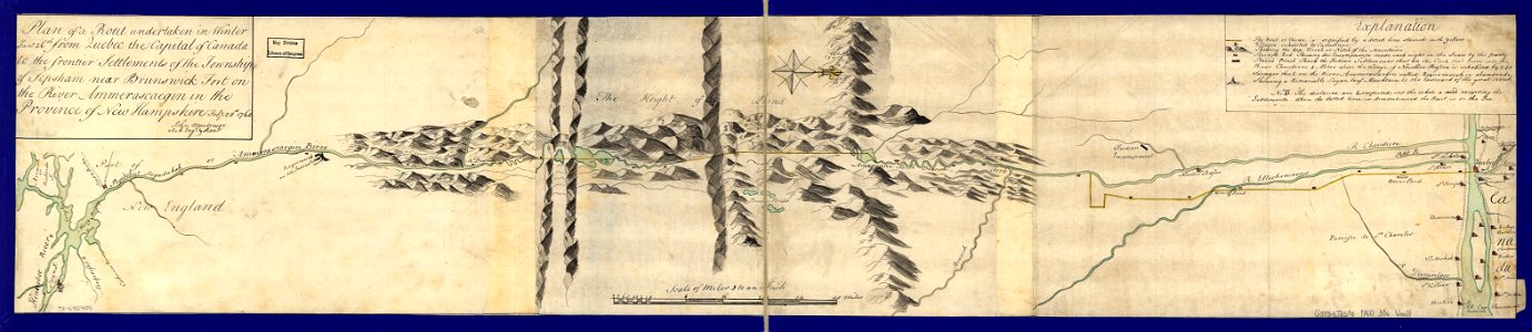
36 Свободни изкуства за Old Maps Of Maine
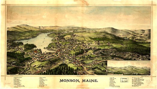
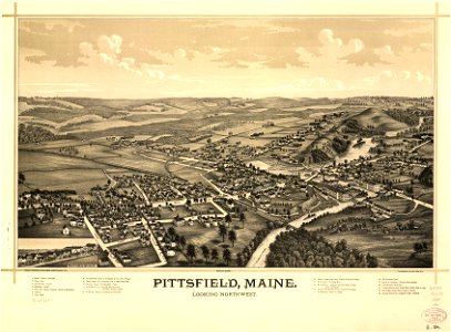
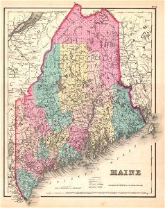
мейн
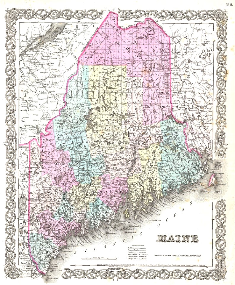
мейн
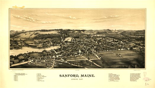
мейн
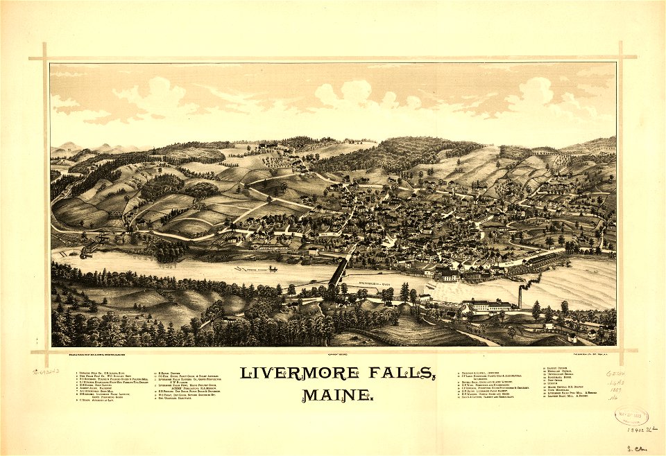
мейн
1 - 36 z celkového počtu 36
/ 1