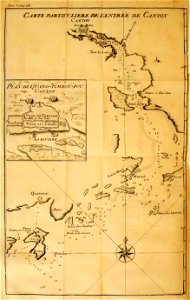
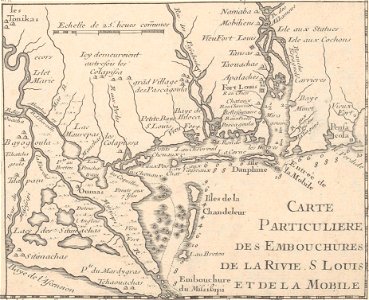
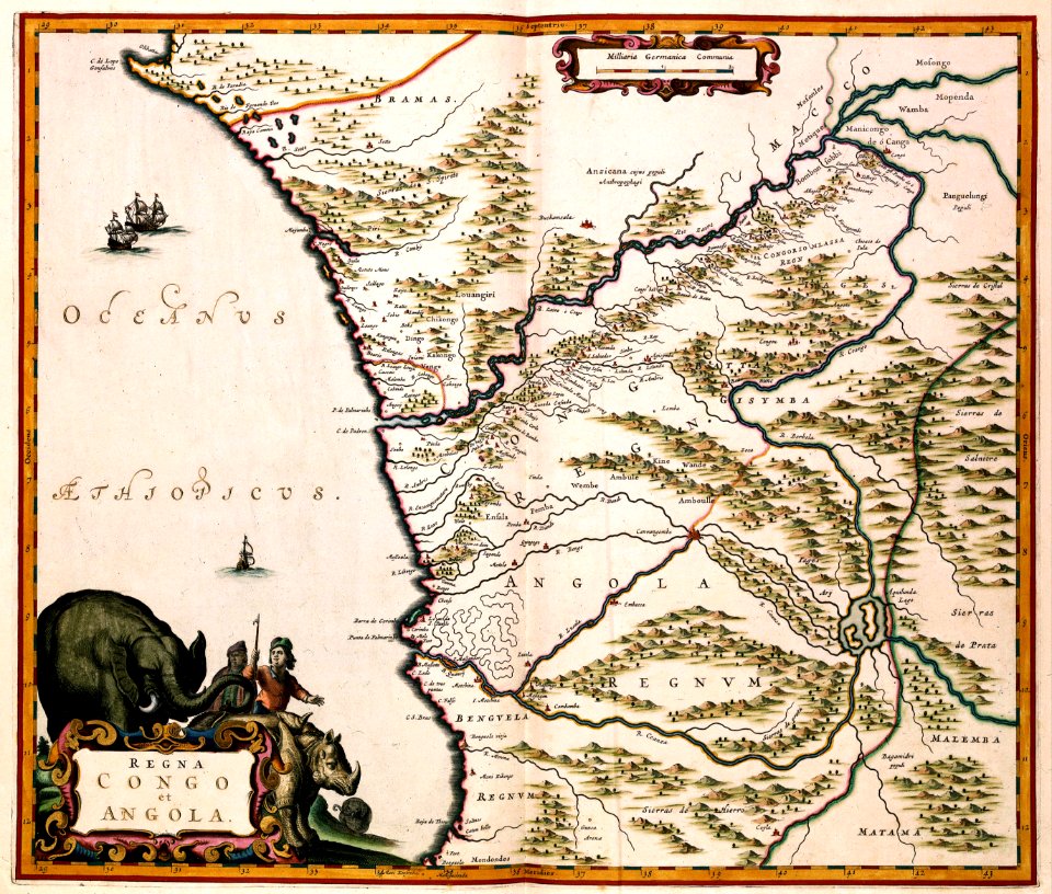
67 Свободни изкуства за Old Maps Of Rivers
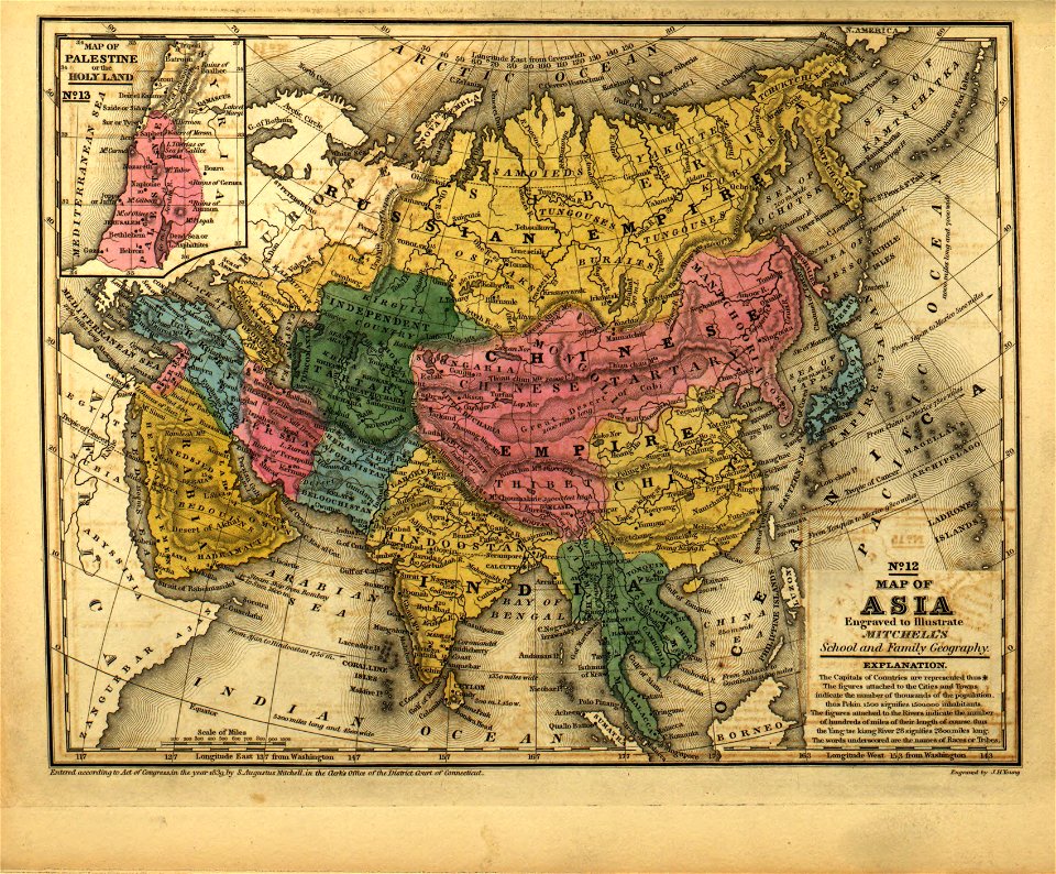
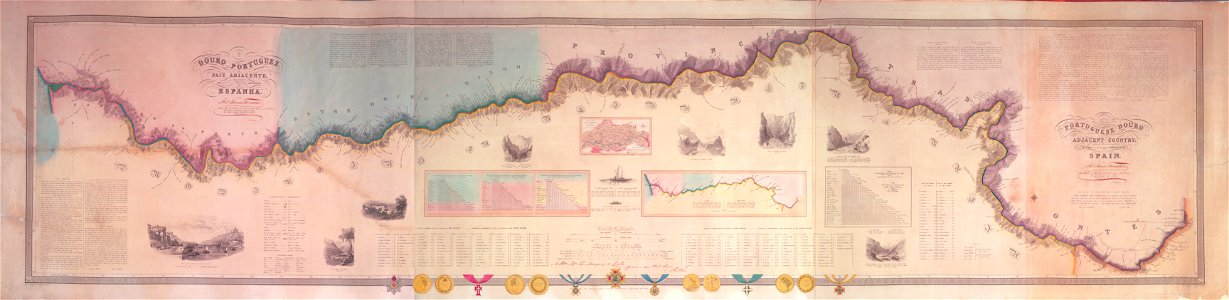
Mitchell's school atlas LOC 2007633727-13
Map of Asia, Mitchell's School Atlas LOC 2007633727-13 (cropped)
Map of (Thibet) with Lhasa (Lassa) capitol and India (Hindoostan) with Calcutta capitol in 1839 from Mitchell's School Atlas LOC 2007633727-13 (cropped)
Douro river map Forrester
Atlante Veneto Volume 1 130
AMH-7965-KB Map of the mouth of the Canton River
AMH-7965-KB Map of the mouth of the Canton River (cropped)
Map of Volga River (1600)
AMH-8009-KB Map of the Menam River, with Bangkok and Ayuthaya
A map of the sources of the Chaudière, Penobscot, and Kennebec rivers, LOC 74692578
1855 Colton Map or Chart of the World's Mountains and Rivers - Geographicus - MtsRvrs2-colton-1855
AMH-6913-KB Map of the rivers of Corentyn, Copename and Sarameca
AMH-6793-NA Map of the mouth of the Pousioucq River
AMH-6786-NA Map of the mouth of the Paraiba River
AMH-8057-KB Map of a part of the rivers of Berbice and Canjé
AMH-7231-KB Map of the river of Siam
AMH-8004-KB Map of the course of the river Tonquin
West Lebanon, N.H., and White River Junction, Vermont. LOC 75694703
Rigobert-Bonne-Atlas-de-toutes-les-parties-connues-du-globe-terrestre MG 9992
Abraham Ortelius. Palestinae Sive Totius Terrae Promissionis Nova Descriptio Auctore Tilemanno Stella Sigenens. 1572
Lambert-van-den-Bos-Lieuwe-van-Aitzema-Historien-onses-tyds MGG 0404
Rivier Pomeroon 1688
Plan de la Riviere de Seine dans Paris, 1760
AMH-8071-KB Map of the Gold Coast from Cape Apollonia to the Volta River
Stanley's Lake Tanganyika
Statement-on-the-part-of-the-United-States-Convention-29th-September-1827 MG 9398
Victoria Nyanza
Le Tour du monde-01-p100
Engraved map of Chichester from John Speed's 1610 map of Sussex
1857 Colton Map of Quebec and New Brunswick, Canada - Geographicus - CanadaEast-colton-1857
Atlas Van der Hagen - Reino de Benguela
Plan de la Riviere de Seine dans Paris, 1760 - Norman B. Leventhal Map Center
1855 Colton Map of Canada East or Quebec - Geographicus - Quebec-colton-1855
1854 Colton Map of Quebec, Montreal and New Brunswick, Canada - Geographicus - LowerCanada-colton-1855
Statement-on-the-part-of-the-United-States-Convention-29th-September-1827 MG 9397
1750 Bellin Map of the Senegal - Geographicus - Senegal-bellin-1750
Stadtplan Torun Matthäus Merian
Hydrographia Germaniae - CBT 5873266
Stich Linthebene 1811
Amazonaskarte Bry 1599
Du Halde - Description de la Chine - Carte de l entree de Canton
Terre d'Alez
Atlas Van der Hagen-KW1049B13 067-REGNA CONGO et ANGOLA
1757 Bellin Map of South Africa and the Cape of Good Hope - Geographicus - Hottentoten-bellin-1757
Plan of a rout undertaken in winter, Jany. 26th, from Quebec, the capital of Canada, to the frontier settlements of the Township of Topsham near Brunswick Fort on the River Ammerascaegun in the LOC 79690404
Buache - Coupe de la Ville de Paris
Bristol Castle in the time of John Earl of Mortain
PSM V13 D679 Hudson river and the old littoral plain
Харьков.наместничества карта 1792 Khark 1792
Exactissima totius Mosellae et Sarae fluvii tabula - CBT 5875506
Bristol Castle plan ancient times
Stanley's Congo
Plan of Moscow, shewing the Situation of the Kremlin & the course of the Rivers Moskva, Neghua & Yousa - Clarke Edward Daniel - 1810
PSM V13 D674 Bird eye view of new york harbor
Wenceslas Hollar - Spalding abbey (State 2)
Dankaerts-Historis-9259
1 - 67 z celkového počtu 67
/ 1