54 Свободни изкуства за Old Maps Of Spain
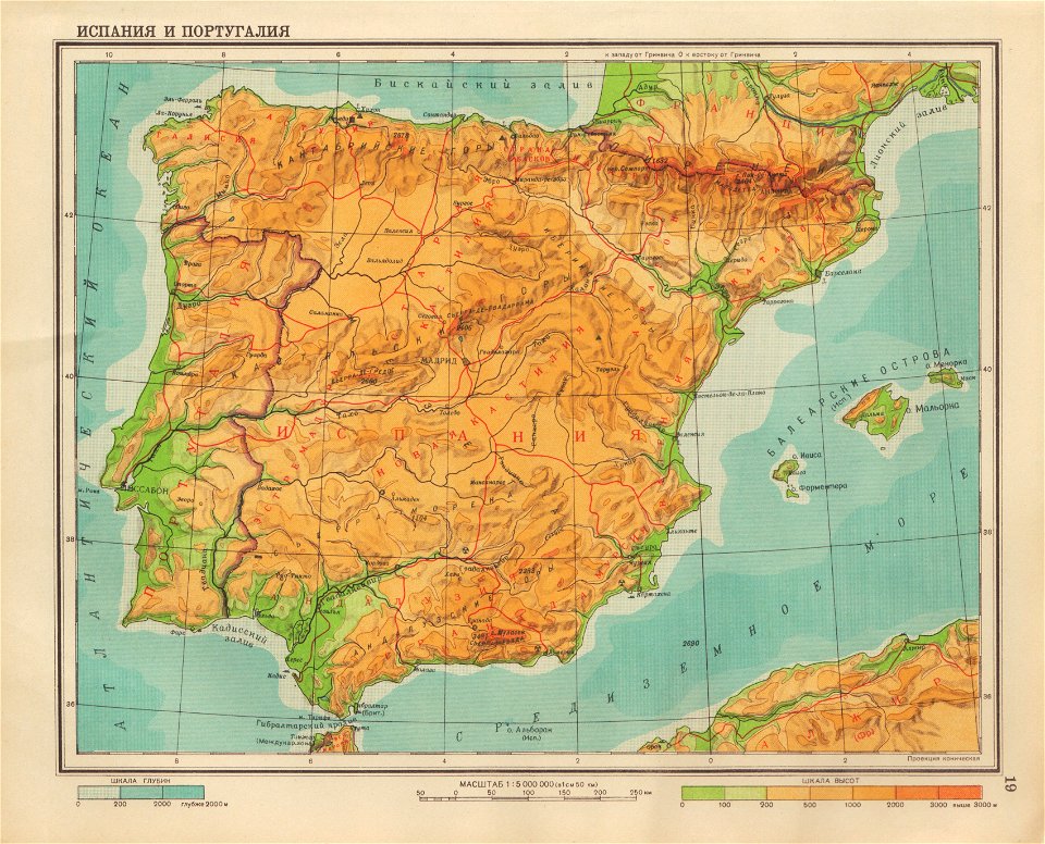
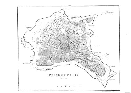
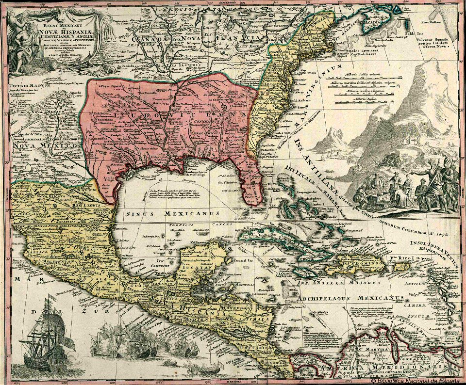
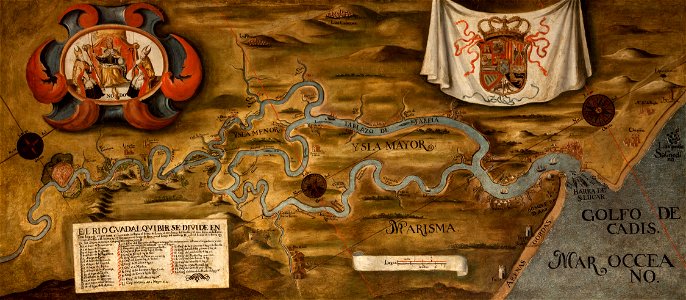
Map Of Spain, 1690, by Nicolaes Visscher (cropped detail)
Map of ancient Spain, 1683
1865 Spruner Map of Spain and Portugal - Geographicus - Hispania-spruner-1865
Mapa-Abraham-Ortelius
1815 Thomson Map of Spain and Portugal - Geographicus - Spain-t-15
Ptolemy Cosmographia 1467 -Spain and Portugal
Map Of Spain, 1690, by Nicolaes Visscher
1855 Colton Map of Spain - Geographicus - Spain-colton-1855
1747 La Feuille Map of Spain and Portugal - Geographicus - Spain-ratelband-1747
Regnorum Hispaniae et Portugalliae Mappa Geographica
1730 Homann Map of Spain and Portugal - Geographicus - Hispania-homann-1730
Sebastião Lopes 1575
Ptolemy Cosmographia 1467 - Iberian Peninsula
1747 La Feuille Map of Andalusia, Spain (Sevilla) - Geographicus - Andalusia-ratelband-1747
Rigobert-Bonne-Atlas-de-toutes-les-parties-connues-du-globe-terrestre MG 0025
Geographiae Claudii Ptolemaei Alexandrini (Münster, 1552) 34
William Faden. Composite Mediterranean. 1785.K
Spain and Portugal - Ainsworth William Francis - 1870
Atlante Veneto Volume 2 025
1747 La Feuille Map of Catalonia, Spain (Barcelona) - Geographicus - Catalogne-ratelband-1747
Havana op 't Eyland Cvba. LOC 2003623401
Carta itineraria europae 1520 waldseemueller watermarked
Gallaecia regnum - CBT 5880399
Novissima et accuratissima regnorum Hispaniae et Portugalliae tabula - CBT 5880267
Catalonia, Blaeu
Ostenda obsessa et capta
19 Испания и Португалия
Cádiz en 1812
Mapa da costa de Galiza de Samuel de Champlain (c. 1602)
Mapa Caribe 1720
El Río Guadalquivir en el siglo XVIII
1632 Cardona Descripcion Indias (157)
Granata et Murcia regna - CBT 5880848
Provincia da Coruña divida en partidos xudiciais (1865)
Plan de la Ville de Ceuta
Atlas Van der Hagen-KW1049B12 012-ARRAGONIA REGNVM
Mapa da Galiza de Œuvres de Champlain. Publiées ... par l'abbé C.-H. Laverdière ... Seconde édition (p. 141, 1870)
A PLAN of the HARBOUR of FERROL in GALICIA. Including a great part of the adjacent Country, as also of the BAY and CITY of CORRUGNA (1767-1768)
1632 Cardona Descripcion Indias (33)
Atlas Van der Hagen-KW1049B12 002-HISPANIAE ET PORTUGALIAE REGNA
1632 Cardona Descripcion Indias (133)
A PLAN of the HARBOUR of FERROL in GALICIA. Including a great part of the adjacent Country, as also of the BAY and CITY of CORRUGNA (1767-1768) - The BL King’s Topographical Collection
Paskaart Van Gallisien en Portugal Van C. de Finisterre totaen Zurara. - Johannes van Keulen, 1654-1715
1632 Cardona Descripcion Indias (137)
Rigobert-Bonne-Atlas-de-toutes-les-parties-connues-du-globe-terrestre MG 9988
Champlain - Oeuvres de Champlain publiées sous le patronage de l'Université Laval, Tome 1, 1870 - planche - 001
Sluis 1586 1
Siege of Breda 1624 - Obsidio Bredaem per Ambriosium Spinolam (anno 1624)
1632 Cardona Descripcion Indias (11)
Spain and Portugal in Europe from Court Game of Geography MET DP862886
1 - 54 z celkového počtu 54
/ 1