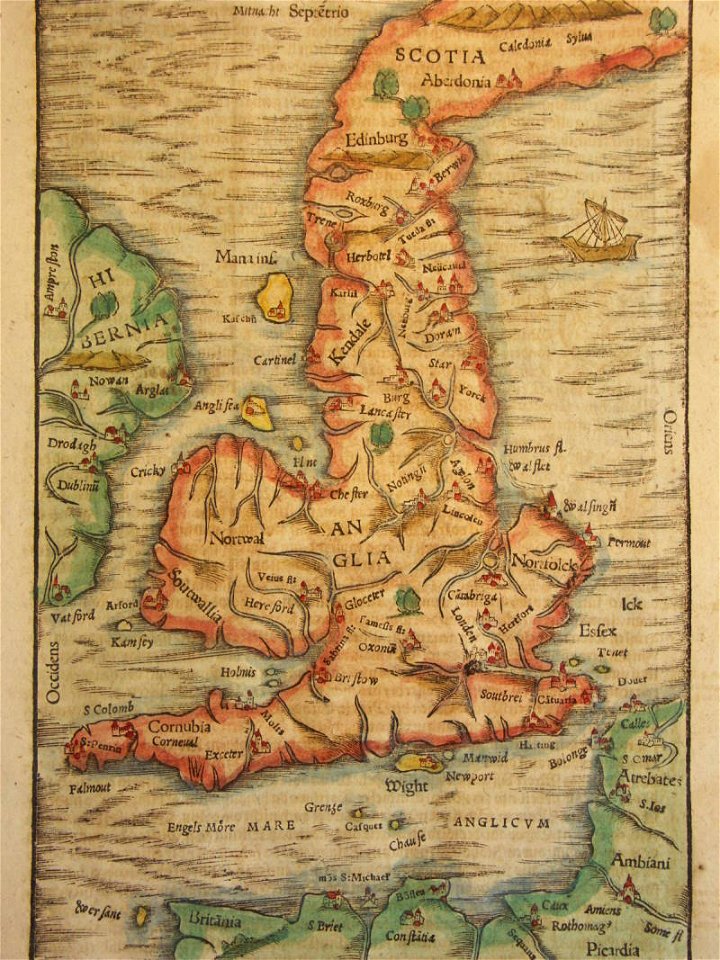
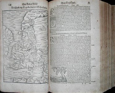
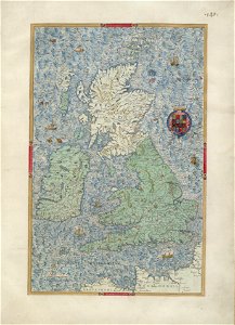
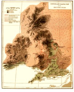
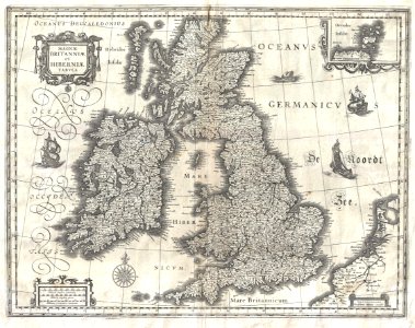
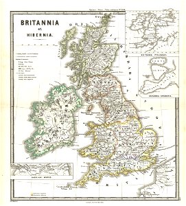
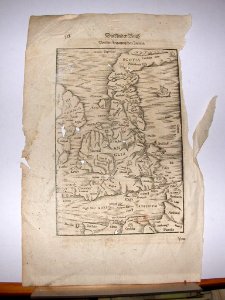
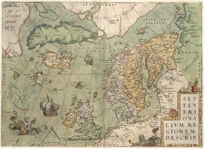
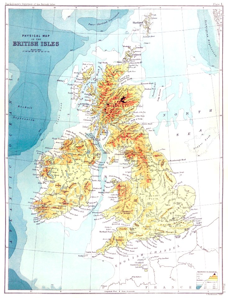
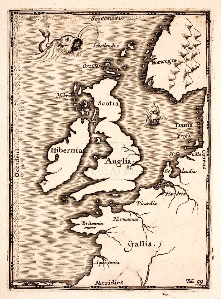
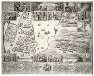
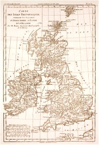
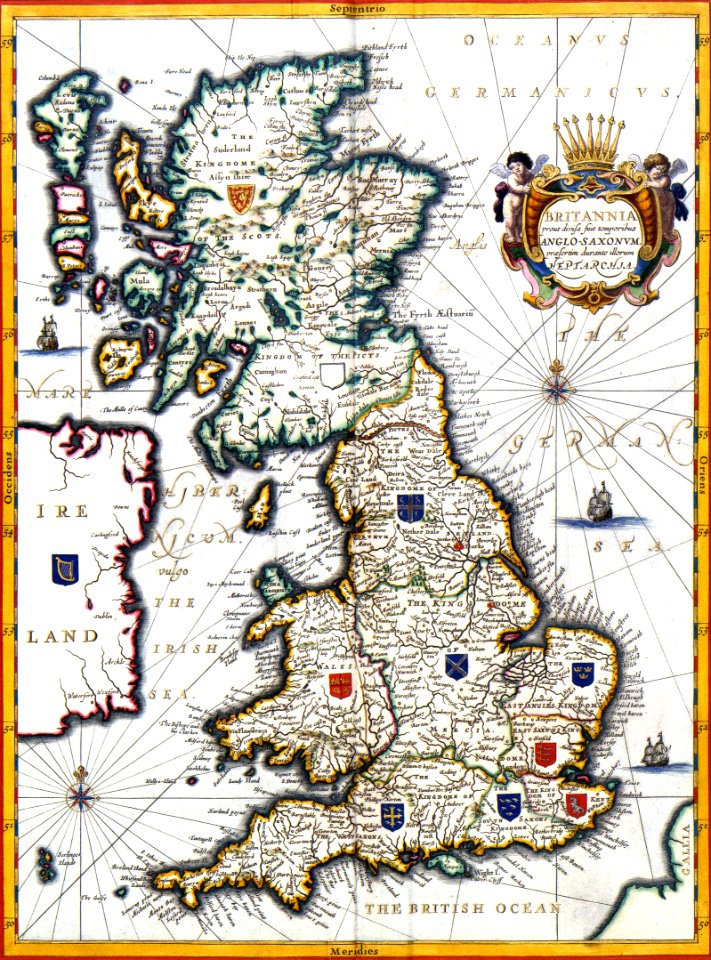
17 Свободни изкуства за Old Maps Of The British Isles

Map of the British Isles* (1600); *a closer view*
*map of the British Isles* (1600)
Map of the British Isles (1578)
Map of the British Isles. HM 160. William Bowyer. Heroica Eulogia. England, 1567
PSM V42 D182 Contour and glacial map of the british isles
1631 Blaeu Map of the British Isles (England, Scotland, Ireland) - Geographicus - BritanniaeHiberniae-blaeu-1631
1865 Spruner Map of the British Isles (England, Scotland, Ireland) - Geographicus - Britannia-spruner-1865
*map of England* (1628)
Si0050x1024
Sebastião Lopes 1575
John-Selden-Mare-clausum MG 0925
Wenceslas Hollar - Map of England and view of Prague with scenes of the beginning of the Civil War
Novissima prae caeteris aliis accuratissima Regnorum Angliae, Scotiae, Hiberniae tabula - CBT 6586443
Atlas Van der Hagen-KW1049B11 003-BRITANNIA prout divisa fuit temporibus ANGLO-SAXONUM, praesertim durante illorum HEPTARCHIA.
Rigobert-Bonne-Atlas-de-toutes-les-parties-connues-du-globe-terrestre MG 9998
Atlas Van der Hagen-KW1049B11 003-BRITANNIA prout divisa fuit temporibus ANGLO-SAXONUM, praesertim durante illorum HEPTARCHIA crop
1 - 17 z celkového počtu 17
/ 1