Влезте
Всички ресурси
Създаване на дизайн
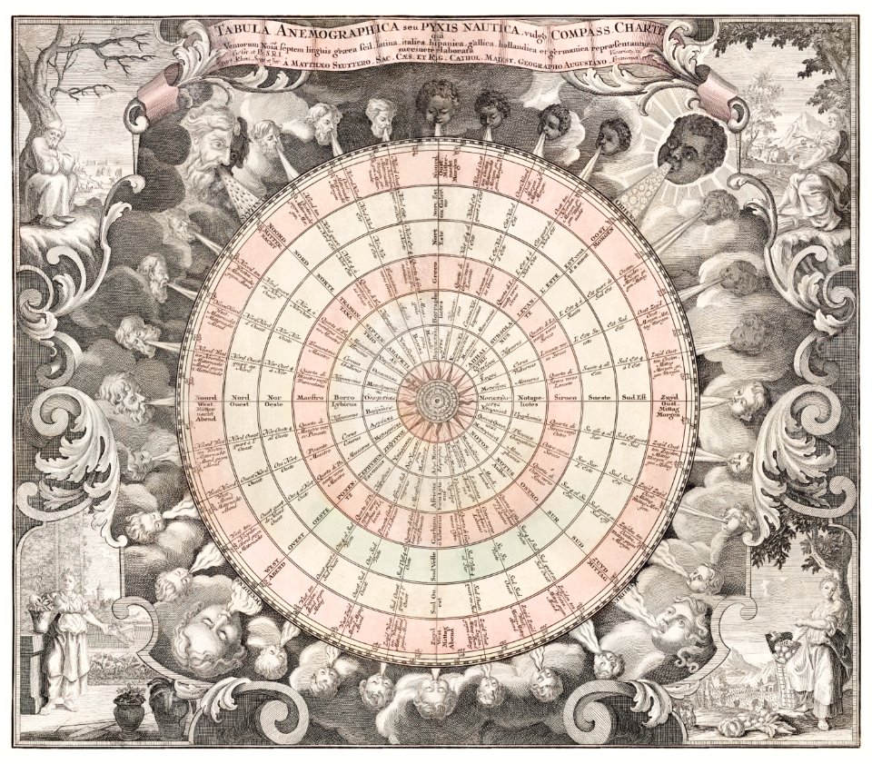
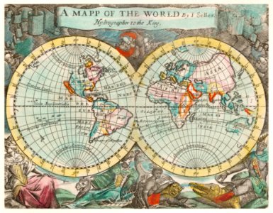
119 Свободни изкуства за Old Maps Of The World
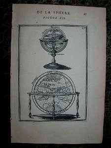
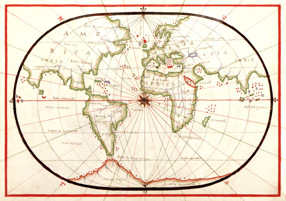
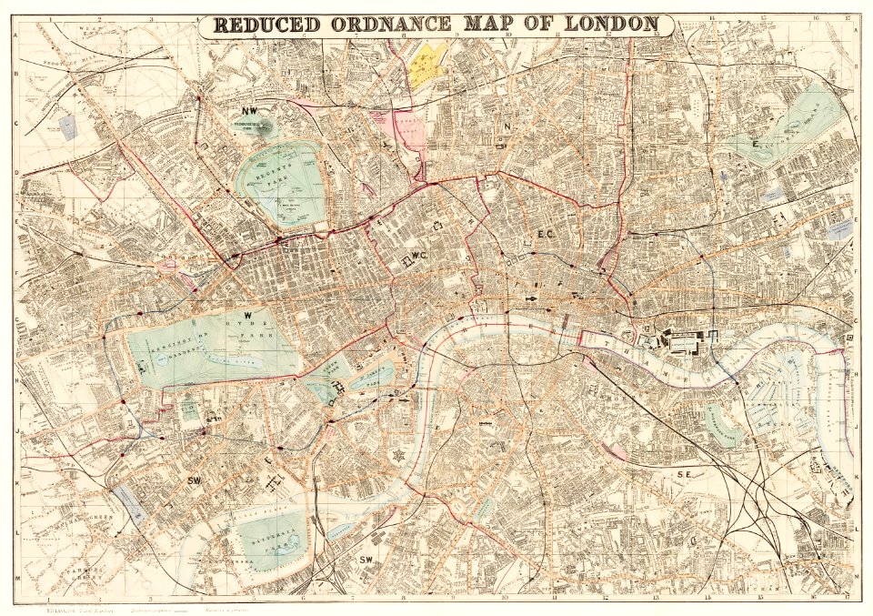
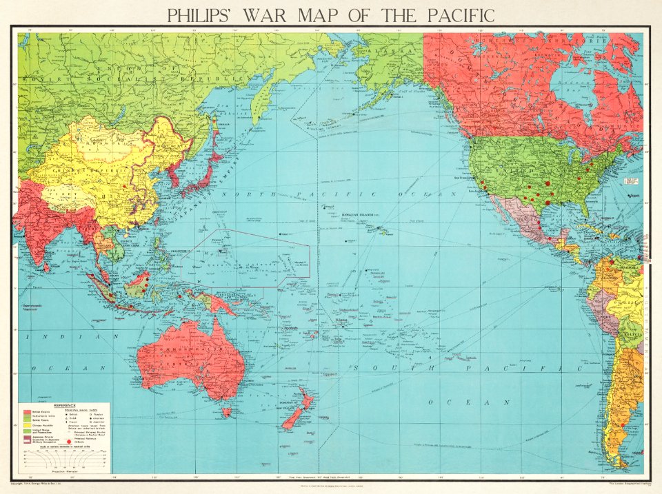
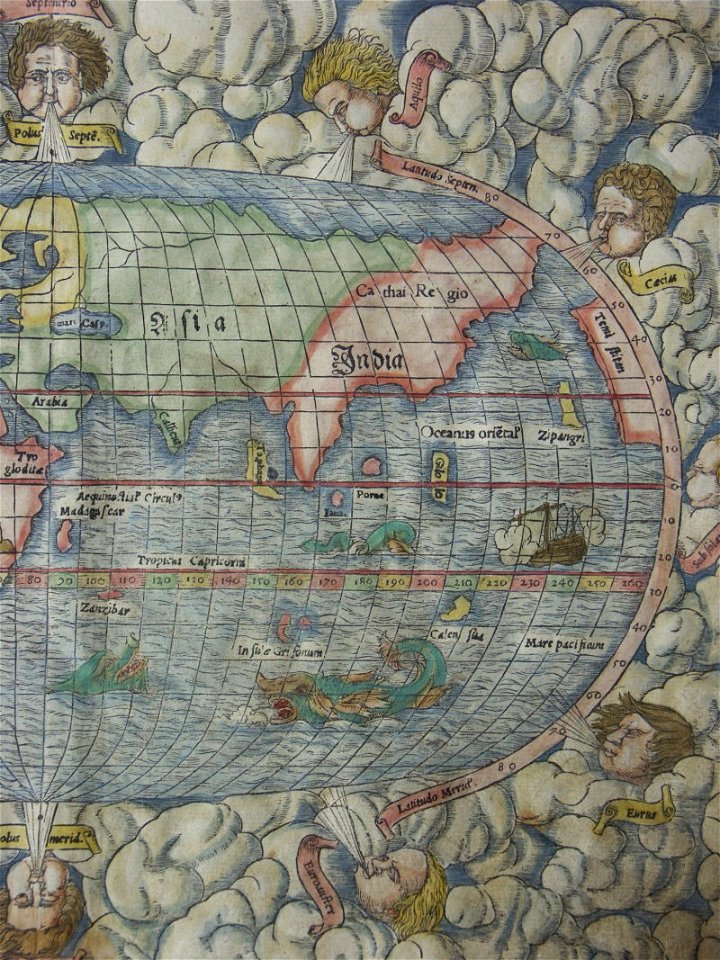
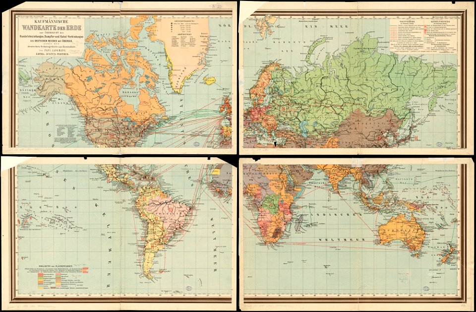
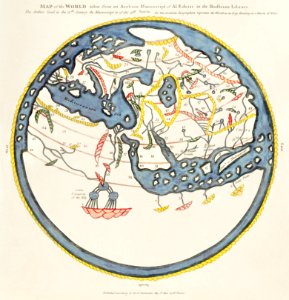
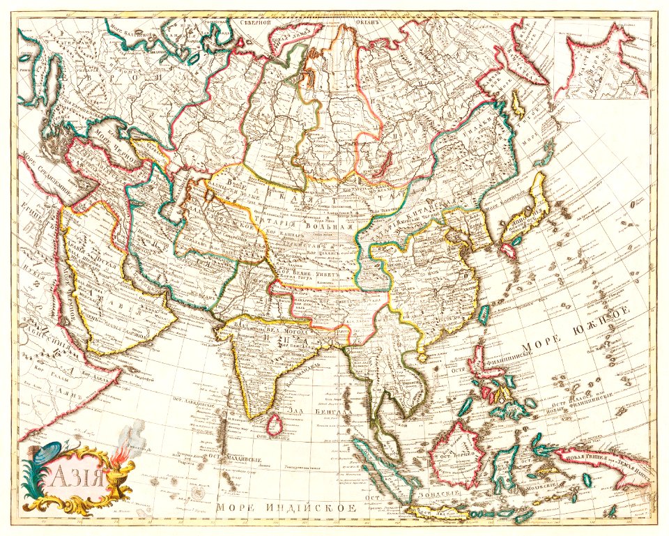
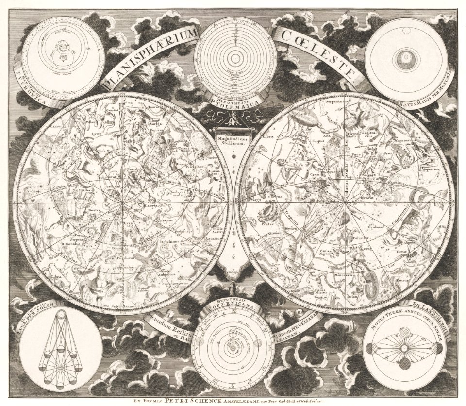
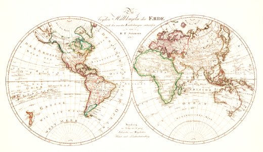
карти
карта на света
винтидж
постер
свят
атлас
антика
австралия
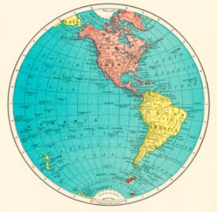
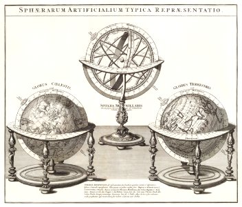
глобус
земя
австралия
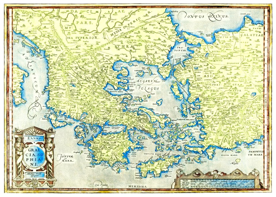
карти
австралия
карти
винтидж
карти
глобус
карти
глобус
карти
карти
земя
карти
печат
илюстрация
карти
глобус
карти
винтидж
карти
илюстрация
карти
глобус
карти
винтидж
карти
глобус
карти
винтидж
карти
изкуство
карти
ландшафт
карти
карти
свят
австралия
карти
винтидж
карти
карти
море
винтидж
карти
австралия
карти
африка
карти
австралия
карти
глобус
карти
африка
карти
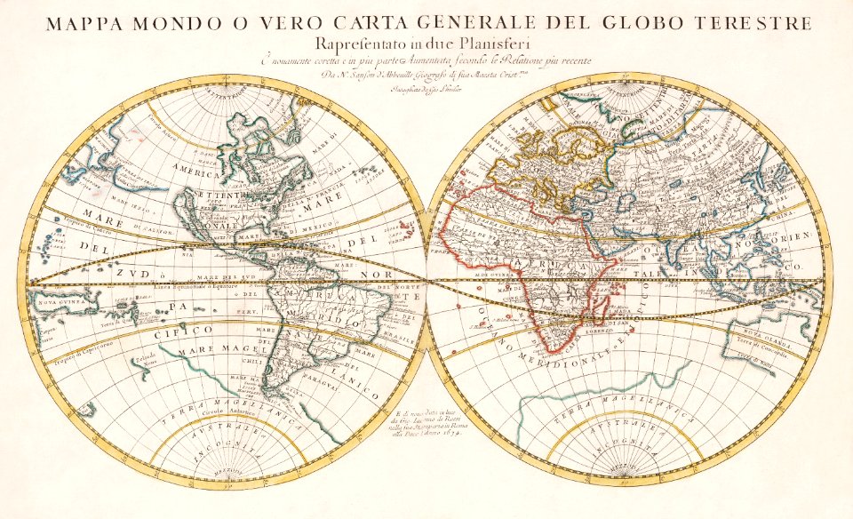
карта на света
карти
австралия
карти
винтидж
карти
карти
свят
австралия
карти
илюстрация
карти
карта на света
карти
австралия
карти
карти
море
карта на света
карти
хора
карта на света
проект
илюстрация
карти
илюстрация
карти
карти
океан
илюстрация
карти
карти
море
карти
свят
карта на света
карти
винтидж
карти
илюстрация
книга
илюстрация
карти
1 - 100 z celkového počtu 119
Следваща страница
/ 2


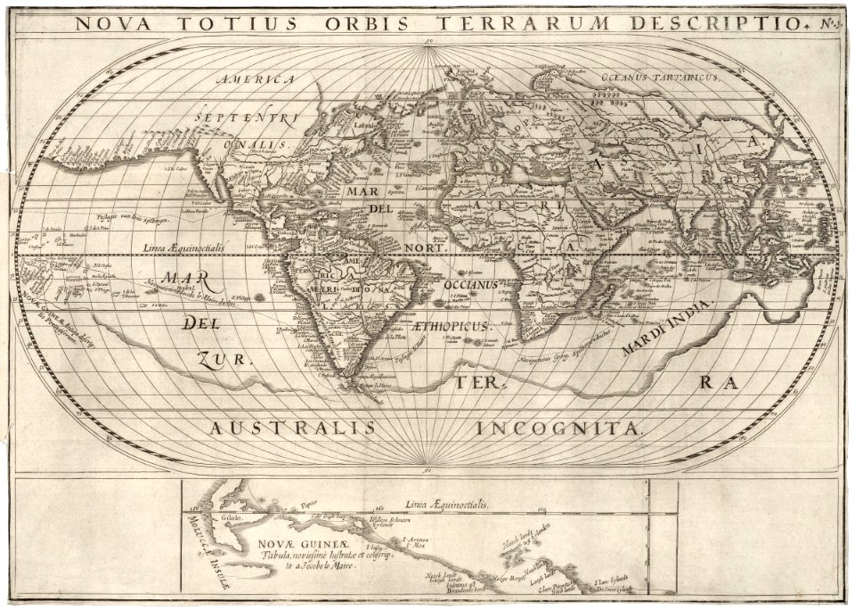


![A new map of the world [cartographic material]: from the latest observations (1720) by John Senex.](https://cdn.creazilla.com/illustrations/1940323/a-new-map-of-the-world-cartographic-material-from-the-latest-observations-1720-b-md.jpeg)
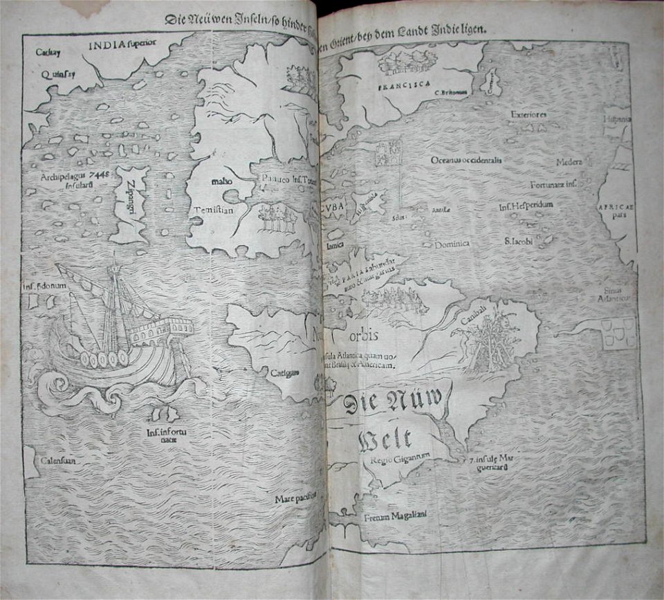
![Bankoku Jinbutsu no Dzu [Picture of the World and its People] (1825) by Imakajiyamachi Eijudo.](https://cdn.creazilla.com/illustrations/1953419/bankoku-jinbutsu-no-dzu-picture-of-the-world-and-its-people-1825-by-imakajiyamac-md.jpeg)
![Map of France, Spain, and Portugal; Switzerland in cantons [inset]; Island of Corsica (1863) by Samuel Augustus Mitchell.](https://cdn.creazilla.com/illustrations/1953186/map-of-france-spain-and-portugal-switzerland-in-cantons-inset-island-of-corsica--sm.jpeg)