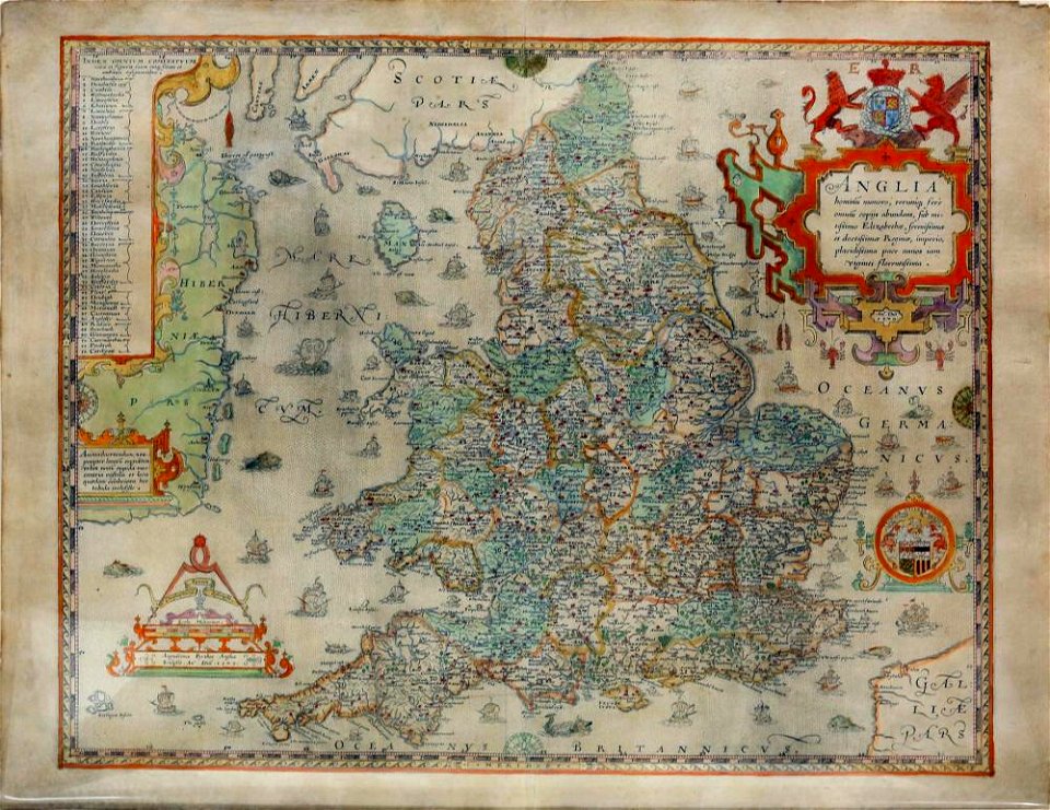
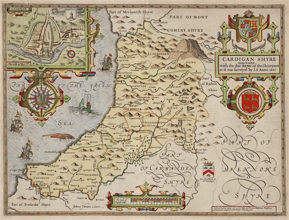
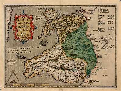
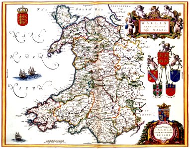
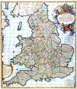
19 Свободни изкуства за Old Maps Of Wales

Gogerddan Map 110, A map of the Borough of Aberystwith
Southall's census map of Wales
Saxton’s Proof Map of Wales
A New and Correct Map of England and Wales, Now Called South Britain 1717
John Speed Wales
Saxton Anglia State II
John Speed Cardiganshire
Cambriae Typus NLW
Gogerddan estate maps 37 f.64r Cwmsymlog mineworks
Gogerddan estate maps 113. 1738 survey of Estate of Walter Pryse, Llangorse
Wenceslas Hollar - South Wales
Gogerddan Map 110, A map of the Borough of Aberystwith and Llanbadarn Fawr
Gogerddan estate maps 36 Llanfair Clydogau and Llanddewibrefi estates. f.25v
Principatus Walliae pars borealis vulgo North Wales - CBT 6599369
Principatus Walliae pars australis vulgo South-Wales - CBT 6599377
Accuratissima Angliae regni et Walliae principatus descriptio - CBT 6604533
Wenceslas Hollar - Surrey (State 4)
Atlas Van der Hagen-KW1049B11 031-WALLIA PRINCIPATUS Vulgo WALES.
Atlas Van der Hagen-KW1049B11 004-A NEW MAP OF THE KINGDOME of ENGLAND, Representing the Princedome of WALES, and other PROVINCES, CITIES, MARKET TOWNS, with the ROADS from TOWN to TOWN
1 - 19 z celkového počtu 19
/ 1