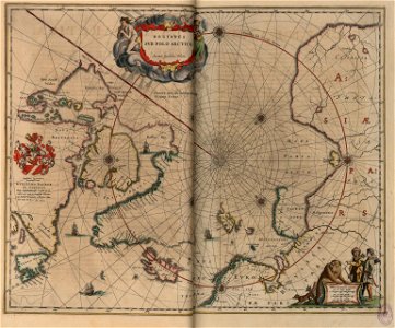
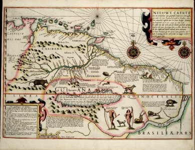
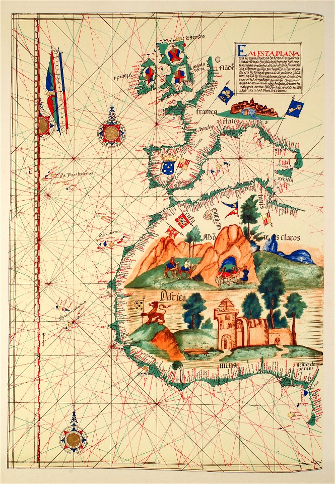
11 Свободни изкуства за Portolan Charts

1620 0 Europa Blaeu Rare
1624 Zuijderdeel vd Belt Blaeu Rare
1590 Portolan chart of the Eastern Mediterranean, the Aegean and the Black Sea by Joan Oliva
Vesconte Maggiolo. World chart, from eastern coasts of America to India. PORTOLAN CHART. Naples, 1516
Fernão Vaz Dourado 1575-1
1630 Blaeu Map of Capitanata ( Foggia ), Italy - Geographicus - Capitanata-blaeu-1630
Nuevo Atlas o Teatro Mundo - Regiones Sub Polo Arctico
Sebastião Lopes 1575
1599 Guyana Hondius
Coats of arms from 1543 France, from- Guillaume Brouscon. World chart, which includes America and a large Terra Java (Australia). HM 46. PORTOLAN ATLAS and NAUTICAL ALMANAC. France, 1543 (cropped)
Lázaro Luis 1563
1 - 11 z celkového počtu 11
/ 1