Iniciar sesión
Todos los recursos
Crear un diseño
15.370 Imágenes gratuitas de Plan
historia
histórico
hierba
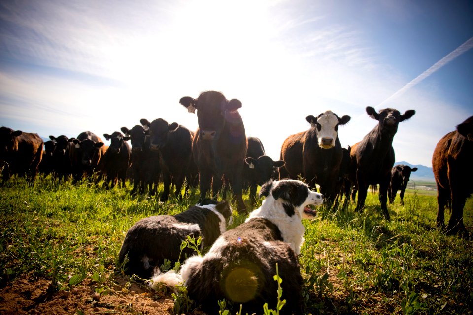
ganado
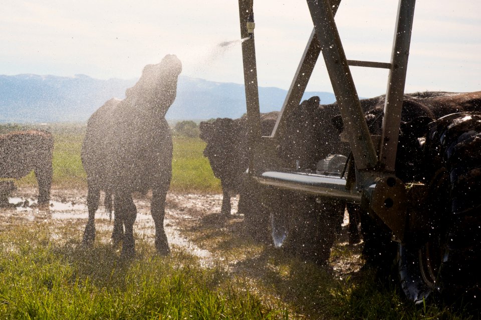
irrigación
naturaleza
animales
vida silvestre
al aire libre
flor silvestre
histórico
historia
histórico
historia
histórico
historia
histórico
historia
histórico
historia
histórico
historia
papel
notas
histórico
historia
naturaleza
animales
naturaleza
animales
naturaleza
animales
histórico
historia
naturaleza
animales
histórico
historia
en blanco y negro
monocromo
arquitectura
agua
vehículo
ciudad
paisaje
agua
arquitectura
ganado
hierba
cultivo
suelo
ganado
hierba
paisaje
vaca
ganado
hierba
ganado
hierba
ganado
hierba
ganado
hierba
ganado
hierba
día de acción de gracia
comida
histórico
historia
histórico
historia
histórico
historia
histórico
historia
histórico
historia
histórico
historia
histórico
historia
histórico
historia
histórico
historia
histórico
historia
histórico
historia
histórico
historia
histórico
historia
histórico
historia
histórico
historia
histórico
historia
histórico
historia
histórico
historia
histórico
historia
histórico
historia
histórico
historia
histórico
historia
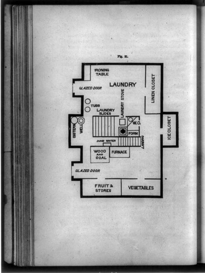
planta baja
historia
planta baja
historia
planta baja
historia
historia
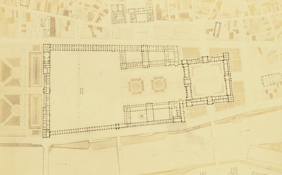
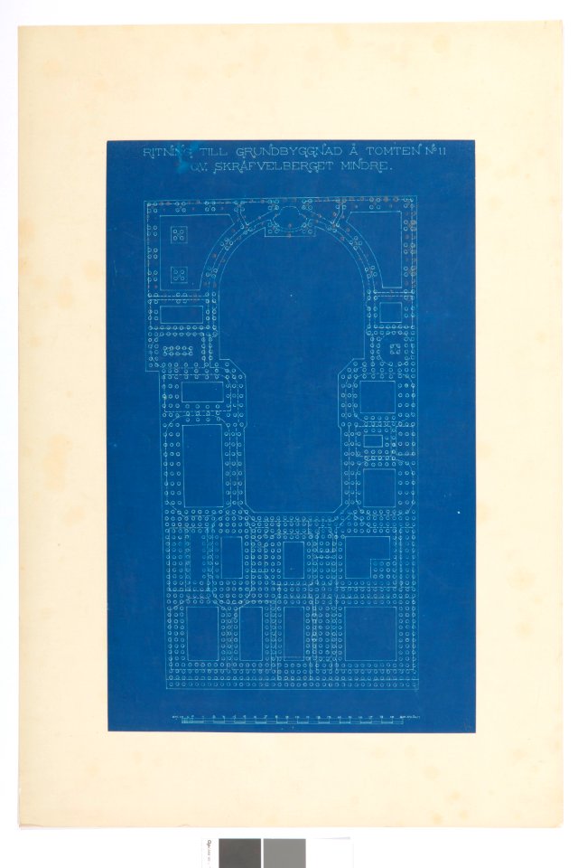
plano
histórico
historia
acuarela
acuarela
acuarela
9901 - 10000 de 15.370
Página siguiente
/ 154


![[Map of Hamburg as Georg Braun and Franz Hogenberg's Hamburgum], 1572](https://cdn.creazilla.com/illustrations/10000270249/map-of-hamburg-as-georg-braun-and-franz-hogenbergs-hamburgum-1572-md.jpg)