Jelentkezzen be
Összes erőforrás
Terv készítése
Tools
1462 Ingyenes képek a(z) Mappa témában
iroda
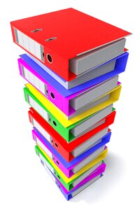
portfólió
fájl
💡 tárgyak hangulatjel
papír
bizonyíték
üzleti vállalkozás
ajándék
fehér
tart
róma
róma
róma
reneszánsz
róma
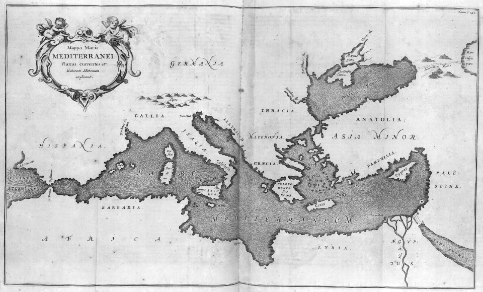
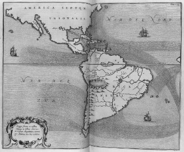
térkép
tenger
róma
mappa
róma
sablon
mappa
olaszország
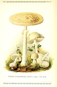
gomba
üzleti vállalkozás
könyv
róma
üzleti vállalkozás
könyv
üzleti vállalkozás
könyv
üzleti vállalkozás
könyv
németország
gomba
üzleti vállalkozás
könyv
üzleti vállalkozás
könyv
üzleti vállalkozás
könyv
üzleti vállalkozás
könyv
üzleti vállalkozás
könyv
üzleti vállalkozás
könyv
üzleti vállalkozás
könyv
posta
mappa
üzleti vállalkozás
könyv
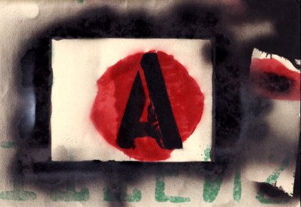
negatív
papír
japán
térkép
észak
mappa
ikon
mappa
fájl
mappa
ikon
iskola
fájl
iskola
fájl
iskola
fájl
iskola
fájl
állat
ikon
iskola
fájl
papír
mappa
történelem
történelmi
doboz
mappa
polcok
mappa
biztonság
hackelés
objektumok
😃 emodzsi
technológia
emberek
épület
jármű
objektumok
😃 emodzsi
objektumok
😃 emodzsi
objektumok
iroda
objektumok
😃 emodzsi
technológia
számítógép
dél amerika
térkép
objektumok
😃 emodzsi
objektumok
😃 emodzsi
objektumok
😃 emodzsi
objektumok
😃 emodzsi
objektumok
😃 emodzsi
objektumok
😃 emodzsi
objektumok
iroda
iroda
fájl
objektumok
😃 emodzsi
objektumok
😃 emodzsi
objektumok
😃 emodzsi
objektumok
😃 emodzsi
üzleti vállalkozás
iroda
objektumok
😃 emodzsi
objektumok
😃 emodzsi
kézfej
mappa
objektumok
😃 emodzsi
objektumok
😃 emodzsi
objektumok
😃 emodzsi
objektumok
😃 emodzsi
301 - 400 a(z) 1462 -ból/-ből
Következő oldal
/ 15