Masuk
Semua sumber daya
Buat desain
358.957 Gambar gratis untuk Map
peta
antik
ilustrasi
massachusetts
west virginia
bendera
peta
amerika serikat
peta
ilustrasi
peta
afrika
peta
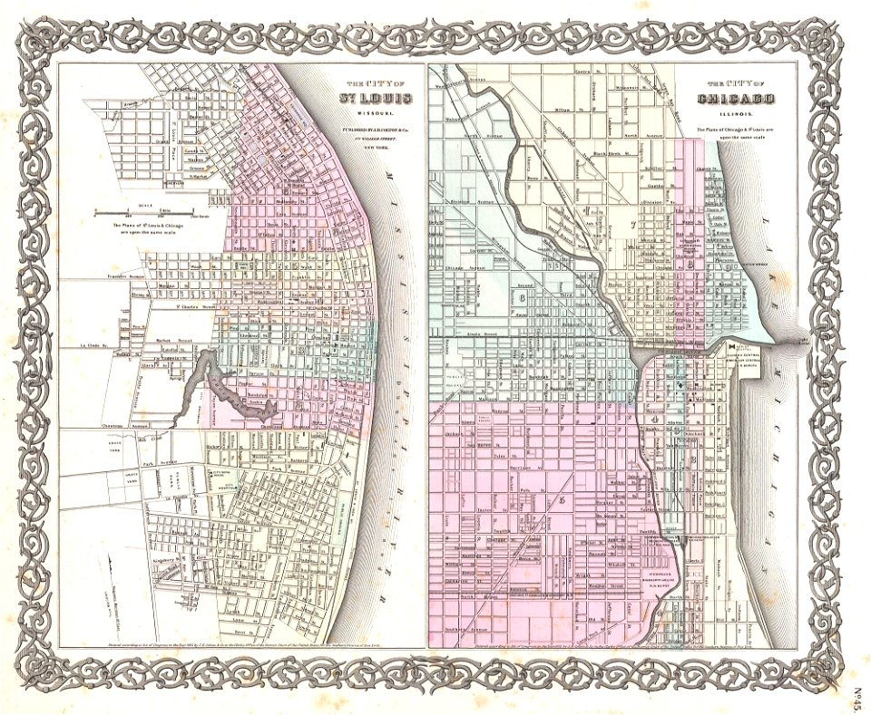
missouri
menutupi
map
prancis
cokelat
peta
massachusetts
massachusetts
ilustrasi
peta
new york
3901 - 4000 dari 358.957
Halaman berikutnya
/ 3590