Masuk
Semua sumber daya
Buat desain
358.957 Gambar gratis untuk Map
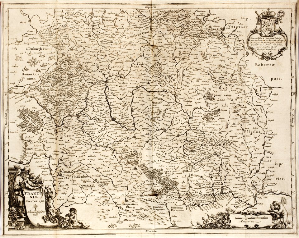
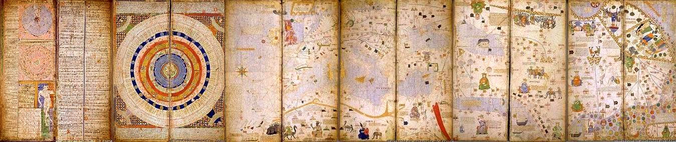
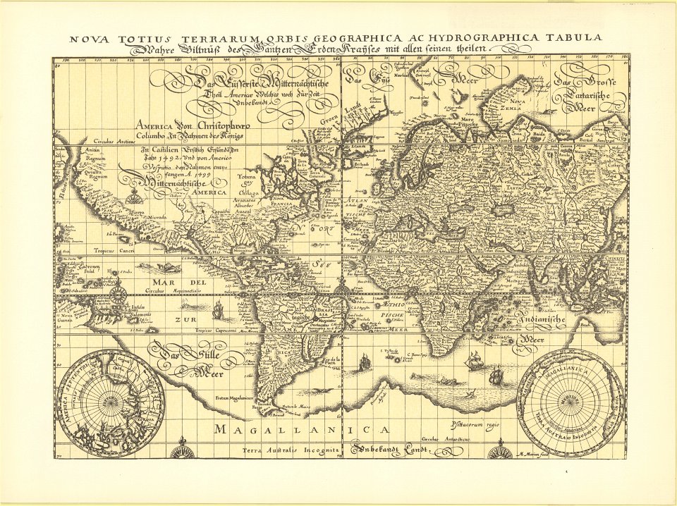
antik
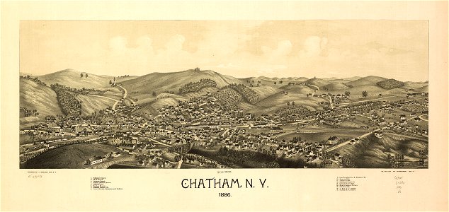
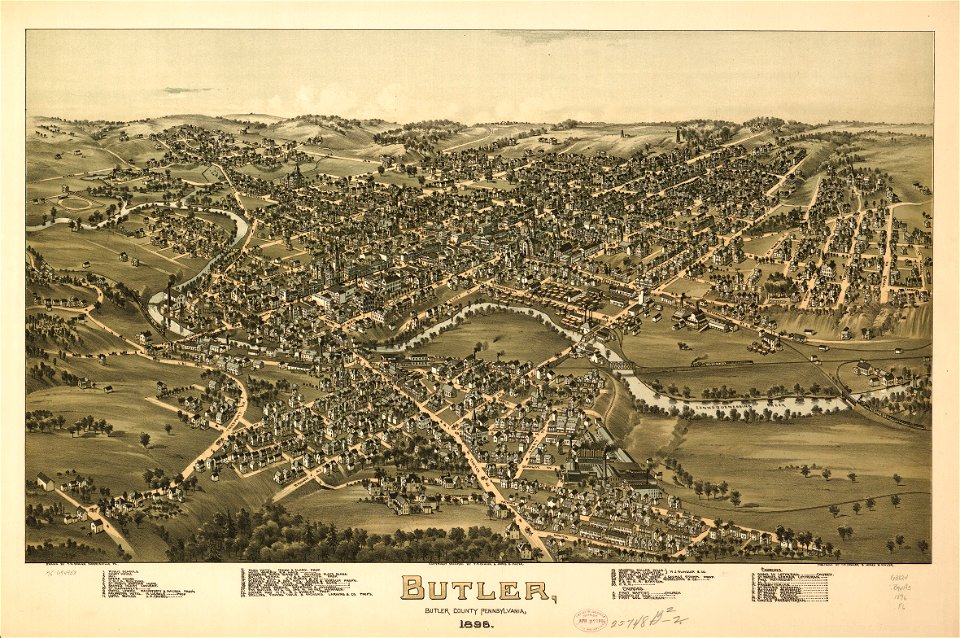
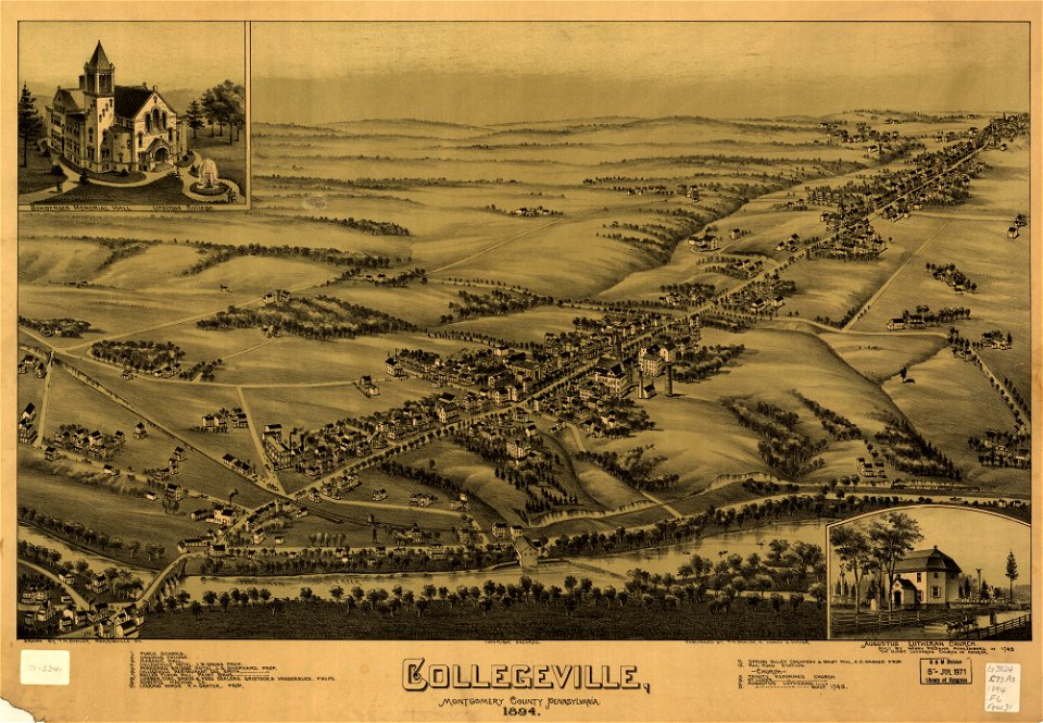
peta
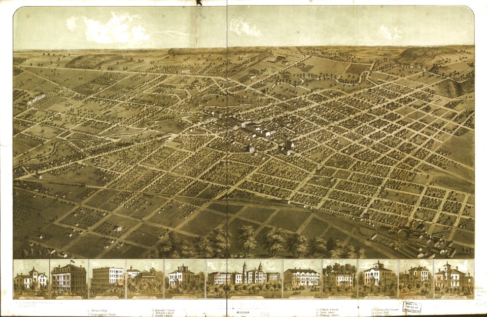
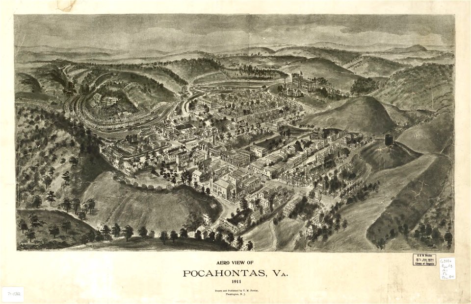
peta
laut
puerto riko
4801 - 4900 dari 358.957
Halaman berikutnya
/ 3590