Masuk
Semua sumber daya
Buat desain
358.957 Gambar gratis untuk Map
arsitektur
perjalanan
kota
peta
emas
kota
desa
navigasi
arah
perjalanan
perjalanan
perahu
navigasi
peta
petualangan
kompas
benua
peta
bendera
peta
arsitektur
arsitektur
tumbuhan
alam
emas
perjalanan
lanskap
arsitektur
arsitektur
perjalanan
kota
arsitektur
kota
kota
logam
kendaraan
mobil
musim semi
tumbuhan
arsitektur
kota
emas
kendaraan
militer
emas
logam
arsitektur
arsitektur
arsitektur
arsitektur
fasad
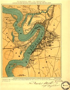
mississippi
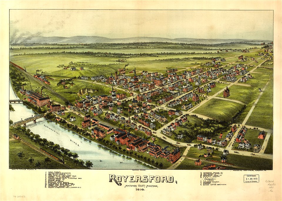
pennsylvania
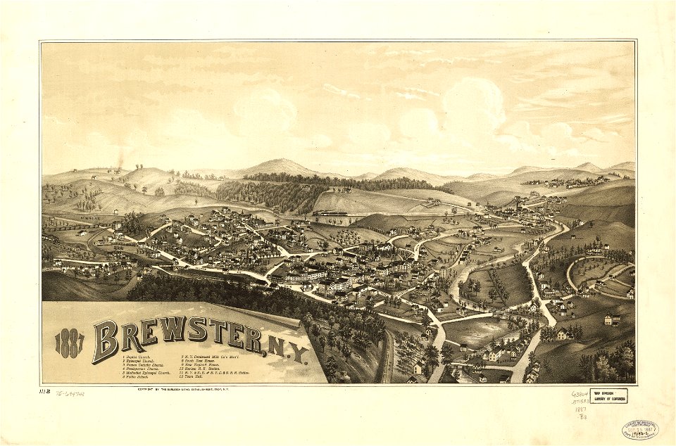
new york
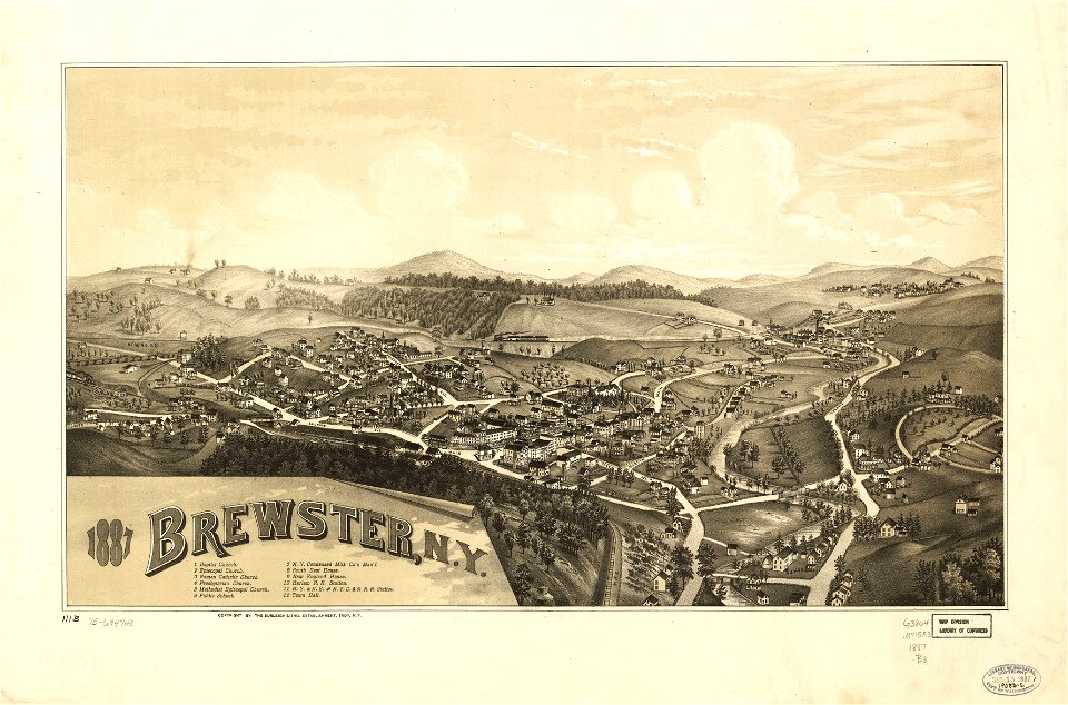
new york
massachusetts
mississippi
5701 - 5800 dari 358.957
Halaman berikutnya
/ 3590