Masuk
Semua sumber daya
Buat desain
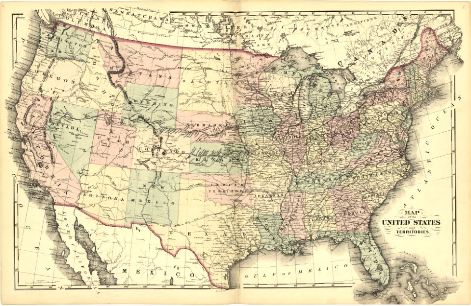
358.957 Gambar gratis untuk Map
new jersey
massachusetts
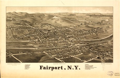
new york
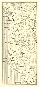
peta
new jersey
new jersey
new jersey
new jersey
new jersey
new jersey
new jersey
new jersey
new jersey
new jersey
massachusetts
geografi
peta
australia
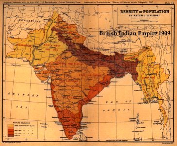
peta
massachusetts
massachusetts
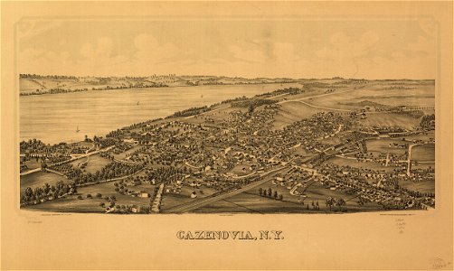
new york
new york
massachusetts
new jersey
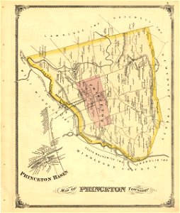
new jersey
new jersey
new jersey
new jersey
new jersey
new jersey
new jersey
new jersey
new jersey
new jersey
new jersey
new jersey
new jersey
new jersey
new jersey
new jersey
new jersey
new jersey
new jersey
new jersey
new jersey
new jersey
new jersey
new jersey
new york
new york
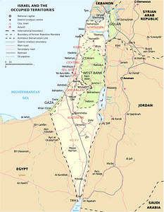
israel
5901 - 6000 dari 358.957
Halaman berikutnya
/ 3590