Masuk
Semua sumber daya
Buat desain
378.055 Gambar gratis untuk Map
new jersey
new york
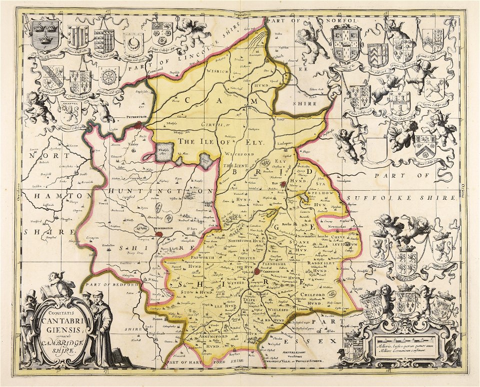
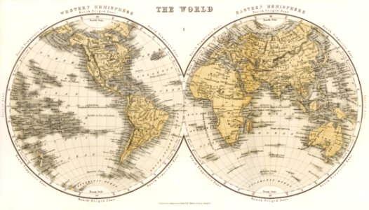
peta
geografi
kertas
amerika serikat
peta
belang (pola)
pena
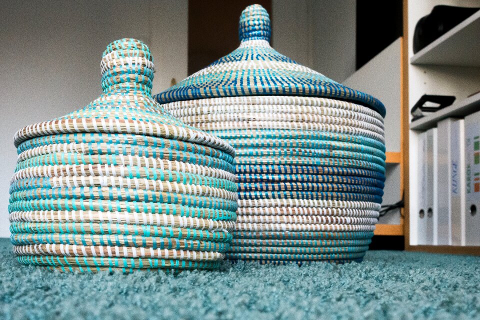
keranjang
karpet
kereta api
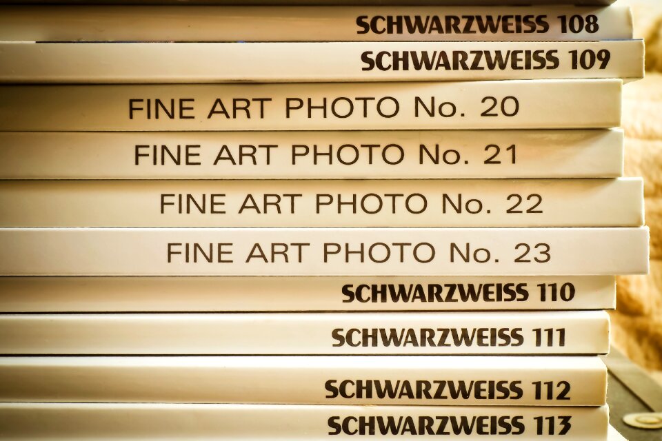
membaca
australia
peta
petualangan
kompas
new jersey
new jersey
new jersey
new jersey
new jersey
new jersey
new jersey
new jersey
new jersey
new jersey
new jersey
new jersey
new jersey
new jersey
new jersey
new jersey
new jersey
new jersey
new jersey
new jersey
new jersey
new jersey
new jersey
new jersey
new jersey
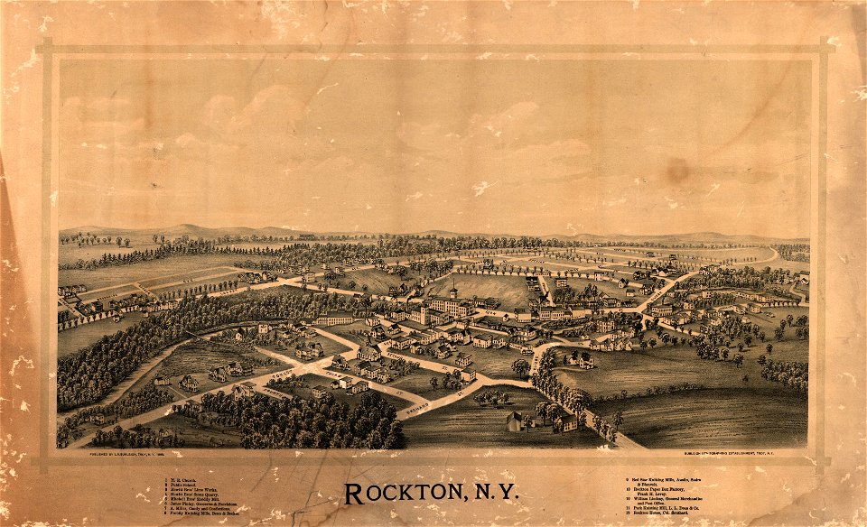
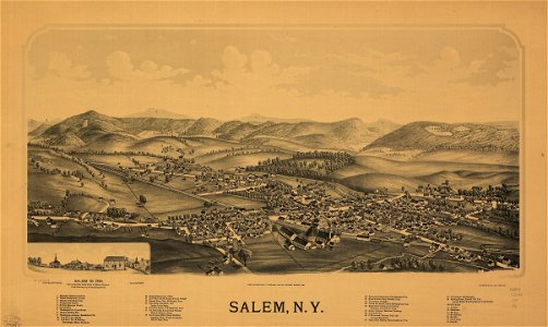
new york
new york
new york
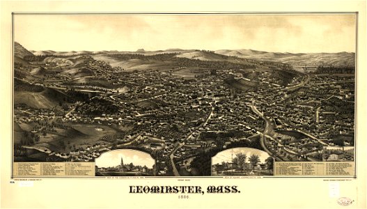
massachusetts
6701 - 6800 dari 378.055
Halaman berikutnya
/ 3781