Masuk
Semua sumber daya
Buat desain
357.055 Gambar gratis untuk Map
west virginia
new york
pennsylvania
filipina
new york
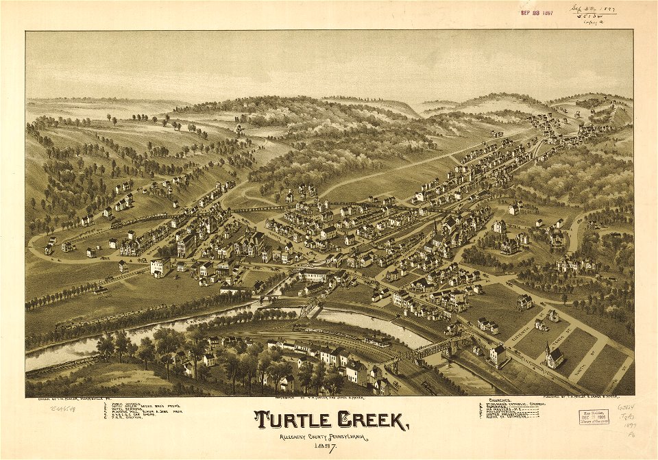
pennsylvania
pennsylvania
west virginia
west virginia
west virginia
west virginia
west virginia
west virginia
west virginia
filipina
pennsylvania
pennsylvania
west virginia
filipina
pennsylvania
pennsylvania
west virginia
west virginia
new york
spanyol
kolumbia
west virginia
west virginia
west virginia
west virginia
west virginia
west virginia
new york
new york
new york
new york
new york
west virginia
west virginia
west virginia
new york
west virginia
west virginia
pennsylvania
pennsylvania
7801 - 7900 dari 357.055
Halaman berikutnya
/ 3571