Masuk
Semua sumber daya
Buat desain
357.055 Gambar gratis untuk Map
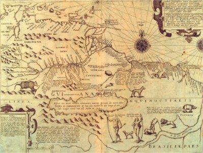
peta
rencana
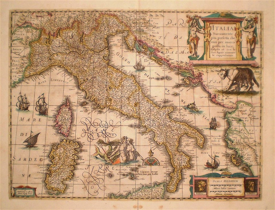
italia
ilustrasi
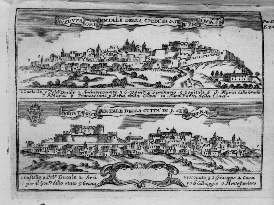
kota
barang antik
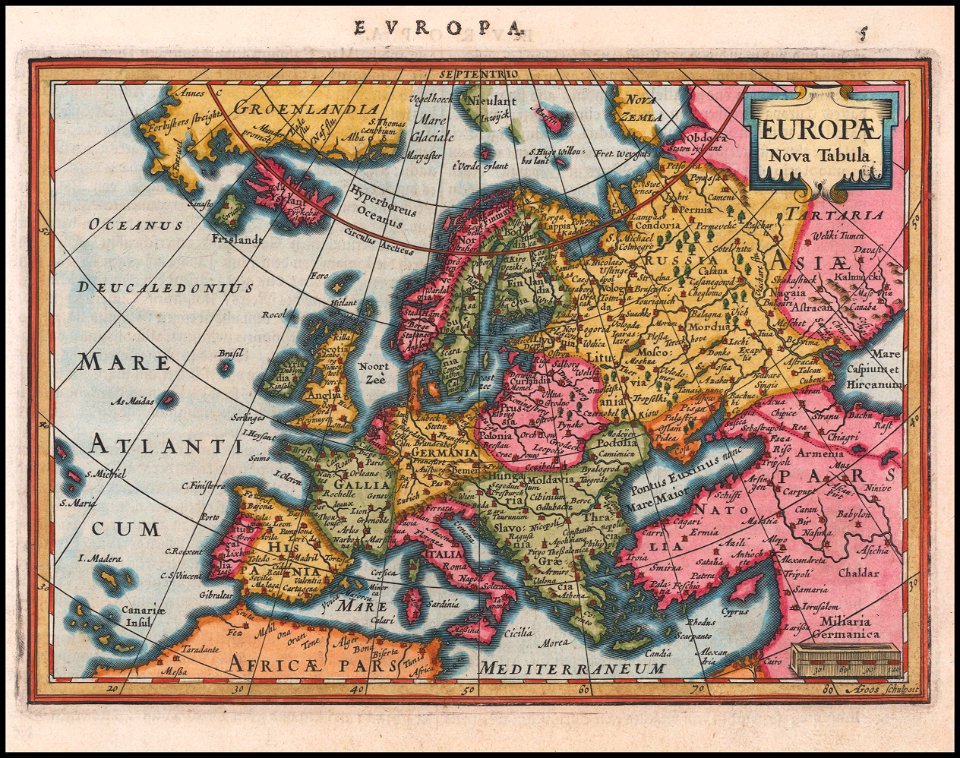
geografi
peta
jerman
peta
italia
peta
italia
peta
geografi
peta
geografi
peta
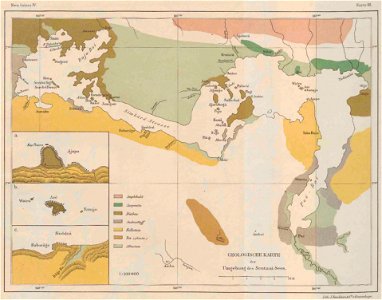
afrika
peta
geografi
peta
ilustrasi
peta
ilustrasi
peta
ilustrasi
peta
ilustrasi
peta
ilustrasi
peta
ilustrasi
peta
ilustrasi
peta
ilustrasi
peta
ilustrasi
peta
ilustrasi
peta
ilustrasi
peta
ilustrasi
peta
ilustrasi
peta
ilustrasi
peta
ilustrasi
peta
ilustrasi
peta
ilustrasi
peta
ilustrasi
peta
ilustrasi
peta
ilustrasi
peta
ilustrasi
peta
ilustrasi
peta
ilustrasi
peta
ilustrasi
peta
ilustrasi
peta
ilustrasi
peta
ilustrasi
peta
bendera
peta
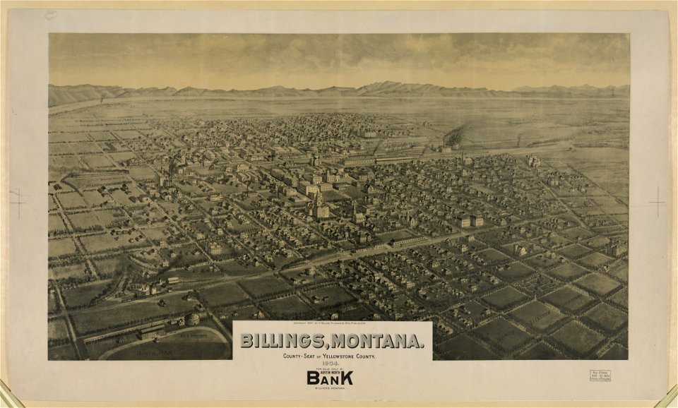
montana
8001 - 8100 dari 357.055
Halaman berikutnya
/ 3571