Masuk
Semua sumber daya
Buat desain
357.055 Gambar gratis untuk Map
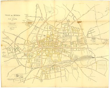
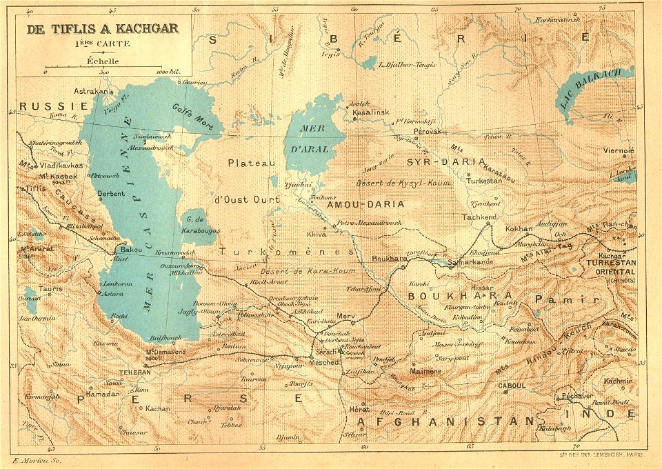
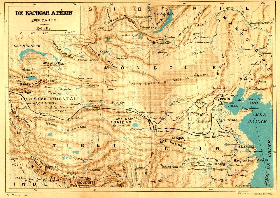
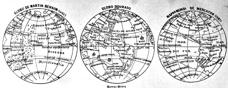
peta
prancis
jerman
atlas
new york
italia
asia
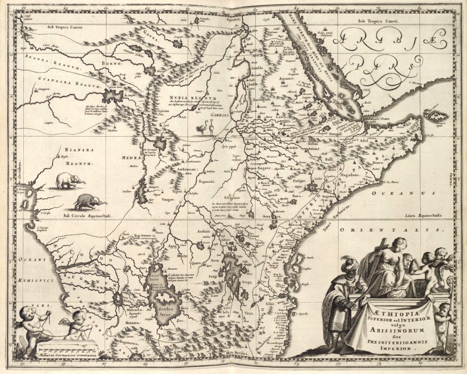
afrika
pennsylvania
massachusetts
ilustrasi
buku
prancis
peta
prancis
peta
prancis
peta
peta
peta
peta
peta
peta
peta
peta
peta
prancis
peta
italia
peta
prancis
peta
prancis
peta
prancis
peta
prancis
peta
bagus
peta
peta
peta
jerman
peta
jerman
peta
jerman
peta
jerman
peta
perjalanan
peta
peta
asia
peta
filipina
peta
mesir
peta
afrika
peta
afrika
peta
amerika
peta
italia
peta
atlas
peta
atlas
peta
atlas
peta
atlas
peta
peta
peta
new york
new york
pennsylvania
pennsylvania
new york
massachusetts
massachusetts
8201 - 8300 dari 357.055
Halaman berikutnya
/ 3571