357.055 Gambar gratis untuk Map
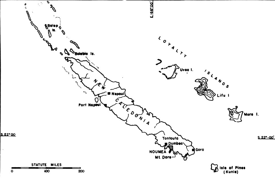
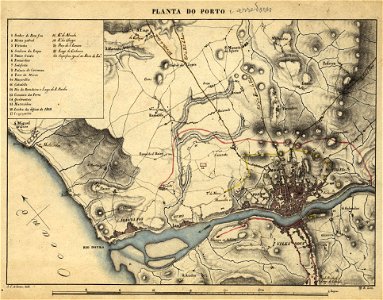
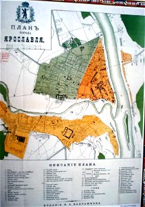
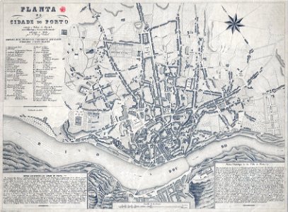
1723 GMG1097-1102 934 Batavia
1730 celestial chart - Globi Coelestis In Tabulas Planas Redacti Pars V
Corfu insula - Camocio Giovanni Francesco - 1574
Cefalonia insula - Camocio Giovanni Francesco - 1574
Bourbourg - 1641
Bourtange 1657 Merian
Boston - bird's eye view from the north - J. Bachmann del. and lith. LCCN2001696113
Detail Gistel
Ducato di Savoia e stati limitrofi
CH-NB-Curioses Staats- und Kriegs-Theatrum Dermahliger Begebenheiten -in Savoyen-...-19944-page029
CH-NB-Schweiz-18671-page007
Die Südliche Halbkugel für die Zeit der alten Griechen und Römer entworfen
Edinburgh Civitates Orbis Terrarum
Mappemonde terrestre - verso du Saint Florian
Grave 1649 Blaeu Zw
Gistel - 1641
Evert Maaskamp, Afb KAVA00065000001
Evert Maaskamp, Afb KOG-AA-3-03-56
Evert Maaskamp, Afb KOKA00170000001
Evert Maaskamp, Afb KAVA00124000001
Evert Maaskamp, Afb KOG-AA-3-03-58
Evert Maaskamp, Afb KOKA00177000001
Evert Maaskamp, Afb KAVA00066000001
Evert Maaskamp, Afb KOG-AA-3-03-57
Evert Maaskamp, Afb KOKA00171000001
Evert Maaskamp, Afb KOG-AA-3-03-41
Evert Maaskamp, Afb KOKA00167000001
Großraum Kaspisches Meer 1910
Nova et accurata Moreae olim Peloponnesus dictae delineatio - Dapper Olfert - 1688
Natolia (1625-26 edition of Purchas' His Pilgrims)
New Caledonia Noumea Locator
Planta do Porto e arredores ca1830 (2)
Plan of Yaroslavl, 1883
Planta da cidade do Porto 1865 Perry Vidal
Planche VI
Plan des alten Roms Nachdruck Wien bey F A Schrämbl
Rhodi - Camocio Giovanni Francesco - 1574
Samos - Camocio Giovanni Francesco - 1574
Rammekens 1649 Blaeu HR
Rudboda, Västra Yttringe, Östra Yttringe mm, 1720
Schweizerhauspartie Kraatzplan
Kaart van den aanteleggen grindweg in de gemeenten Leek en Marum. Blad no. 2. Pasop - Frieschepalen (Uitsnede Tolbert)
Kadasterkaart Kantens B 2 (minuutplan) door F.F.N. van Hulten (1832) - Rottum-Oost
Karte Pilatussee um 1720
Karta över Nacka gård med Söderby säteri 1698 och 1723
Kierdorf um 1642
Nova descriptio Africae
Operations in Tsekee
Peloponnesus sive Morea - Dapper Olfert - 1688
Persia Sive Sophorum Regnum
Madras1739
Madras1739sw
Madras1739se
Madras1739ne
Madras1739nw
South America (1909)
Stift und Markt Berchtesgaden-1643
The City of San Francisco. Birds eye view from the bay looking south-west - - Sketched & drawn by C.R. Parsons. LCCN90715988
The Islets of the Channel 1858 Walter Cooper Dendy f
The Islets of the Channel 1858 Walter Cooper Dendy e
Stengärdet Nacka 1698-1723
Södermalms Kronobränneri 1796
Theatrum Vrbium 00187 Genf
Theatrum II 1640 Index GMG430 220 & 221
Umgebung Gmünds mit Wegstunden
Typus orbis terrarum
Tübingen und Neckar mit Zuflüssen - Karte von 1575
Tverskoe Nam-vo
Himmelskarte mit Tierkreiszeichen I 18Jh
Kaspisches Meer 1907. Meyers Großes Konversations-Lexikon, Bd. 7
Linschotens nordenkart, 1601 (12067624705) (2), Baptista van Doetecum
Wit, Frederick de -- Archiepiscopatus et electoratus Trevirensis (...)
Zuerichgau Stumpf
AMH-6798-NA Bird's eye view of the bay and the fort of Nieuw Vlissingen on Tobago
Corfou 1720
Dépt. du Gard (région du sud-est) - Fonds Ancely - B315556101 A LEVASSEUR 033
Dépt. des Vosges (région du nord-est) - Fonds Ancely - B315556101 A LEVASSEUR 088
Dépt. de l'Ardèche (région du sud-est) - Fonds Ancely - B315556101 A LEVASSEUR 010
Dépt. de l'Aveyron (région du sud) - Fonds Ancely - B315556101 A LEVASSEUR 015
Dépt. de Saône et Loire (région de l'est) - Fonds Ancely - B315556101 A LEVASSEUR 073
Dépt. des Hautes Pyrénées (région du sud) - Fonds Ancely - B315556101 A LEVASSEUR 068
Dépt. du Jura (région de l'est) - Fonds Ancely - B315556101 A LEVASSEUR 042
Gallaecia regnum - CBT 5880399
Muslim percent 1909
Eugene-Henry-Fricx-Table-des-cartes-des-Pays-Bas MG 0565
Pinkerton-1812-BA-Colonia
Hte-Garonne (La France et ses colonies, n° 30) - Fonds Ancely - B315556101 A CARTES 2 002
Prospect und Grundris der Keiserl. Freyen Reichs und Ansee Stadt Bremen samt ihrer Gegend - CBT 5874424
Rigobert-Bonne-Atlas-de-toutes-les-parties-connues-du-globe-terrestre MG 0016
Rigobert-Bonne-Atlas-de-toutes-les-parties-connues-du-globe-terrestre MG 9988
Stumpf Froschauer Landtaflen Wallis
AMH-6409-NA Map of the Cape of Good Hope to Lagoa Bay
Hand-drawn map of the Western Front of World War I outside Bapaume
9501 - 9600 dari 357.055 Halaman berikutnya
/ 3571