Masuk
Semua sumber daya
Buat desain
Tools
3.853 Gambar gratis untuk Remis
kartu remi
permainan kartu
sekop
delapan
nomor 8
enam
nomor 6
dua
nomor 2
tujuh
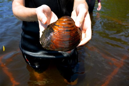
kehidupan liar
hewan
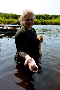
kehidupan liar
hewan
kartu remi
delapan
kartu remi
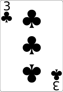
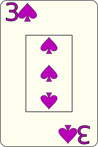
tiga
kartu remi
tiga
kartu remi
enam
kartu remi
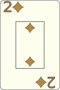
dua
kartu remi
tiga
kartu remi
delapan
kartu remi
bodoh
kartu remi
tujuh
kartu remi
enam
permainan
kuno
kartu remi
dua
kartu remi
enam
kartu remi
tujuh
kartu remi
dua
kartu remi
tujuh
kartu remi
delapan
kartu remi
delapan
kartu remi
delapan
kartu remi
tiga
kartu remi
sekop
kartu remi
tiga
kartu remi
dua
kartu remi
enam
kartu remi
tujuh
kartu remi
delapan
kartu remi
enam
kartu remi
tujuh
kartu remi
dua
kartu remi
tujuh
kartu remi
enam
kartu remi
dua
karakter
simbol
kartu remi
tiga
kehidupan liar
hewan
kehidupan liar
hewan
kehidupan liar
hewan
kehidupan liar
hewan
kartu remi
permainan
kartu remi
intan
kartu remi
intan
kartu remi
intan
kartu remi
sekop
kartu remi
jantung
jantung
ratu
kartu remi
intan
kartu remi
intan
kartu remi
sekop
kartu remi
sekop
kartu remi
sekop
kartu remi
sekop
kartu remi
jantung
kartu remi
sekop
kartu remi
sekop
kartu remi
intan
kartu remi
sekop
kartu remi
jantung
kartu remi
sekop
kartu remi
intan
kartu remi
jantung
kartu remi
jantung
historis
sejarah
historis
sejarah
kartu remi
sekop
kartu remi
intan
kartu remi
intan
kartu remi
sekop
kartu remi
sekop
kartu remi
jantung
kartu remi
sekop
kartu remi
intan
kartu remi
jantung
kartu remi
sekop
kartu remi
jantung
kartu remi
jantung
kartu remi
jantung
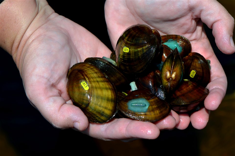
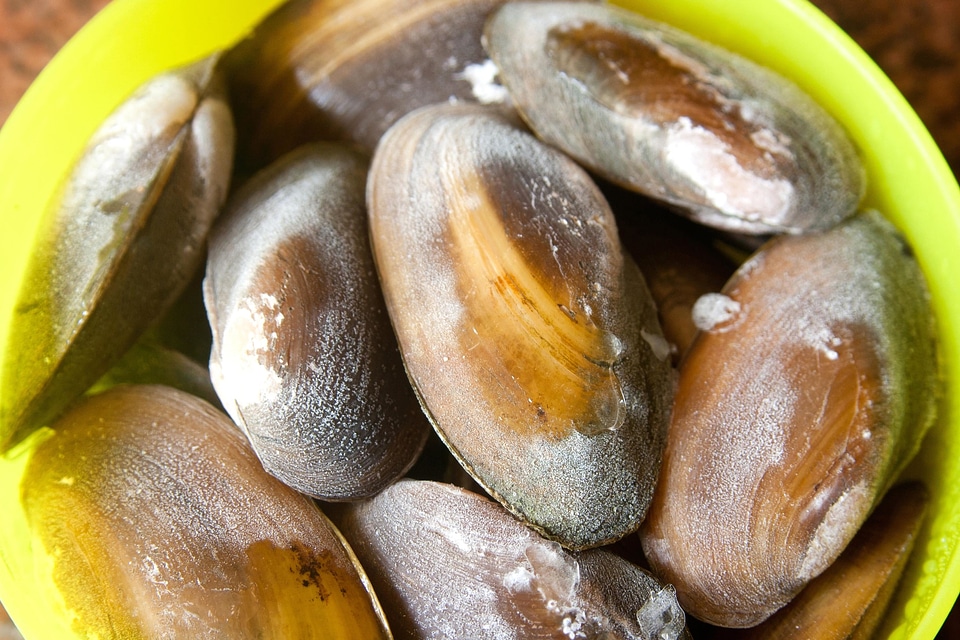
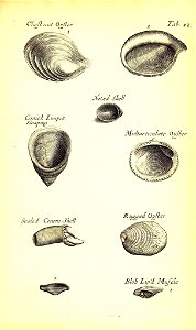
makanan
moluska
makanan
dapur
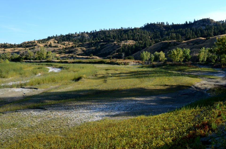
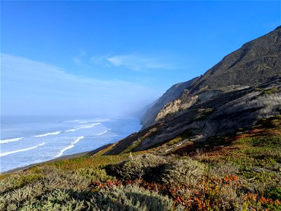
lanskap
pohon
draf
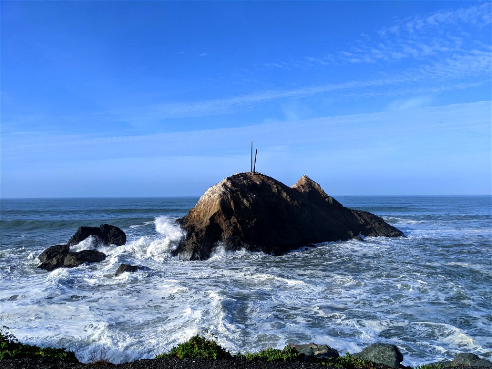
latar belakang
batu
anatomi
london
lanskap
air
3701 - 3800 dari 3.853
Halaman berikutnya
/ 39

![Europe: geography and statistics / geography and statistics by V[ictor] Levasseur, geographer engineer; engraved by Laguillermie; illustrated by Raimond Bonheur, Raymond Bonheur, 1840s](https://cdn.creazilla.com/illustrations/10000631504/europe-geography-and-statistics-geography-and-statistics-by-v-ictor-levasseur-geographer-engineer-engraved-by-laguillermie-illustrated-by-raimond-bonheur-raymond-bonheur-1840s-md.jpg)


![An accurate Map of Dorset shire: drawn from the best maps charts etc. & regulated by astron[omy] observ[atio]ns / by T. Kitchin, Thomas Kitchin](https://cdn.creazilla.com/illustrations/10000227853/an-accurate-map-of-dorset-shire-drawn-from-the-best-maps-charts-etc-regulated-by-astronomy-observations-by-t-kitchin-thomas-kitchin-md.jpg)