Masuk
Semua sumber daya
Buat desain
314.303 Foto gratis untuk Map
buku
kaligrafi
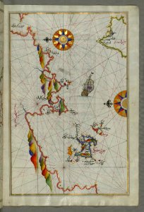
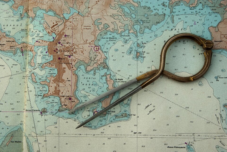
peta
kartu
perjalanan
peta dunia
merah
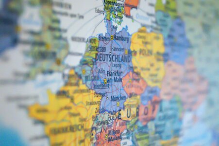
eropa
kartu ucapan
latar belakang
peta
buku
kartu
lanskap
buku
seni
buku
seni
buku
seni
buku
seni
buku
seni
buku
seni
buku
seni
buku
seni
buku
seni
buku
seni
buku
seni
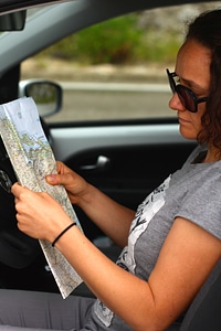
perjalanan
peta
kartu
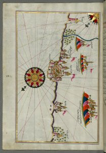
monumen
emas
bangunan
peta
peta
alam
kupu-kupu
alam
buku
seni
buku
seni
buku
seni
buku
seni
buku
seni
buku
seni
buku
seni
buku
seni
buku
seni
buku
seni
buku
seni
buku
seni
buku
seni
buku
seni
buku
seni
buku
seni
buku
seni
buku
seni
buku
seni
ilustrasi
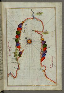
peta
hewan
peta
teddy bear
peta
teknologi
peta
musim semi
kuning
latar belakang
hewan
kartu
lanskap
afrika
peta
latar belakang
peta
perjalanan
peta
kartu
biru
kompas
laut
makanan
peta
perjalanan
peta
perjalanan
peta
sayur
peta
rumput
ombak
biru
kacamata hitam
perjalanan
latar belakang
peta
samudra
peta
4301 - 4400 dari 314.303
Halaman berikutnya
/ 3144