Accedi
Tutte le risorse
Creare un design
Tools
6.406 Immagini gratuite per Generale
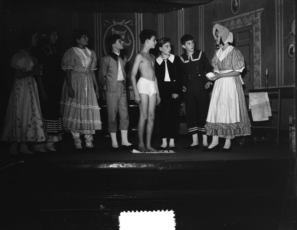
storia
storico
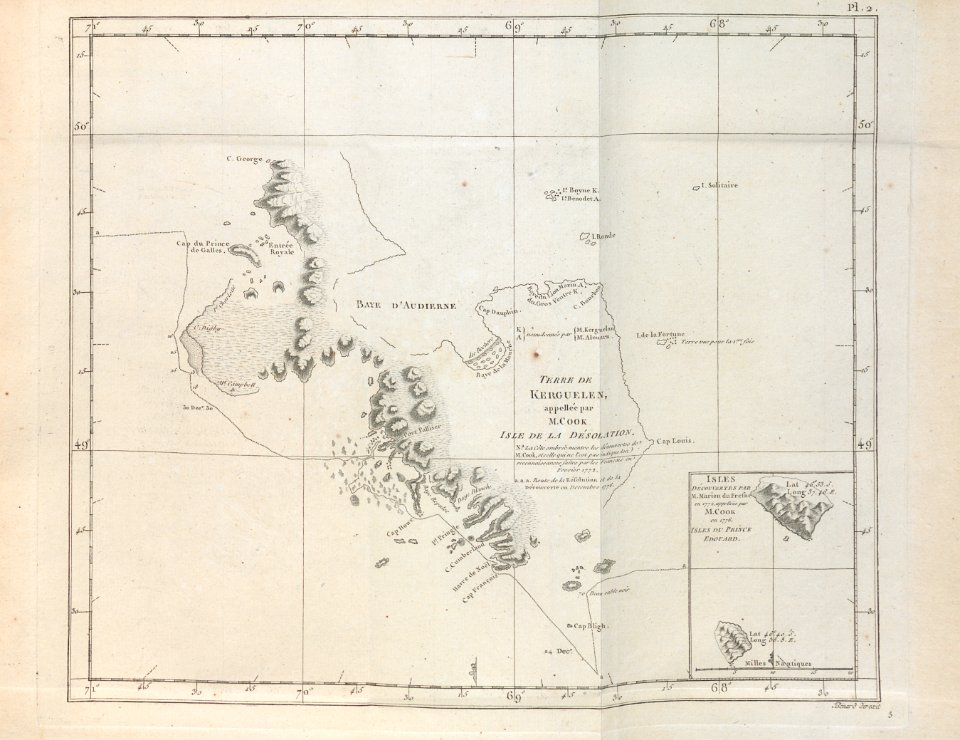
mappe
carta
storico
storia
storico
storia
storico
storia
storico
storia
storico
storia
storico
storia
storico
storia
storico
storia
storico
storia
storico
storia
italia
mappe
architettura
edificio
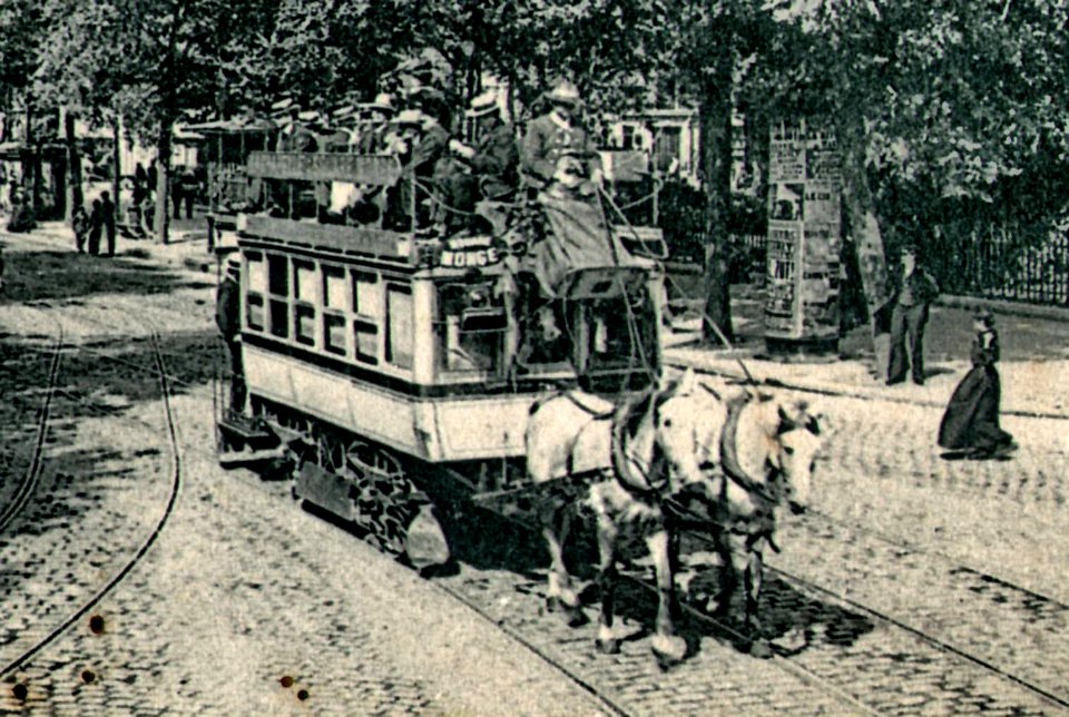
viaggio
mappe
storico
storia
storico
storia
storico
storia
storico
storia
storico
storia
storico
storia
storico
storia
storico
storia
storico
storia
storico
storia
autovettura
stati uniti
primavera
natura
storico
storia
storico
storia
storico
storia
storico
storia
storico
storia
storico
storia
halloween
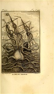
mare
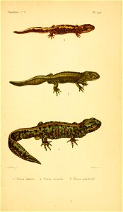
reptilia
anfibi
storico
storia
storico
storia
storico
storia
storico
storia
5501 - 5600 di 6.406
Pagina successiva
/ 65