Accedi
Tutte le risorse
Creare un design
Tools
954 Immagini gratuite per Quadrante
orologio
tempo
orologio del tempo
orologio da parete
numeri
mano
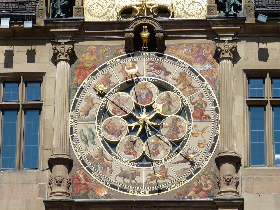
ora
storico
puntatore
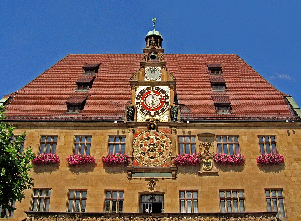
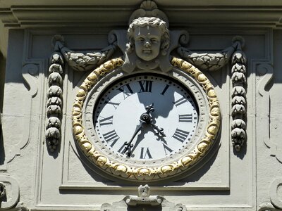
architettura
orologio da parete
quadrante
orologio
tempo
antartide
uccelli
orologio
corona
orologio
tempo
architettura
orologio
orologio
legno
storico
storia
carta
orologio
legno
orologio
tempo
architettura
orologio
orologio
scuola
orologio
tempo
edificio
orologio
orologio
testa
edificio
orologio
paesaggio
natura
orologio
tempo
orologio
tempo
orologio
mobilia
orologio
tempo
orologio
tempo
orologio
tempo
orologio
tempo
orologio
tempo
orologio
tempo
tempo
mano
orologio
tempo
orologio
tempo
orologio
tempo
orologio
tempo
orologio
tempo
orologio
tempo
orologio
tempo
orologio
tempo
orologio
tempo
orologio
tempo
orologio
tempo
orologio
tempo
orologio
tempo
orologio
tempo
orologio
tempo
orologio
tempo
orologio
tempo
orologio
tempo
orologio
tempo
fiori
erba
orologio
tempo
orologio
tempo
orologio
tempo
orologio
tempo
orologio
tempo
orologio
tempo
orologio
tempo
orologio
tempo
orologio
tempo
orologio
tempo
orologio
tempo
orologio
tempo
animali
uccelli
orologio
tempo
orologio
tempo
orologio
tempo
orologio
tempo
orologio
tempo
orologio
tempo
orologio
tempo
orologio
tempo
orologio
tempo
orologio
tempo
orologio
tempo
orologio
tempo
orologio
tempo
orologio
tempo
orologio
tempo
orologio
tempo
orologio
tempo
orologio
tempo
orologio
tempo
orologio
tempo
orologio
tempo
orologio
tempo
orologio
tempo
orologio
città
edificio
orologio
edificio
orologio
architettura
torre
orologio
tempo
orologio
viso
701 - 800 di 954
Pagina successiva
/ 10