Accedi
Tutte le risorse
Creare un design
1.830 Immagini gratuite per Satellite
spazio
veicolo
cielo
pianeta
astronomia
tecnologia
scienza
autovettura
settore automobilistico
classico
scienza
sfondo
tecnologia
scienza
paesaggio
albero
torre
blu
astronomia
spazio
tecnologia
industria
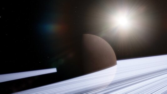
pianeta
spazio
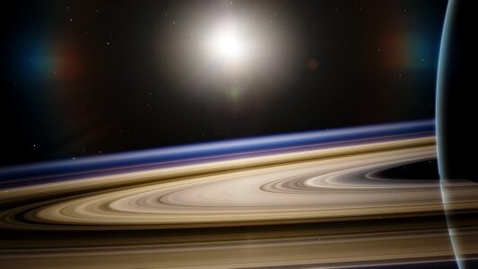
pianeta
spazio
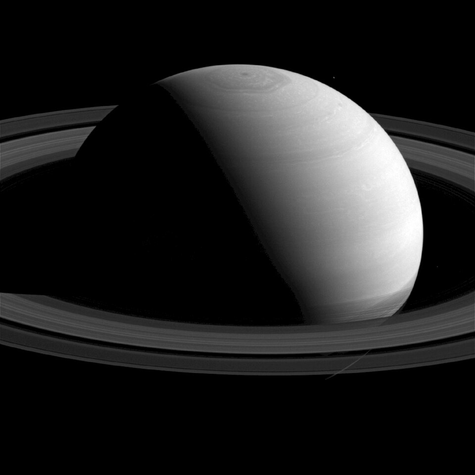
pianeta
spazio
tecnologia
blu
paesaggio
scienza
natura
spazio
edificio
città
autovettura
veicolo
edificio
viaggio
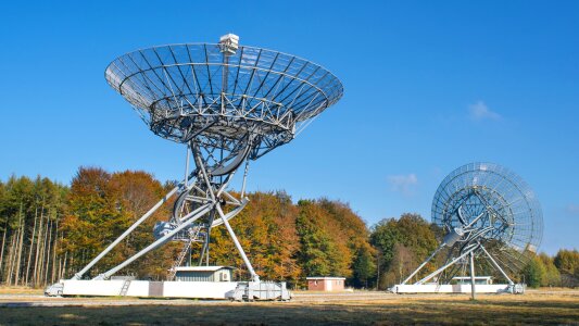
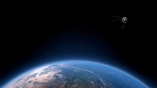
satellite
radio
animali
inverno
spazio
stella
paesaggio
scienza
radio
cielo
inverno
nuvole
autovettura
veicolo
autovettura
veicolo
inverno
nuvole
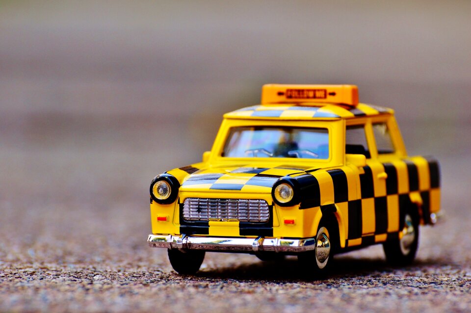
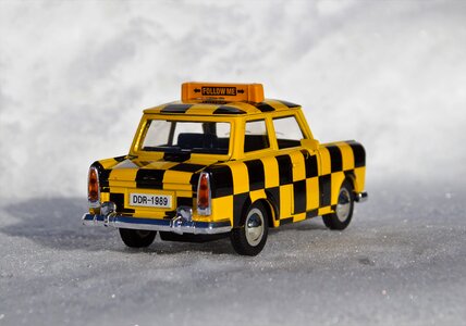
giocattolo
veicolo
autovettura
veicolo
scienza
spazio
tecnologia
scienza
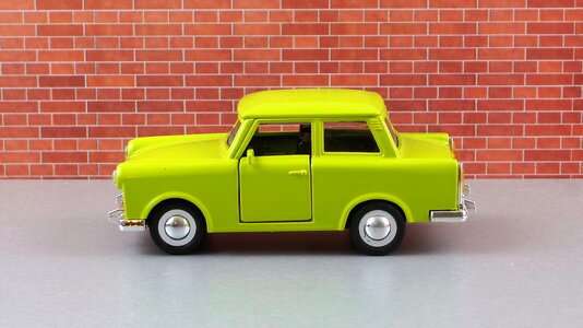
autovettura
veicolo
autovettura
veicolo
autovettura
veicolo
autovettura
veicolo
veicolo
acqua
elettronica
tecnologia
elettronica
tecnologia
pianeta
spazio
pianeta
spazio
scienza
spazio
autovettura
veicolo
stati uniti d'america
nuvole
pianeta
spazio
pianeta
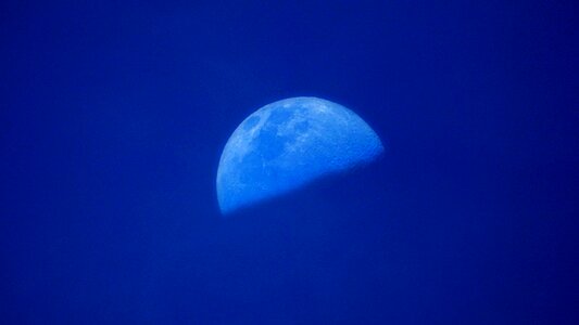
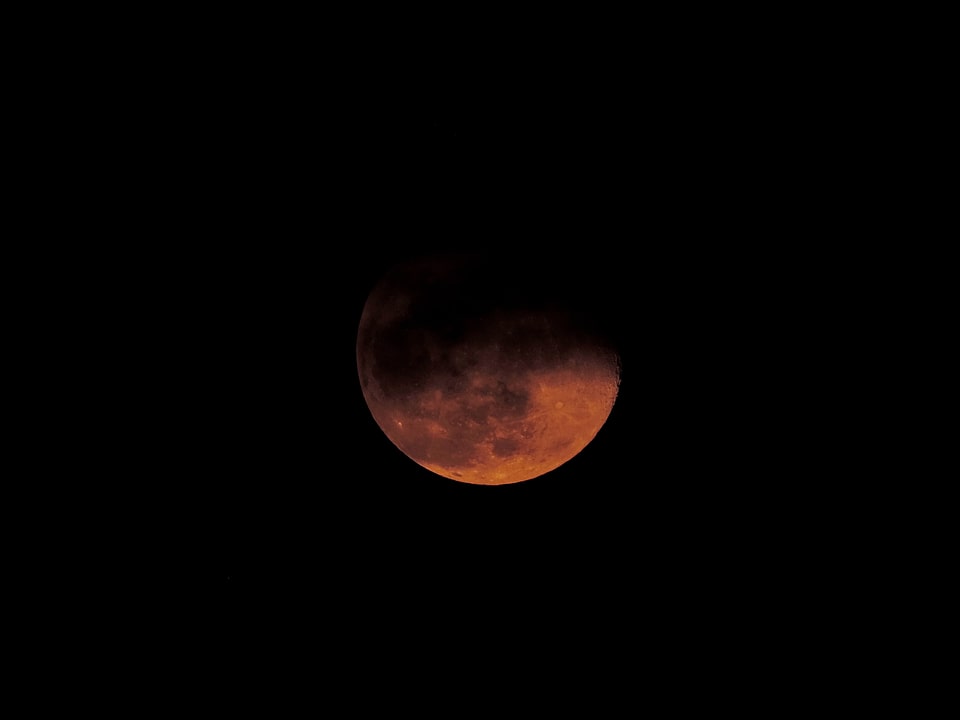
luna
onda marina
acqua
onda marina
radio
tecnologia
scienza
autovettura
veicolo
autovettura
veicolo
tecnologia
industria
tecnologia
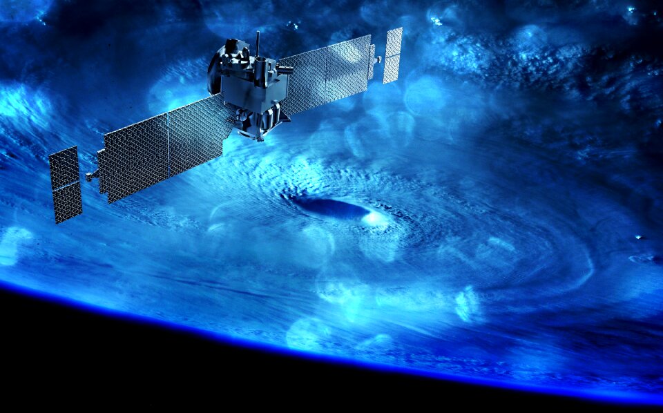
spazio
satellite
spazio
pianeta
spazio
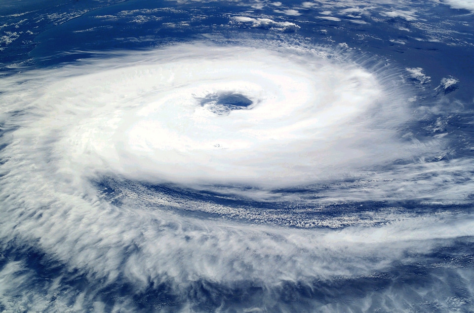
oceano
nuvole
nuvole
tempo
tecnologia
metallo
tecnologia
impresa
scienza
spazio
scienza
spazio
veicolo
scienza
autovettura
veicolo
veicolo
computer
globo
tecnologia
edificio
autovettura
veicolo
paesaggio
inverno
veicolo
scienza
sfondo
natura
veicolo
fantasy
blu
spazio
luna
veicolo
scienza
oceano
nuvole
scienza
spazio
veicolo
scienza
animali
mappe
autovettura
veicolo
satellite
spazio
pianeta
spade
veicolo
scienza
autovettura
veicolo
paesaggio
scienza
tecnologia
industria
paesaggio
scienza
801 - 900 di 1.830
Pagina successiva
/ 19