Log in
All resources
Create a design
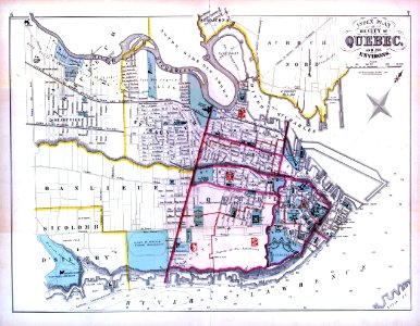
Atlas of the city and county of Quebec from actual surveys, based upon the cadastral plans deposited in the office of the Department of Crown Lands
Download
Edit image
Published by:
Creazilla
Author:
H. W. Hopkins (1838–1920)
Source:
commons.wikimedia.org
Loading...
0 downloads
Print it
Copy image
Loading...
history
historical
skiptag
images from bibliothèque et archives nationales du québec
19th-century maps of quebec city
1879 maps of canada
henry whitmer hopkins
MORE LIKE THIS