Log in
All resources
Create a design
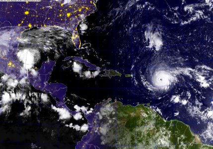
A GOES satellite image showing Hurricane Irma in the Atlantic Ocean. (37044690075)
Download
Edit image
Published by:
Creazilla
Author:
Official U.S. Navy Page from United States of America U.S. Navy photo/U.S. Navy
Source:
commons.wikimedia.org
Loading...
0 downloads
Print it
Copy image
Loading...
satellite pictures of hurricane irma
hurricane katia (2017)
satellite pictures of multiple tropical cyclones
MORE LIKE THIS