Log in
All resources
Create a design
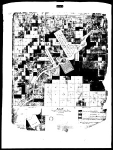
1827 Plat - Twelve Square Miles Reserve
Download
Edit image
Published by:
Creazilla
Author:
US Government
Source:
commons.wikimedia.org
Loading...
0 downloads
Print it
Copy image
Loading...
history
historical
ohio
maumee
skiptag
1827 maps
maps of wood county
maps of lucas county
maps of perrysburg
MORE LIKE THIS