Log in
All resources
Create a design
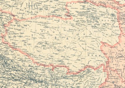
Boundary of Tibet in 1912 map of China with its territories from National Geographic magazine (cropped)
Download
Edit image
Published by:
Creazilla
Author:
Bartholomew, J. G. (John George), 1860-1920, creatorNational Geographic Society (U.S.)Edinburgh Geographical Institute
Source:
commons.wikimedia.org
Loading...
0 downloads
Print it
Copy image
Loading...
history
historical
1912
yamdrok lake
qinghai lake
skiptag
old maps of india
old maps of ladakh
old maps of tibet
old maps of bhutan
old maps of nepal
old maps of sikkim
1912 maps
national geographic magazine
national geographic maps
beiyang government
1912 in tibet
maps of amdo
ü-tsang
maps of kham
old maps of the qing dynasty
changtang
maps of east turkestan
old maps of gansu
maps of the himalayas
maps of the salween river
maps of the mekong
maps of the yangtze river
maps of the yellow river
kunlun mountains
edinburgh geographical institute
john george bartholomew
john bartholomew and son
20th-century maps of china
maps of sino-indian border dispute
MORE LIKE THIS