Log in
All resources
Create a design
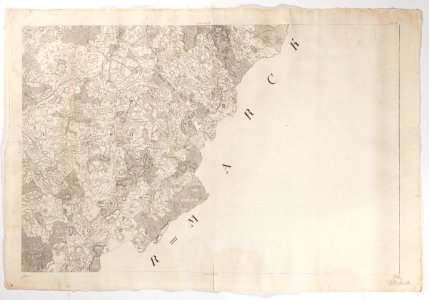
Karta över del av Tyskland 1780 - Skoklosters slott - 98050
Download
Edit image
Published by:
Creazilla
Author:
Erik Lernestål
Source:
commons.wikimedia.org
Loading...
0 downloads
Print it
Copy image
Loading...
maps in skokloster castle
1780s maps of mecklenburg-vorpommern
woldegk
old maps of mecklenburg
MORE LIKE THIS