Log in
All resources
Create a design
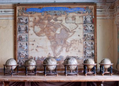
Karta över Afrika från 1688 och jordglober från 1600-talet - Skoklosters slott - 95146
Download
Edit image
Published by:
Creazilla
Author:
Fredrik Andersson
Source:
commons.wikimedia.org
Loading...
0 downloads
Print it
Copy image
Loading...
maps by frederick de wit
fredrik andersson
history of science
maps in skokloster castle
17th-century globes
1688 maps
old maps of africa
MORE LIKE THIS