Log in
All resources
Create a design
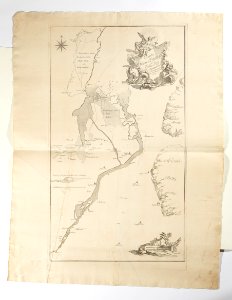
Karta över Vänerns utlopp, med Trollhättan, Halleberg och Hunneberg, 1750 - Skoklosters slott - 98058
Download
Edit image
Published by:
Creazilla
Author:
Erik Lernestål
Source:
commons.wikimedia.org
Loading...
0 downloads
Print it
Copy image
Loading...
maps in skokloster castle
jean eric rehn
old maps of västergötland
maps of rivers of sweden
göta älv basin
maps of (lake) vänern
MORE LIKE THIS