Log in
All resources
Create a design
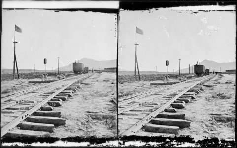
Promontory Point, the spot where the track layers met and laid the last rail. Elevation 4,905 feet. Box Elder County... - NARA - 517296
Download
Edit image
Published by:
Creazilla
Author:
William Henry Jackson (1843–1942)
Source:
commons.wikimedia.org
Loading...
0 downloads
Print it
Copy image
Loading...
history
historical
skiptag
nara images of utah
black and white photographs of utah
1869 in utah
stereo cards of utah
1869 in rail transport in the united states
promontory summit
MORE LIKE THIS