Log in
All resources
Create a design
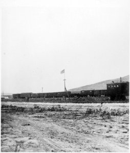
Promontory Point, the spot where the track layers met and laid the last rail. Elevation 4,905 feet. Box Elder County... - NARA - 517298
Download
Edit image
Published by:
Creazilla
Author:
William Henry Jackson (1843–1942)
Source:
commons.wikimedia.org
Loading...
0 downloads
Print it
Copy image
Loading...
history
historical
utah
promontory
skiptag
nara images of utah
black and white photographs of utah
1869 in utah
promontory summit
MORE LIKE THIS